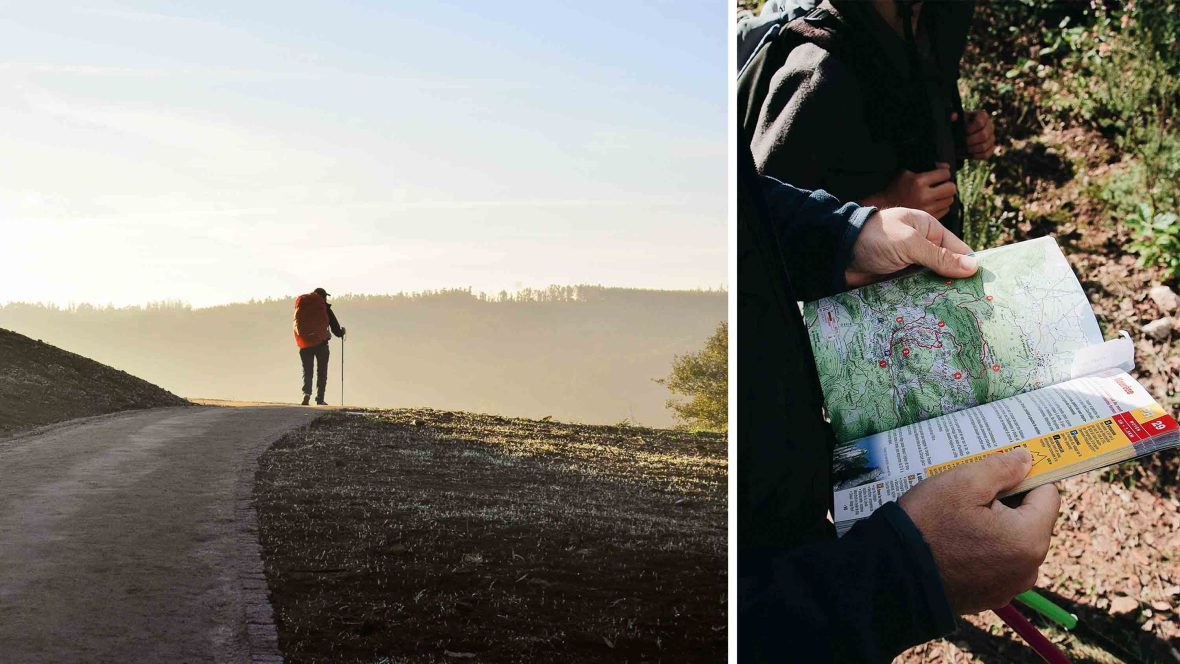
I’m old enough to remember what hiking was like before cellphones became standard outdoor recreation tools—how my family would snag a print map at an unfamiliar trailhead or how I trekked the Camino de Santiago across Spain at 19 with nothing but a guidebook.
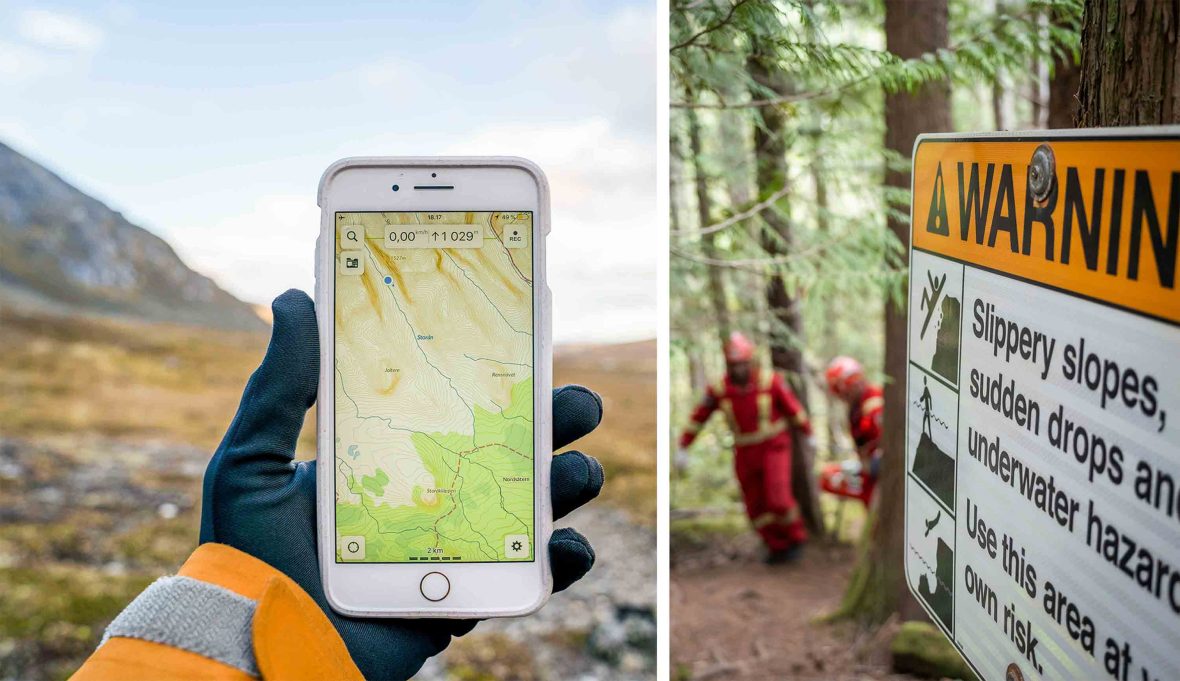
But now that hikers can comb through Reddit comments to find unlisted routes or find information on trail elevation, length, and conditions on a trail app, they no longer need to rely on maps or guidebooks to plan a hike. Many of us use these resources without second thought… and also without considering their potential consequences.
When I lived in the mountain town of Telluride, Colorado, I heard rumors of a place called ‘Little Hawaii,’ where waterfalls and moss-covered rocks looked straight out of the tropics, not the mountains. Eventually, a long-time local told me where to veer off a designated trail to find it—with the stipulation that I not share the secret.
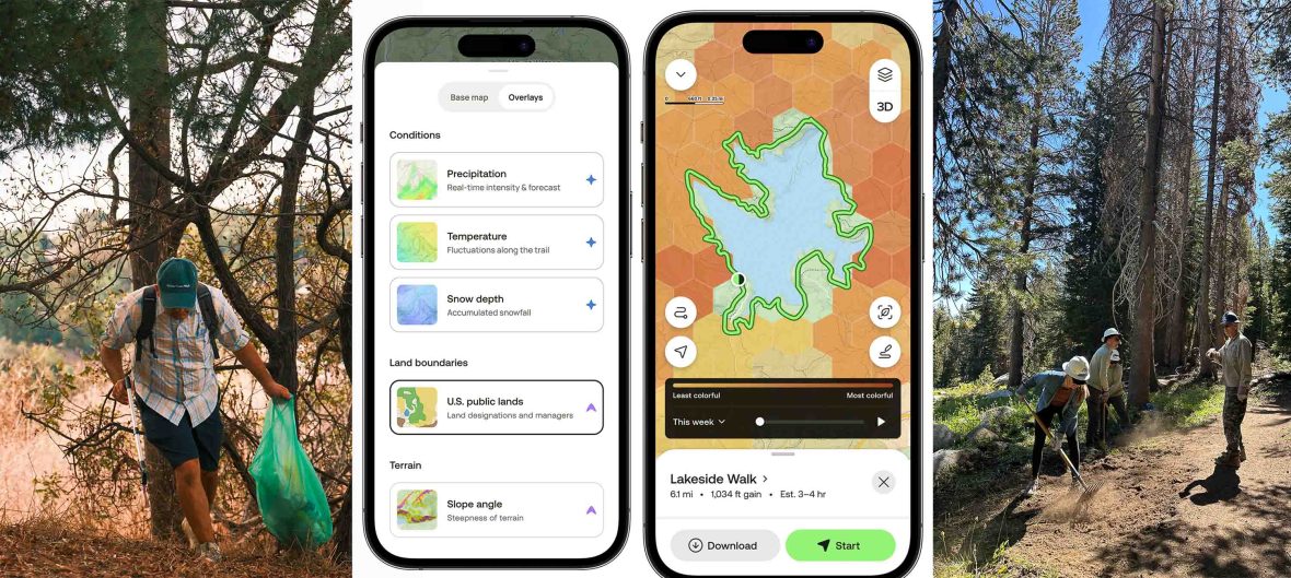
But the secret was already out online—viral, geotagged Instagram posts and blog articles directed visitors to the spot, contributing to overuse that had land managers scrambling. Similar problems have popped up around the world as public trail mapping, online forums, and apps like AllTrails, onX Backcountry, Gaia GPS, Komoot, Trailforks, and others have created a kind of information whack-a-mole for land managers. It’s raised several questions, one of which is: Who’s responsible for managing trail data?