Speed hiker and trail mapper Manvendra Singh Shekhawat is on a mission to make India’s outdoors more accessible. And he’s doing so by digitally mapping the country’s ‘invisible’ trails—the routes used for centuries that aren’t in any guidebook.


Speed hiker and trail mapper Manvendra Singh Shekhawat is on a mission to make India’s outdoors more accessible. And he’s doing so by digitally mapping the country’s ‘invisible’ trails—the routes used for centuries that aren’t in any guidebook.
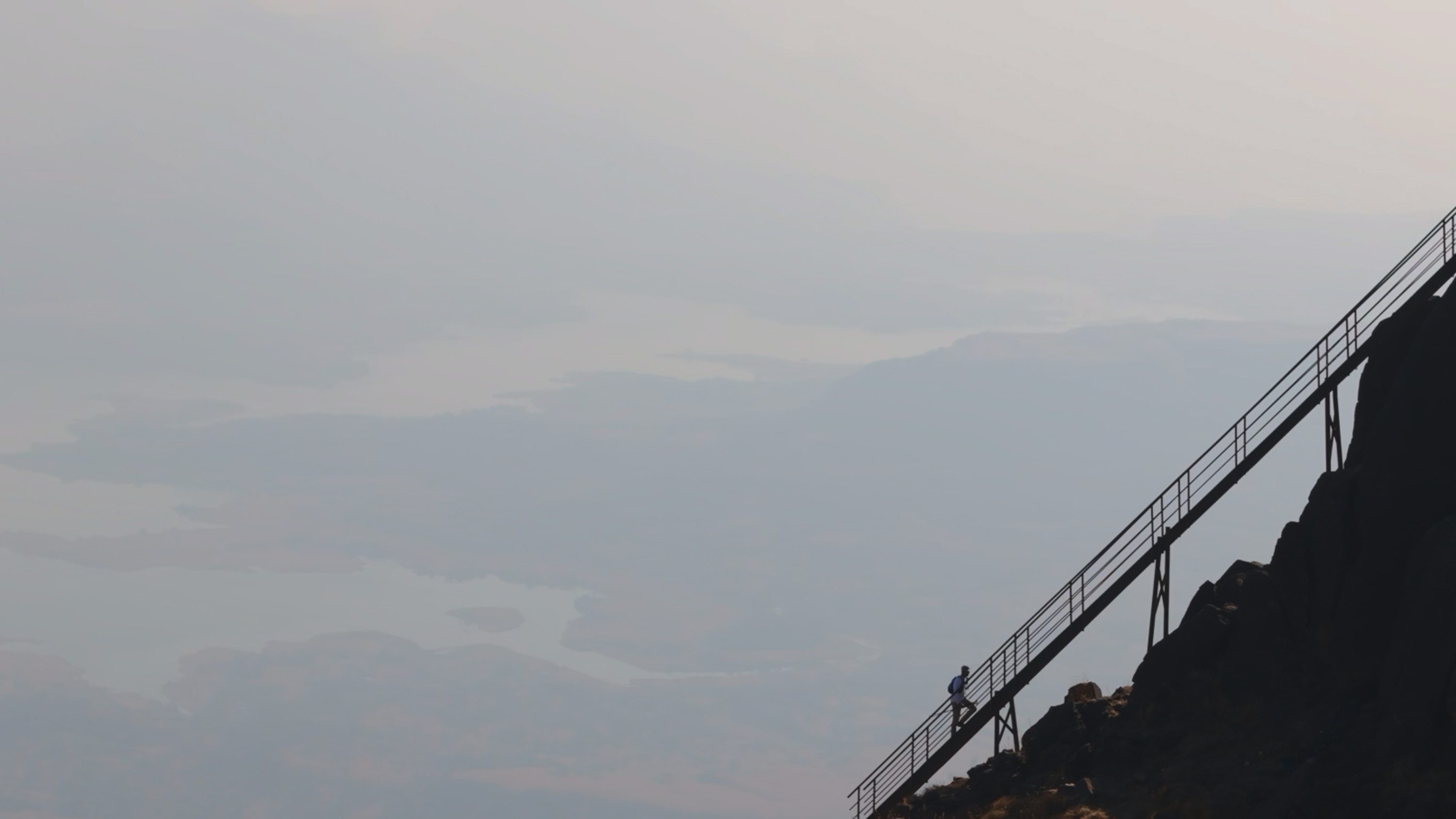
The line of vision ends 15 steps ahead. A man slowly descends the 1,300-foot (400-meter) volcanic rock face, clutching at the primitive footholds. No guard railings, no guarantees. Out here, on this ancient route where metal pegs, hooks and nails are hammered into the Sahyadri mountains, in India’s western Maharashtra state, there’s zero margin for error.
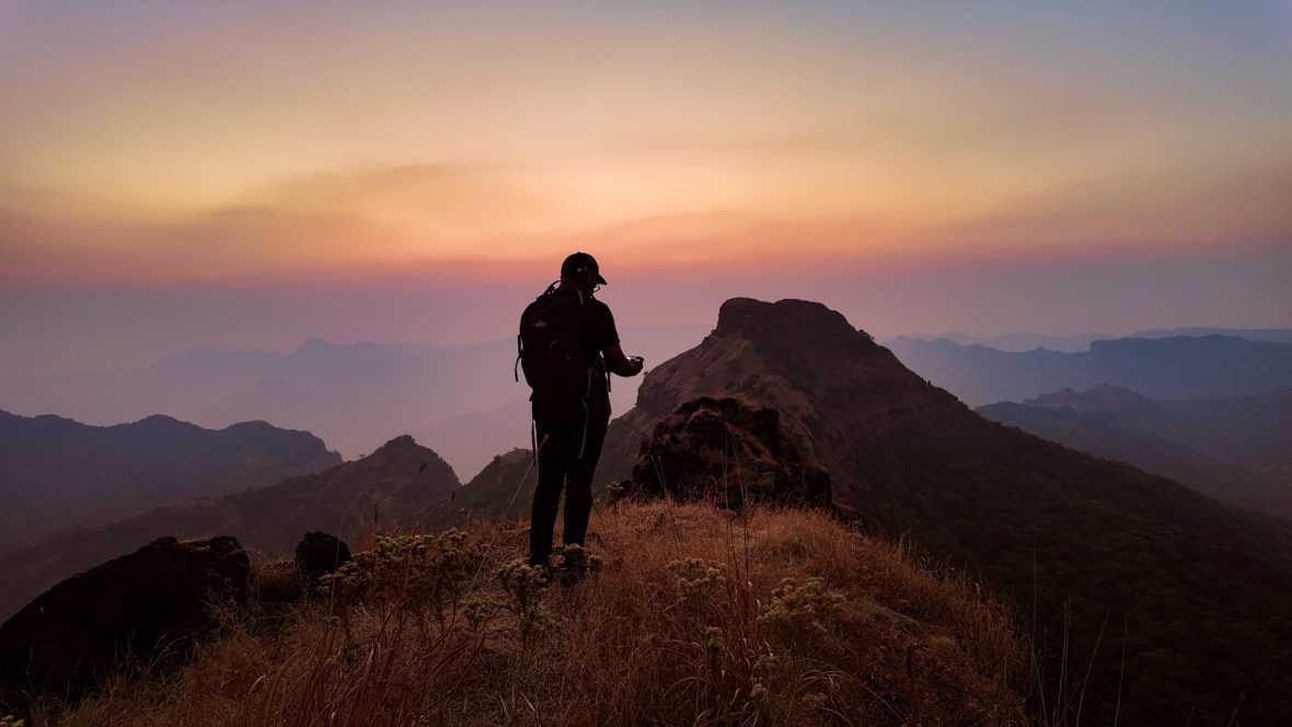
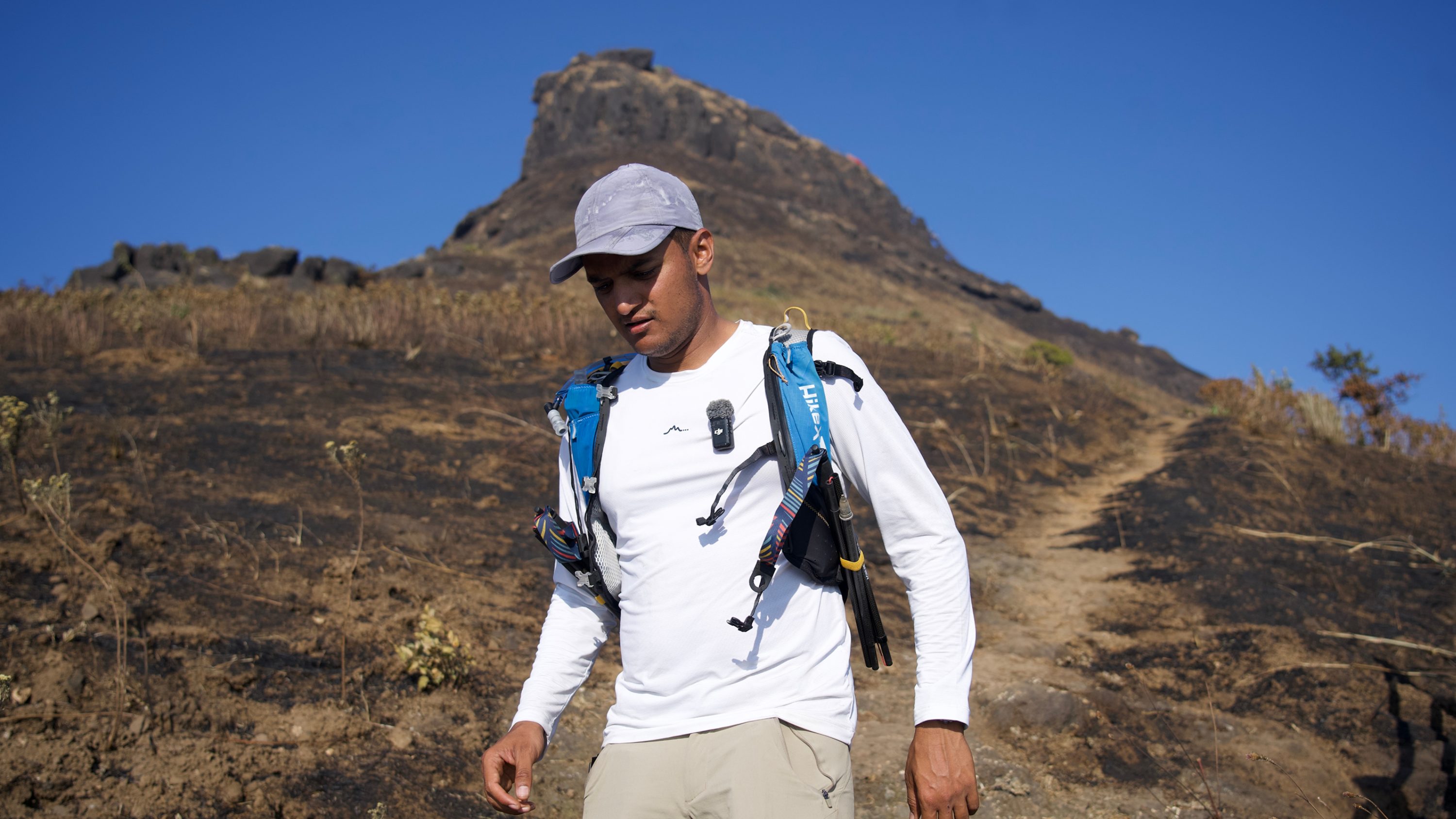
It takes him four hours to move just over a mile down the wall. When the man reaches the tree line, he’s shaking from the adrenaline. Nightfall brings a switchback: Cleaning GPS traces, updating field notes, and syncing terrain data over a patchy network. He responds to messages from the thousands following his progress on the WhatsApp group chat, and plans his route for tomorrow. For speed hiker, outdoor educator, and trail mapper Manvendra Singh Shekhawat (Manav), wilderness is both work and life.
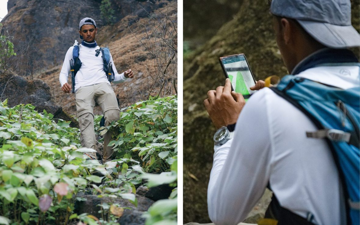
I first started following Manav on social media after watching a video of him descending the Sahyadri mountain face. In it, he confesses to being “shit scared”, which I thought was very real of him. “I had no choice but to descend this rock rather than climb it. Now I’ll have to figure out the rest of the plan,” he shared with his followers.
A few weeks later, we’re on a call and I can hear the gentle rumble of a waterfall in the background. He’s in Vashisht, a small mountain village in Himachal Pradesh, a state in northern India, where he’s about to kick off a field training session. “Hiking is a process,” he tells me. “I’ve just got to get better at it. Some days don’t go as planned. But then, I’ll have a story to tell.”
“We have thousands of living, working routes that have been used for centuries for religious, spiritual, and functional reasons, like collecting firewood, grazing cattle, and commuting. These time-tested routes connecting dozens of villages, a few kilometers apart, are pure gold for a hiker.”
- Manav Singh Shekhawat
We talk of beginnings. Electronics engineering, civil services exams… nothing made sense till he forged a connection with the mountains. “I just had this urge,” he says. “I had to do this or regret it forever.” So he left his civil services studies, signed up for mountaineering training, and joined a few friends to run a trekking club in Hyderabad, over 600 miles (1,000 kilometers) from Jaipur, his hometown.
The real inflection point came when he discovered how much of the landscape he could cover by traveling light with just a 10-liter daypack. “I was doing four-day treks as 12-hour day hikes.” Speed hiking and remote explorations eventually led him to hike documentation and from there he launched Hiking Field Course—India’s first independently run, week-long outdoor training program that teaches essential hiking skills such as navigation, camping, route planning, and wilderness safety.
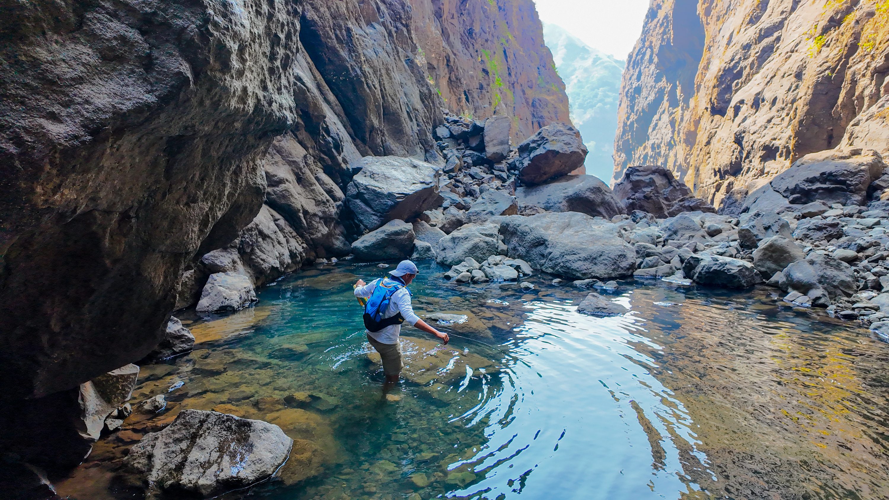
Over the last decade, Manav has clocked over 86,00 miles (14,000 kilometers) in India, Nepal and Indonesia, and mapped over 5,000 of those miles to OpenStreetMap, the free, editable Wikipedia of maps, built and maintained entirely by a global community of volunteers. These maps include roughly 20 high-altitude lakes in Lahaul and Ladakh, and 21 peaks above 20,000 feet (6,000 meters) in Ladakh. The northernmost tip of India, though, is only one chapter in his journey.
“Our country has a huge amount of wilderness, but only a few dozen popular hiking routes,” he says. “Guided companies cannot power the whole landscape. What if people had access to hundreds and thousands and lakhs [South Asian numbering for 100,000] of kilometers?”
“In India, we love the idea of the outdoors, but we don’t have the skill set to enjoy it confidently. I want to put the word ‘mother’ back in mother nature—with easy, inclusive routes,” says Manav. “If I map a trail today, and somebody gets stuck on it, the rescue team will be able to reach him. Mapping is that foundation layer. That’s why I’m trying to create an army of mappers through my hiking field course.”
Through HikeX, an online-community focused on education and skills, co-founded in 2023 with friend Shubrank Mukhiya, Manav is documenting India’s vast, invisible infrastructure of walking trails through painstaking groundwork. “Unlike the West, there is no clear-cut demarcation between front country and backcountry in India,” he tells me.
“In fact, we have thousands of living, working routes that have been used for centuries for religious, spiritual, and functional reasons, like collecting firewood, grazing cattle, and commuting. These time-tested routes connecting dozens of villages, a few kilometers apart, are pure gold for a hiker.”
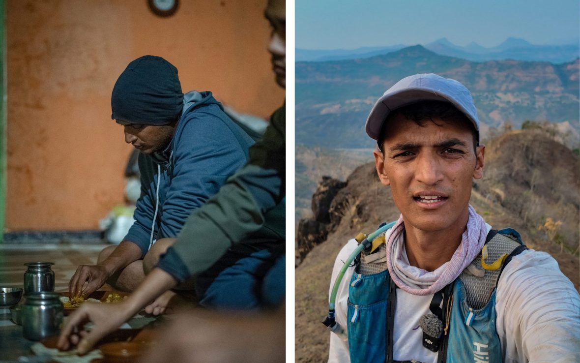
HikeX trail mapping methodology involves some hard-core fieldwork: Capturing features like springs, shelters, campsites, and hazards; recording GPS traces; navigating terrain; and uploading routes to OpenStreetMap. But the most valuable intel? That comes from conversations with experienced hikers and locals. “Every HikeX community hike for the last four years has been a chance to learn local route knowledge,” he tells me. “I’d note down every route a villager mentioned that wasn’t on any map.”
But there’s a catch. Well, two catches, in fact. Many centuries-old trails are at risk of roads being laid over the top of them, and more and more locals are leaving rural regions in favor of urban towns. “When people stop walking such routes, the wild takes over,” he continues. Trails vanish.
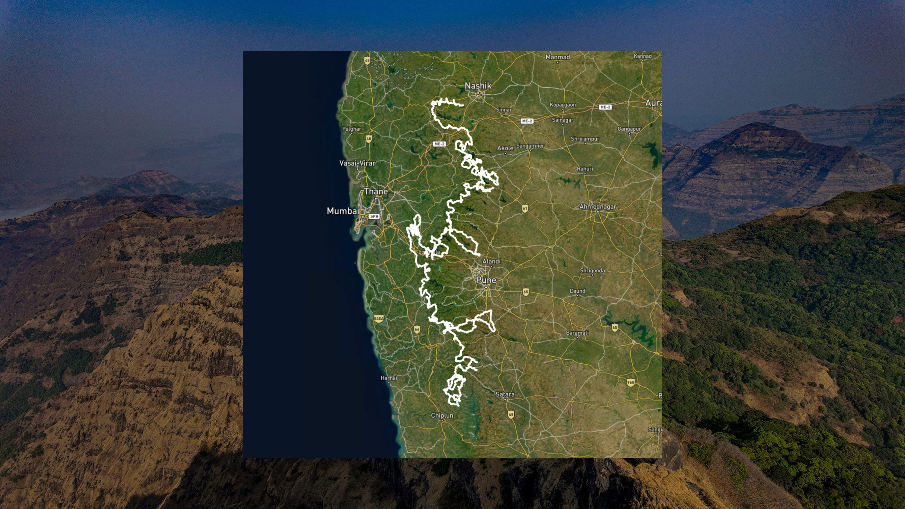
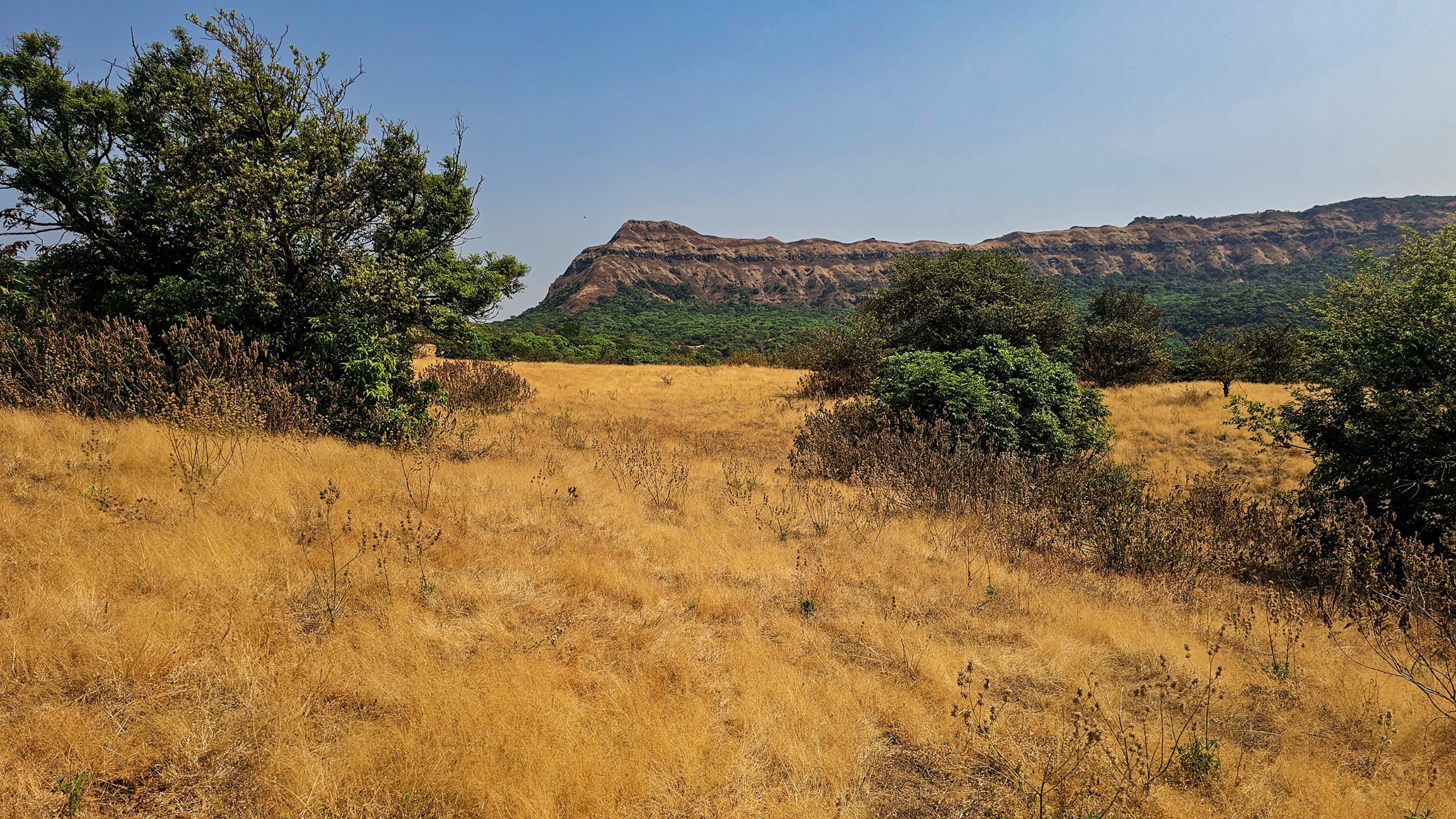
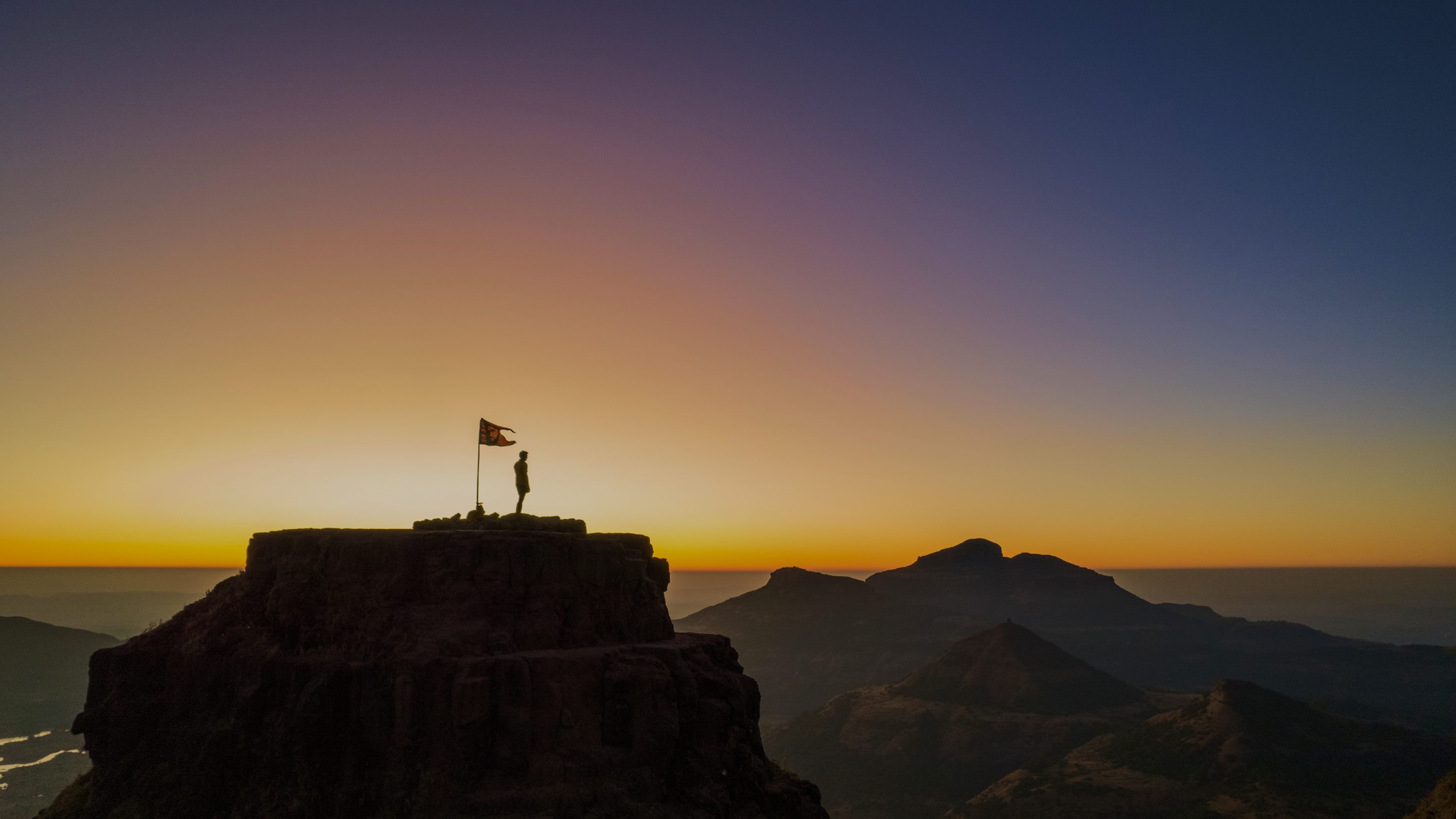
This urgency prompted the most ambitious project that HikeX has ever attempted: The Epic Sahyadri Trail (EST). A continuous walking journey of over 1,200 miles (2,000 kilometers) across the entire length of the Sahyadri Mountains, running parallel to India’s western coastline along the Arabian Sea. This stretch of the richly biodiverse UNESCO-listed Western Ghats, an expansive mountain range stretching 1,000 miles, filled with monsoon forests, rugged ridgelines, volcanic cliffs, waterfalls, and the impressive fort trails built by the Marathas (local chieftains) between the 17th and 19th centuries.
“There’s no need to carry a house on your back. The village-to-village structure is an inbuilt safety system. We have identified locals as relay guides to hand you off from one section to the next.”
- Manvendra Singh Shekhawat
“What makes the trail special is the split: The low-lying coastal Konkan belt dropping towards the Arabian Sea and the higher Deccan plateau (Desh) sitting above,” says Manav. I can see why he’s particularly excited about this new route. With moderate elevations and a nine-month-long hiking season, this region could have broader hiking appeal than any other in India.
Manav completed a full scout of the EST in just 70 days. He rattles off the statistics: 1,263 miles (2,033 kilometers); a cumulative climb of 306,602 feet (93,288 meters). “That’s roughly equivalent to summiting Everest from sea level every week,” he adds for context.
“People are surprised that I can hike for days with a small backpack. My trick is to carry multi-purpose items, like a trekking pole that doubles as a tent support. If we meet in a city café, don’t expect loafers on my feet. I’ll be in my hiking shoes.”
I’m curious about how he maintained his energy levels throughout. “I designed a nutrition plan to counter palate fatigue and minimize calorie deficit and loaded a lot of carbs and fat in my body initially,” he explains. “I was losing 4,000 to 4,500 calories every day. By the time I completed the EST, I’d lost nine kilograms (19 pounds).”
As if reading my thoughts, Manav tells me that the EST however is not just for extreme adventurers—nor does it need to be an endurance test. The route has been broken up into 11 sections and 40 stages, so even beginners can attempt its smaller segments.
HikeX is also building an online expedition hub for the EST, complete with trail notes, hazard information, route breakdowns, audio logs, and a free 40-part walkthrough series. “Imagine orange ribbons tied to branches to show you are on the EST, or blue ones to show you’re on a side trail,” he explains. But government support of this scale could take years.
Manav also envisions the EST morphing into India’s longest homestay trek. “Think of it as a hotel lobby with entries and exits almost every day. You could hike 10 kilometers (six miles) at a slow pace and rest in a village by evening, eat fresh food, and continue the next day,” he says. “There’s no need to carry a house on your back. The village-to-village structure is an inbuilt safety system. We have identified locals as relay guides to hand you off from one section to the next.”
He hopes it will create entirely new economies around guiding, food, and homestays in isolated regions. It’s also what makes the EST culturally distinct. “They host you in their own home, you eat with them, see their children’s books on shelves, the paintings on their walls. Over long distances, you even notice changes in food, dialect, and architecture from one village to the other,” he says.
I want to know how he feels about EST as a big win. “In my head, I was just following a process…day 1, day 2, day 70,” he tells me. “It was only when I saw a group of 25 people at the completion stage, including my mom, dad, my sister, and my niece, that I broke down in tears and realized that it was something worth celebrating.”
Manav and Mukhiya are advocating for the EST to be formally recognized as a national tourism asset, similar to the US National Scenic Trails System which comprises over 19,000 miles (30,000 kilometers) of protected national pathways. “The same playbook can apply across the entire country,” he says, his tone perking up as if he’s visualizing it happening already. “It could totally change the worldview of the Indian outdoors.”
****
Adventure.com strives to be a low-emissions travel publication. We are powered by, but editorially independent of, Intrepid Travel, the world’s largest travel B Corp, who help ensure Adventure.com maintains high standards of sustainability in our work and activities. You can visit our sustainability page or read our Contributor Impact Guidelines for more information.

Punita is a travel writer based in New Delhi, India. Her quest for history, heritage, food and fairytales to over 40 countries and all across India. She writes for select publications including National Geographic Traveller India, The Independent, Lonely Planet, Travel & Leisure, Time Out, Matador Network, and Conde Nast Traveller.