
Have you ever wondered how a hiking trail came to be? Why this path and not that one? Our featured contributor Leon McCarron joins fellow adventurer Tom Allen, who’s helping to design a new hiking trail that runs the length of the Caucasus.
I had walked many thousands of miles on trails around the world before I really began to ponder the question: How does one build a hiking trail?
What are the fundamental elements? Does it, much like a book, have an author to design the arc of the experience? And what of the practicalities? What’s involved when it comes to boots on the ground?
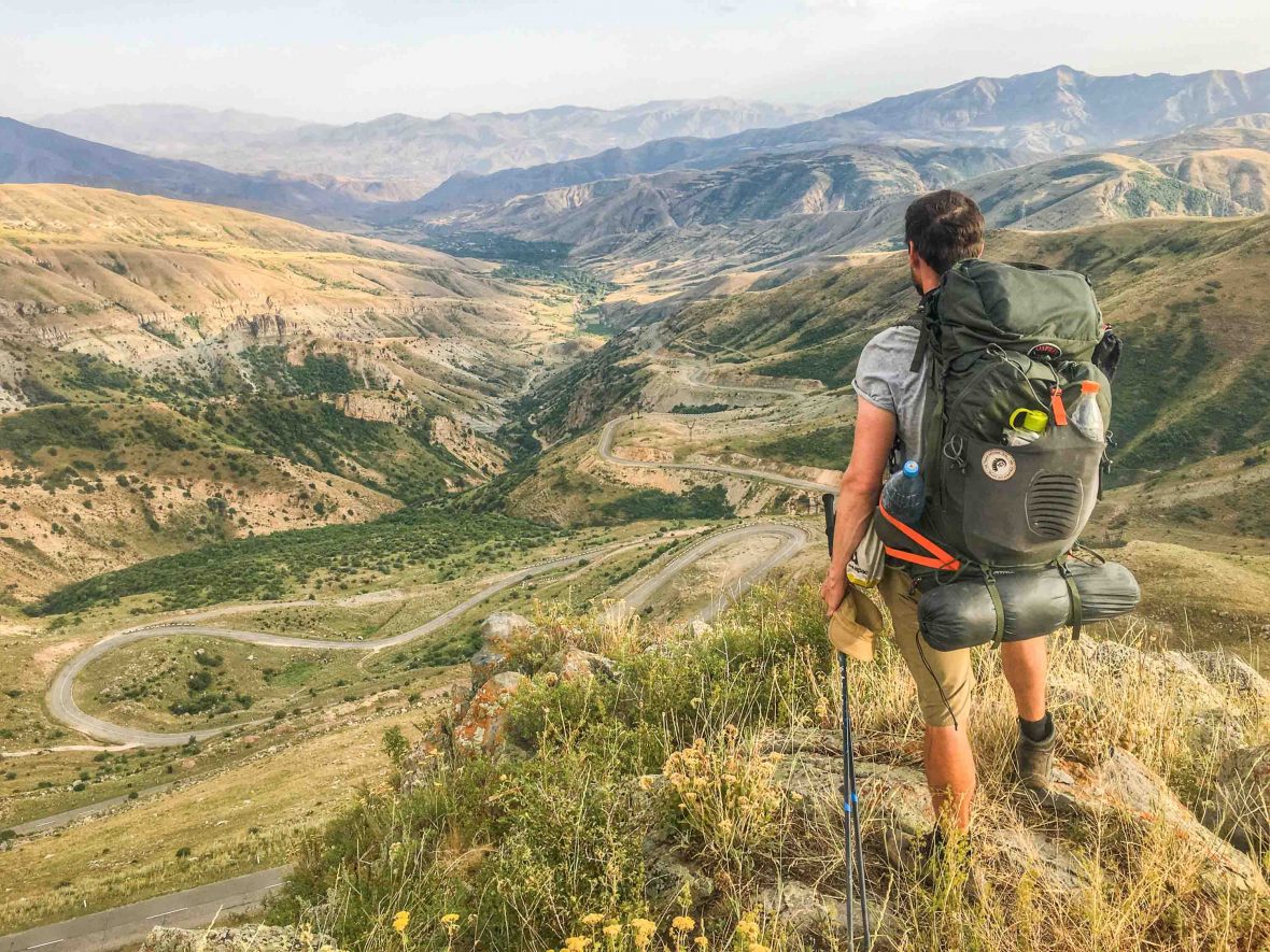
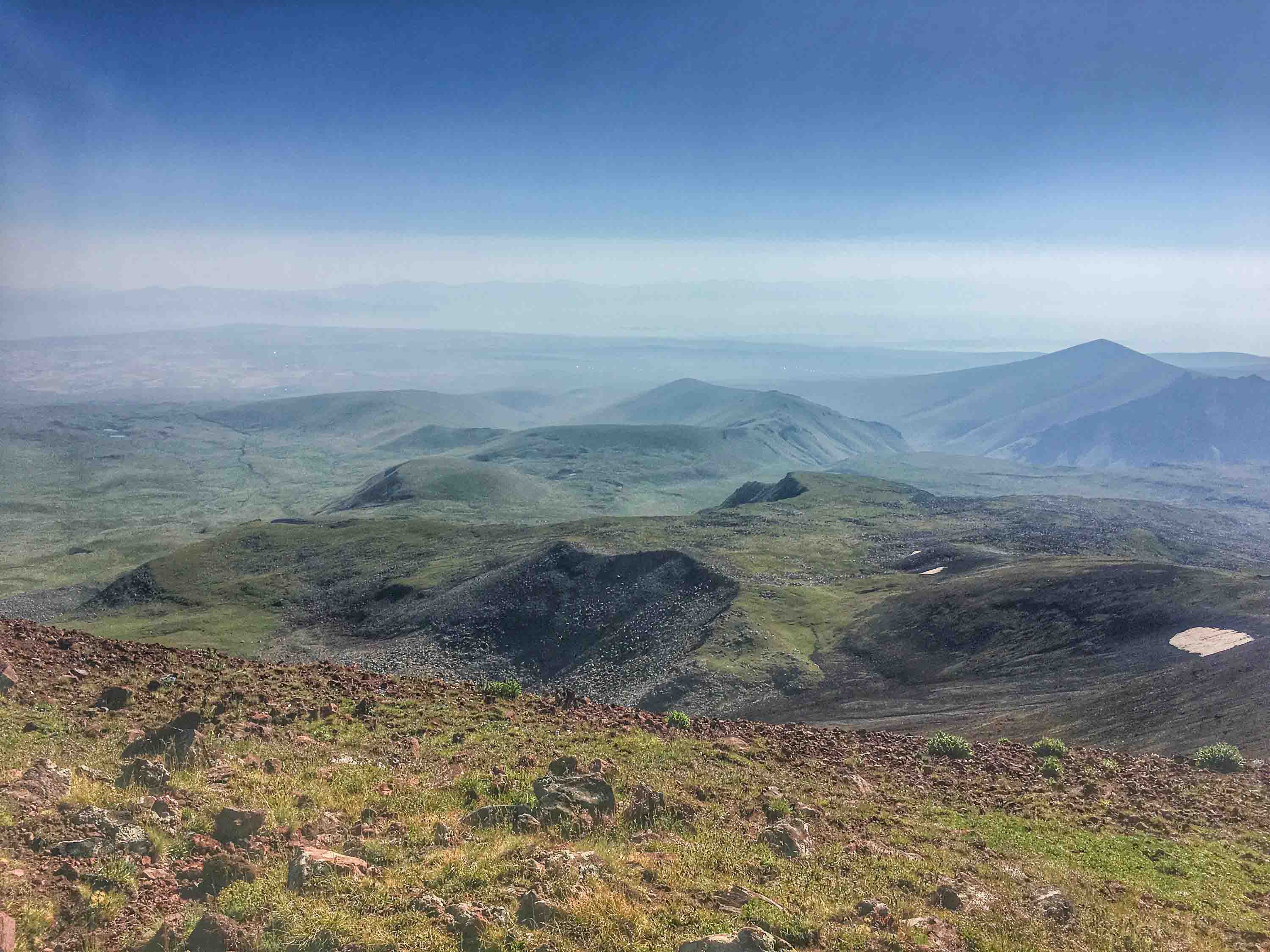
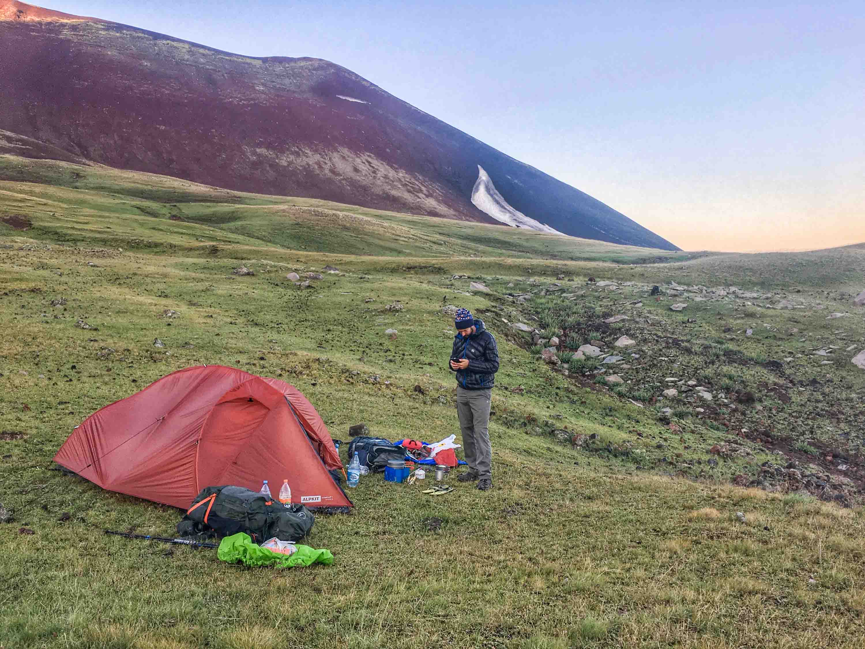
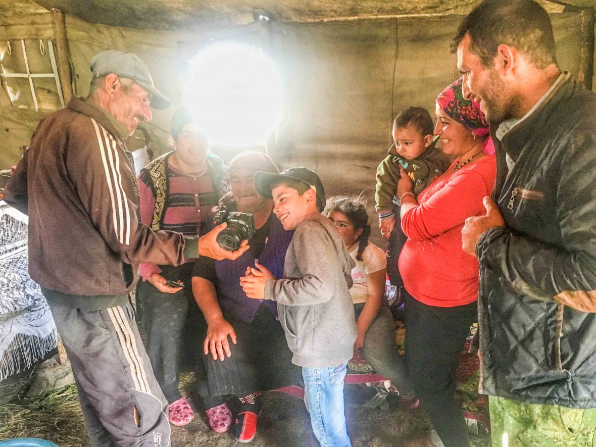
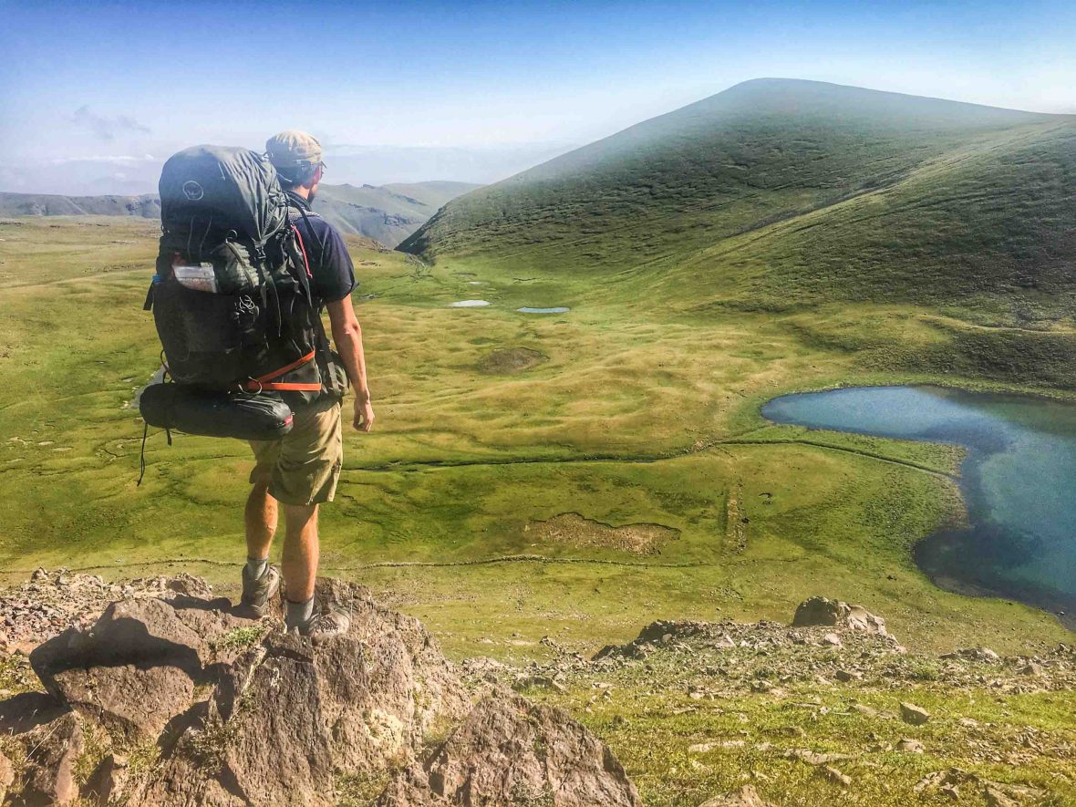
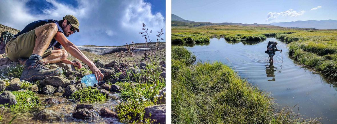
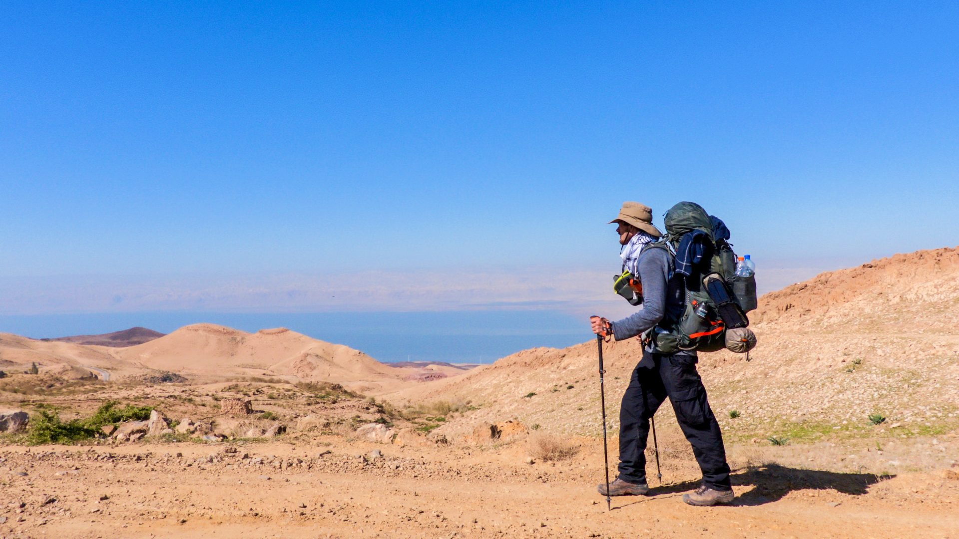
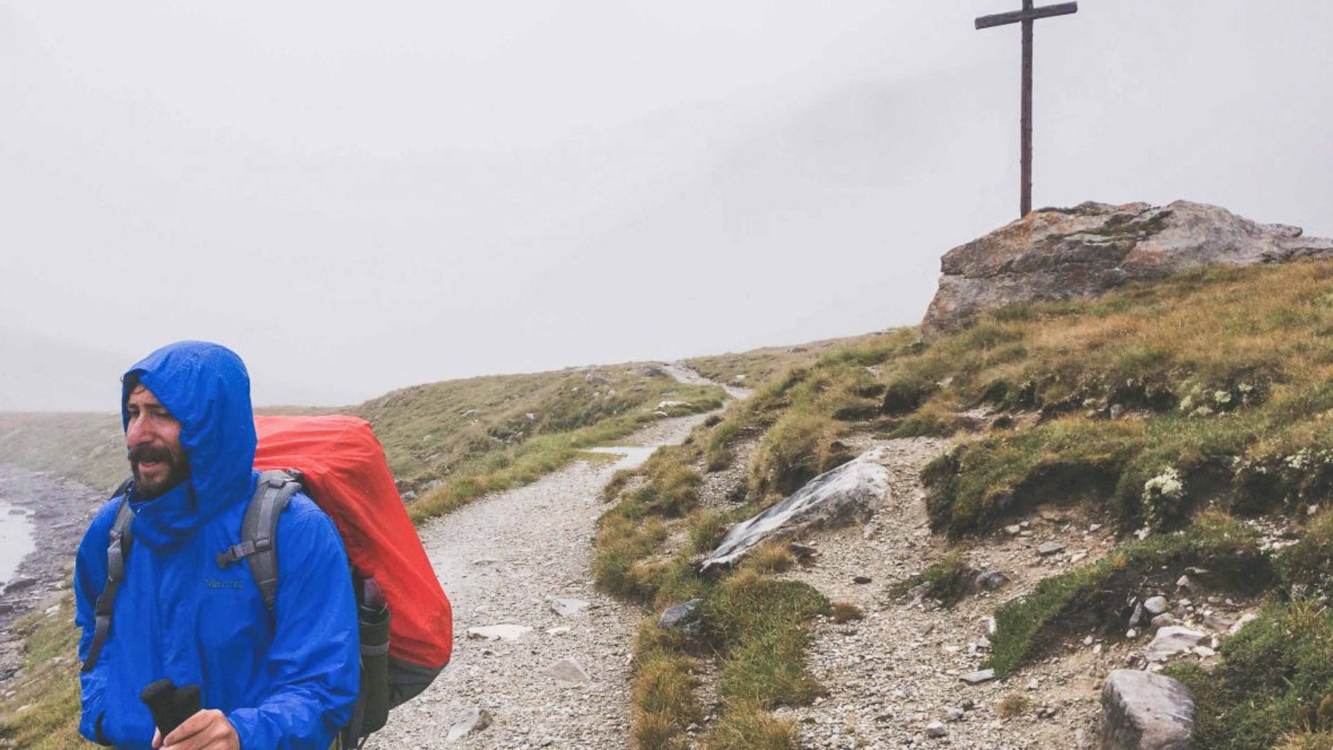
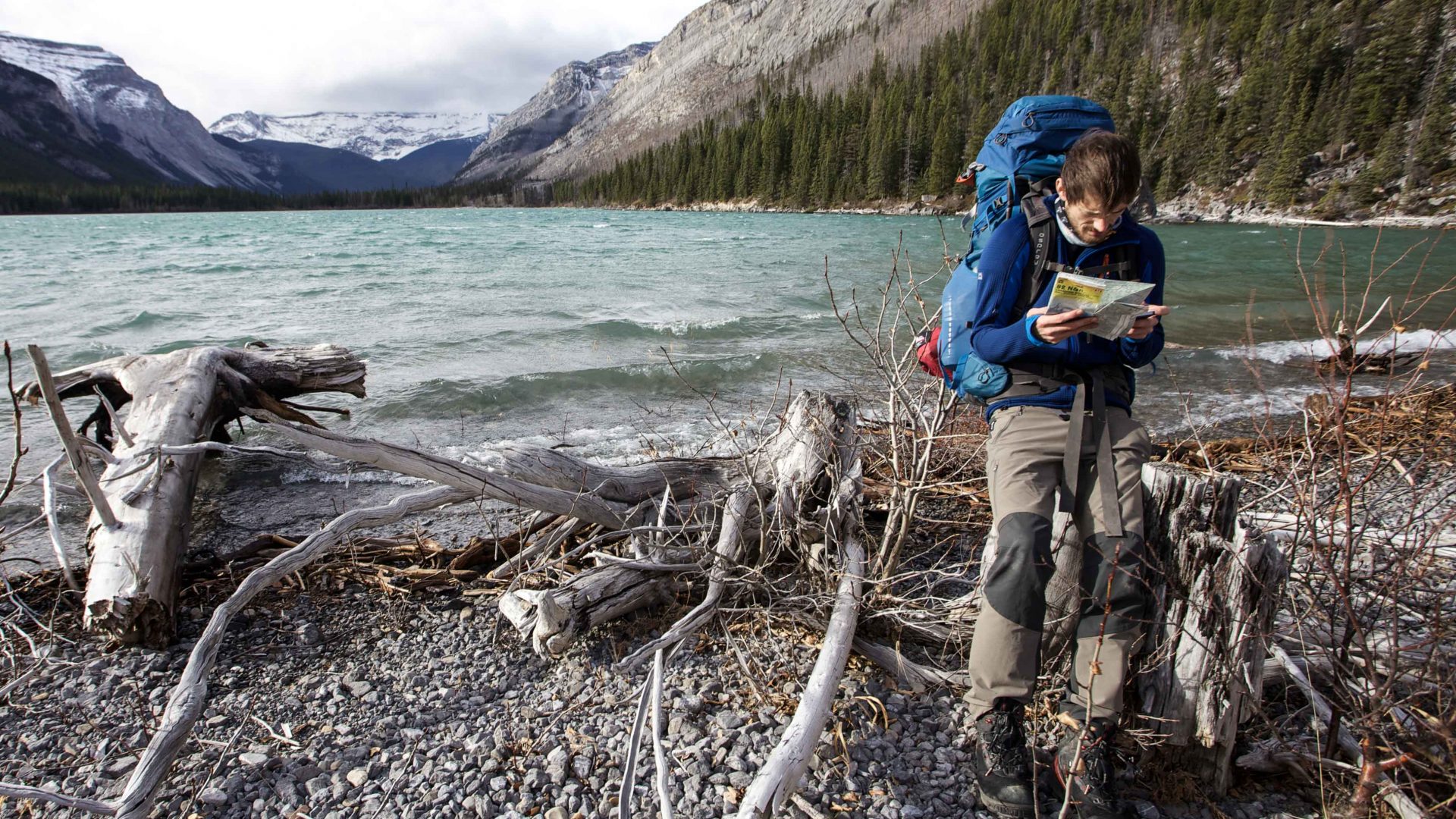
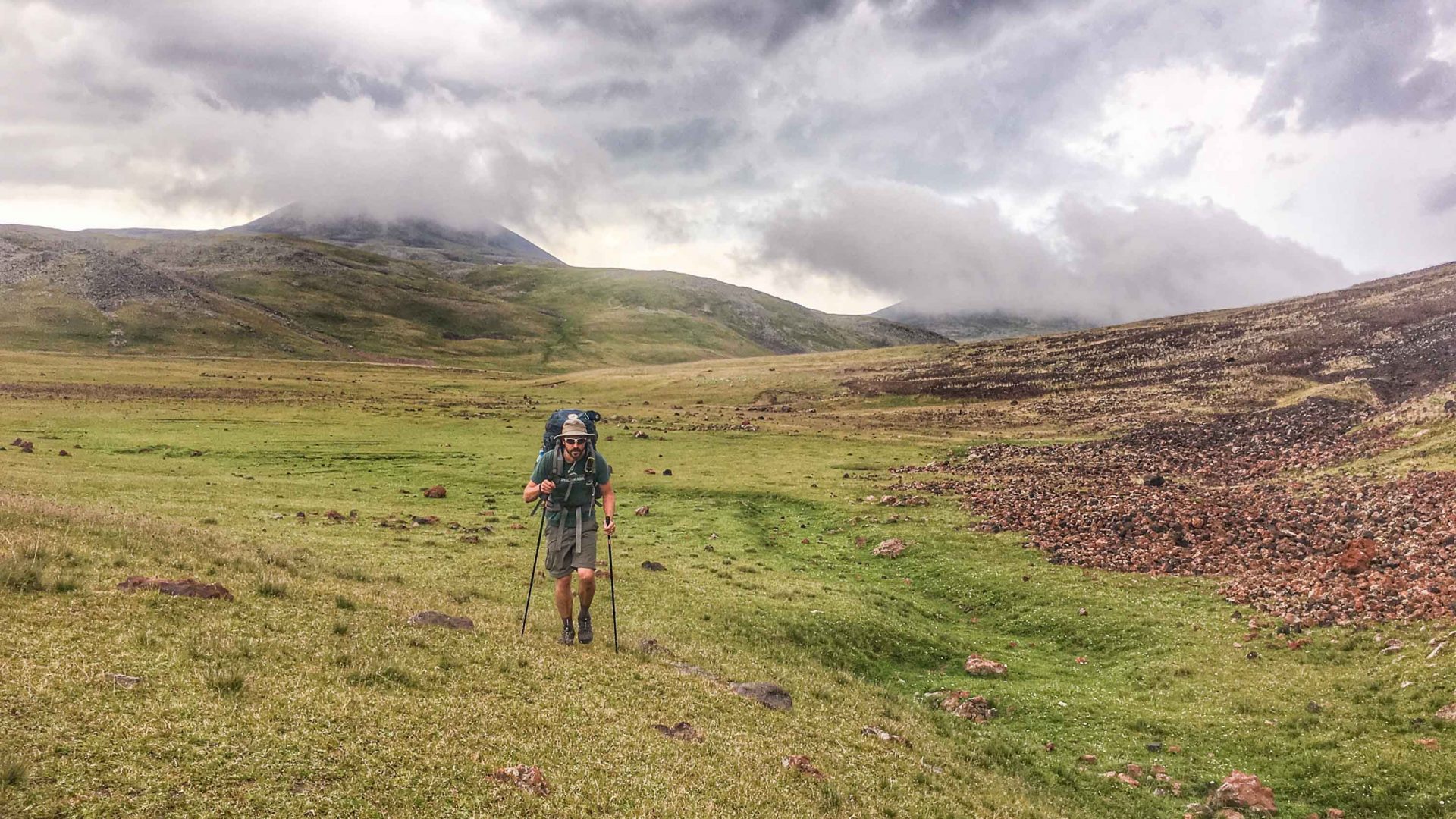
Trails are something of a curated experience in that sense, but ones that allow ample space for adventure. In the summer of 2017, I joined my friend Tom Allen for a traverse of a remote volcanic mountain range in a country that I’d never been to, but that had been his second home for as long as I’d known him and where he was now creating a long-distance hiking trail. We’d walk and I’d listen and, hopefully, we’d make it to the other side in one piece. That was about as much of the plan as I knew.
It was perfect.
The Republic of Armenia is a relatively new country in political terms at least, formed in its modern incarnation during the collapse of the Soviet Union, yet it has a history that stretches back almost 3,000 years. It’s fiercely mountainous, being part of the Lesser Caucasus range that ripples the landscape from the Black Sea to the river Arax on the Iranian border—and, because of its strategic location as a crossroads between the great empires of old, it’s always been a land littered with pathways that carried so much, both real and intangible.
RELATED: Is walking the most adventurous way to travel?
Ideas and innovations and religion moved from one continent to another, carefully shaping and connecting the worlds of east and west and these notions, along with goods and spices and silks and more, were carried by the constant processions of traders and armies and pilgrims and refugees. It is a place where to walk is to step out upon these layers of the past and, if one is lucky, to revive those notions of old.
I meet Tom in Yerevan, Armenia’s traffic-clogged capital, from where we drive north to the heavily forested region of Dilijan where Tom has been living for most of the summer. After lengthy journeying together in Iran and Patagonia, we were well used to the other’s company, but this one would be different. It’s not a one-off expedition; Tom hoped that we’d traverse the Geghama mountain range in central Armenia from north to south, thus scouting its potential as a future section of an ambitious pet project that he’s been part of—to build a world-class hiking trail that runs the length of the Caucasus.
Tom chooses this point to tell me he’d heard of a mountain guide who got killed by a strike here. The storm outside is so loud that he has to yell this to me three times before I hear; the impact was keenly felt.
We print out topographical maps from the 1970s—they’re still the best available for much of the ex-Soviet Bloc—and begin the familiar rigmarole of loading food and gear into packs, then delaying, for as long as possible, the dreaded moment when it must all be hoisted onto unprepared shoulders.
It’s well into the afternoon, and two days later than planned, when we are dropped off at the roadside by Tom’s brother. “See you in a few weeks!” he says, with the cheeriness only someone who knows where they’ll sleep that night can have. And with that, he’s gone. We take our first steps and wouldn’t feel tarmac underfoot again for quite some time.
For most of the year, the Geghama are inaccessible due to heavy snow, and even now, from our starting point, we can see the glint of winter’s leftovers cresting the mountain tops. Within a day, we’d left behind the signs of civilization (or rather, cultivation) and the first volcanic domes rise up before us, beginning as pimples and growing in the distance to great tumors on the landscape. Tom consults the map and ticks off our progress; from the edge of Lake Sevan to Mount Tas, and from Mount Shishdebe to Lake Akna. We camp on the shoreline of the latter, and bathe in the crisp waters under clears skies.
As we move, swallowed by the mountains, Tom would stop to check his two tracking devices. We follow lines from the Soviet maps that were once jeep tracks taking soldiers to God Knows Where. Now, most are no more than a mere hint, but there’s usually an indentation on the earth or some other marker that could be coupled with a bit of imagination to allow progress in a vaguely pleasing direction.
At other times, when tracks completely fail to transpire on the same spot where they’d been marked over 50 years ago, we look instead for desire lines; the routes of least resistance taken by animals and shepherds in intervening years. In this way, Tom can update the trails that carved their way through the landscape and add a digital layer to those steps that came before.
The central feature of our journey would be an ascent of the highest mountain, Azhdahak, visible for days before we tread upon its flanks. Tom had studied the weather systems here and suggested it was likely to be clear in the mornings, but by afternoon, storm clouds have gathered around the 3,597-meter summit. Sometimes, physics is magical.
RELATED: What can a really long walk in the Alps teach you about life?
That night we camp high, in the folds of the mountain, and listen from inside the tent as heavy rain turns into fat hailstones, like cannonballs pounding our canvas. Then, lightning. Tom chooses this point to tell me he’d heard of a mountain guide who got killed by a strike here. The storm outside is so loud that he has to yell this to me three times before I hear; the impact was keenly felt. Finally, with little else to do, we accept whatever fate may come and fall into an uneasy sleep.
By morning, the clouds have dispersed, and we clamber up over loose rock and through thin air to the very top, from where it feels like the whole world is visible. An iron cross and a lightning rod watch out stoically, and I ponder on how at least one of those had kept us safe the night before.
Due to the isolation, there are no permanent residents in the Geghama but, during the brief weather window in summer, nomads from the southern plains ascend to the plateau with their livestock and assemble rudimentary homes in canvassed tents. Most are Yezidi, a distinct ethnicity from Armenians, and the largest minority in the country. I had met Yezidis before in Iraq, but here, we were told, while there’s a connection in their belief system, most were wary of leaning too heavily on the relationship. In Armenia, Yezidis are well-integrated, and the nomads seemed keen to distance themselves from the troubles of the Middle East.
Walking with him answered many of my questions—a trail is built by walking, of course, but also by planning, and by collaboration with local communities … a path must be cared for and created by those who live along it—otherwise it will not survive.
Tom translates—his Armenian is near-fluent—and tells me what he knows of the great and under-celebrated diversity of Caucasus; ethnically and linguistically, botanically and biologically. When I travel, I realize that I know very little indeed. Growing up in the western (or, if you prefer: Irish, British, European) world, I have learned just one strand of the inter-connected global narrative: There’s so much more.
Once we’d worked our way through the packets of food in our bags and walked for 10 days to the Selim Pass (this had a grander vista than even Azhdahak) we end at a well-conditioned remnant of a Silk Road caravanserai (roadside inn) and, from the first blacktop road, we hitchhike back to Dilijan.
We return lighter of pack and body—and with the joy of having made a journey that Tom could find no record of being done before (although take this achievement in context; around the same time, a young Brit called Val Ismaili hiked over 1,000 miles from the Iranian border to the far side of Georgia, using only a prototype of the future trail route that Tom had guessed might work).
We also return with a more tangible bounty than mere memories; the digital data of our path, and the first steps to mapping the area. Tom had noted each aspect of our track, from points of cell phone signal (few), to potable water sources (many). This particular route will not be for everyone; it is remote and requires an experienced hand at navigation. But it will form one variation along the Transcaucasian Trail (TCT) that Tom and a growing team have been working on since 2015.
Walking with him answered many of my questions—a trail is built by walking, of course, but also by planning, and by collaboration with local communities. The TCT, like other trails that I’ve observed in the creation process in the Middle East, puts the highest possible value on local ownership and empowerment, with the idea that a path must be cared for and created by those who live along it—otherwise it will not survive.
This, combined with natural beauty and an indication of feasibility, plus the all-important ingredient of high-adventure, may be the closest thing I’ve yet to the formula for a perfect trail. And I’m pleased to report, as objectively as I can, that the TCT is absolutely on the right path.