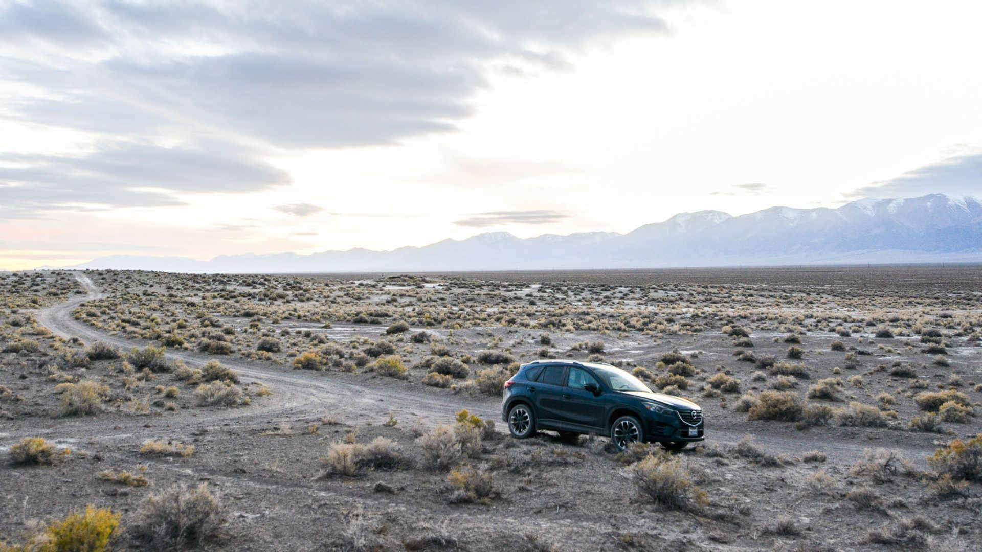


On Nevada’s Highway 50, once dubbed “America’s loneliest road”, travel writer Bill Fink goes in search of new friends. But the character that left the biggest impression? The bitumen itself.
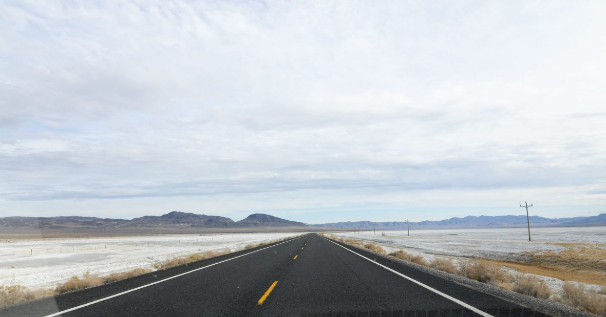
The car’s radio display spun around in circles vainly searching for a station, while my cellphone was stuck firmly on the ’X’ of no reception. The clouds covered the stars, and my view shrunk down to the hazy reach of my headlights. Though my speedometer said 90mph (145km/h), the passing landscape wasn’t changing—just flat, straight road bordered by a blur of dried-out shrubs.
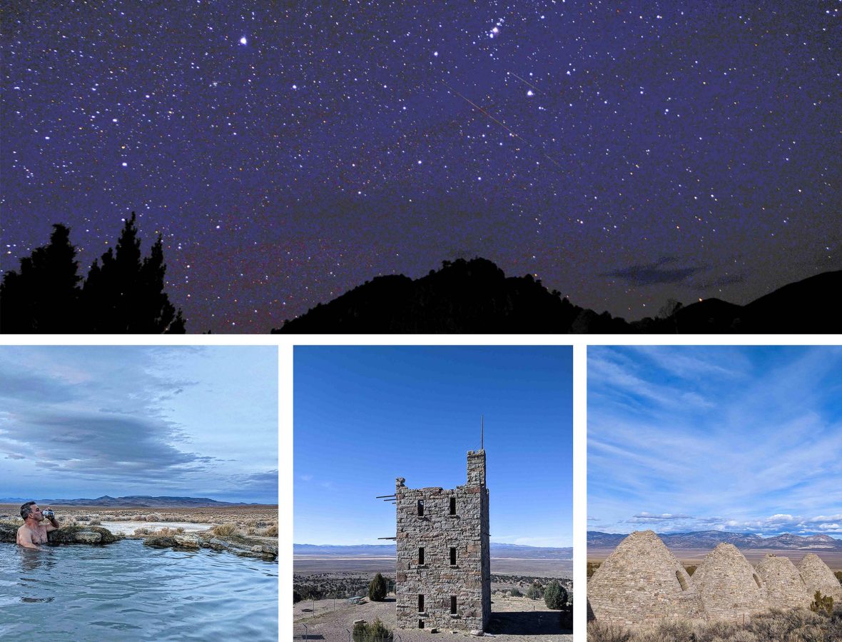
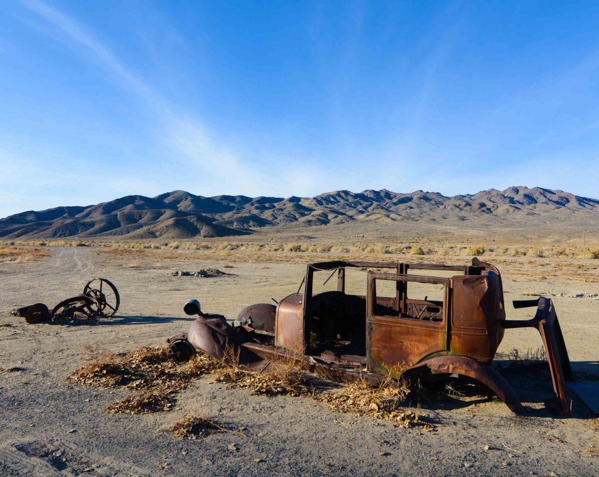
I had entered the darkest, semi-hallucinogenic segment of Nevada’s Highway 50, truly understanding just why, in 1986, Life Magazine declared this stretch of tarmac “America’s loneliest road.”
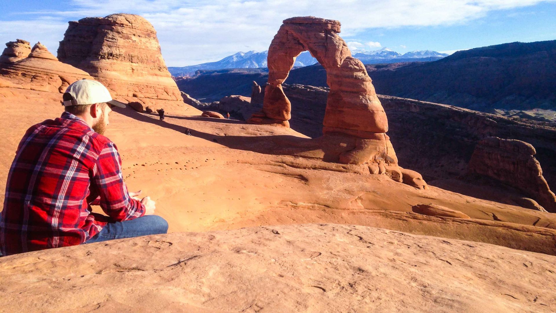
Highway 50 traverses the desolate center of Nevada, stretching about 400 miles (643 kilometers) from the state capital of Carson City east to the Utah border. Pony Express riders galloped down this route in the 1860s, and the Northern Nevada Railway linked miners along it in the 1890s. While the Lincoln Highway opened it to auto traffic in the 1920s, nowadays most cross-country traffic follows the wider and newer Interstate Highway 80 to the north, linking the hubs of Reno and Salt Lake City and beyond.
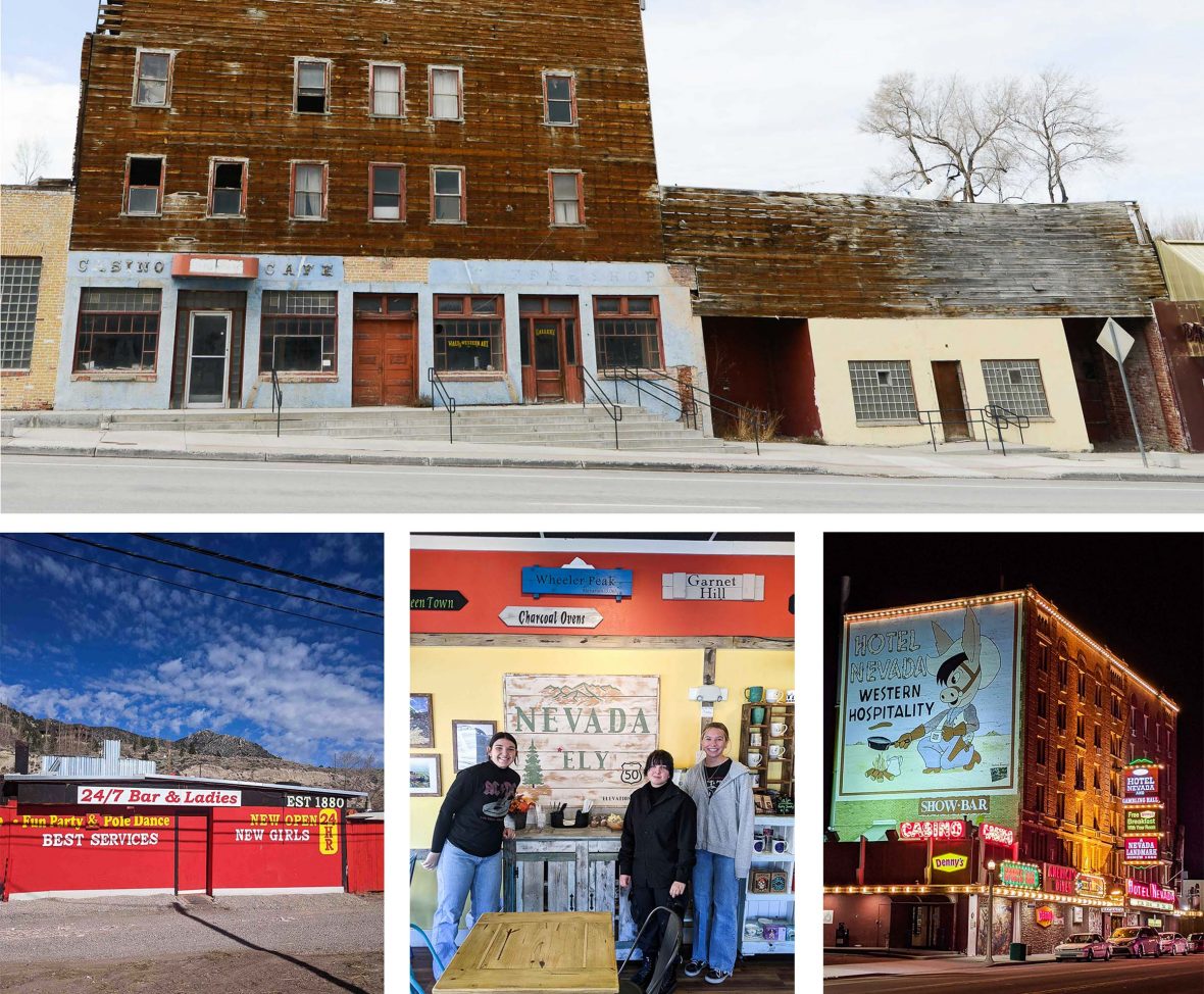
With its once-booming wild-west mining outposts crumbling into ghost towns, Life Magazine in their original article, quoted a local AAA motor club representative who said, “It’s totally empty. There are no points of interest. We don’t recommend it. We warn all motorists not to drive there unless they’re confident of their survival skills.”
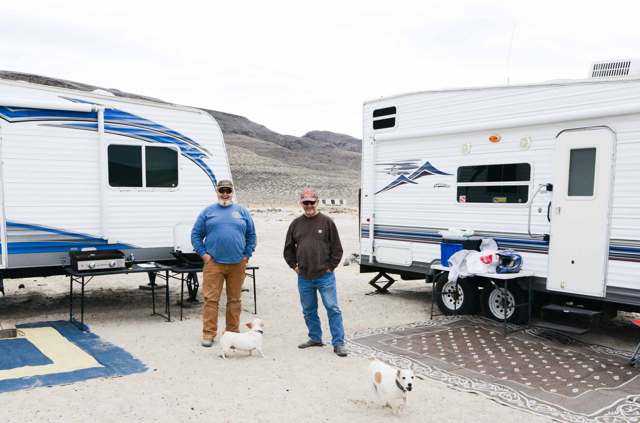
Confident of my survival skills (I brought a box of granola bars, some water, and a paper map), I embarked on a Highway 50 road trip to see if there were, in fact, any points of interest, also curious to find out just how lonely this road was—both for drivers and the people who live along it.