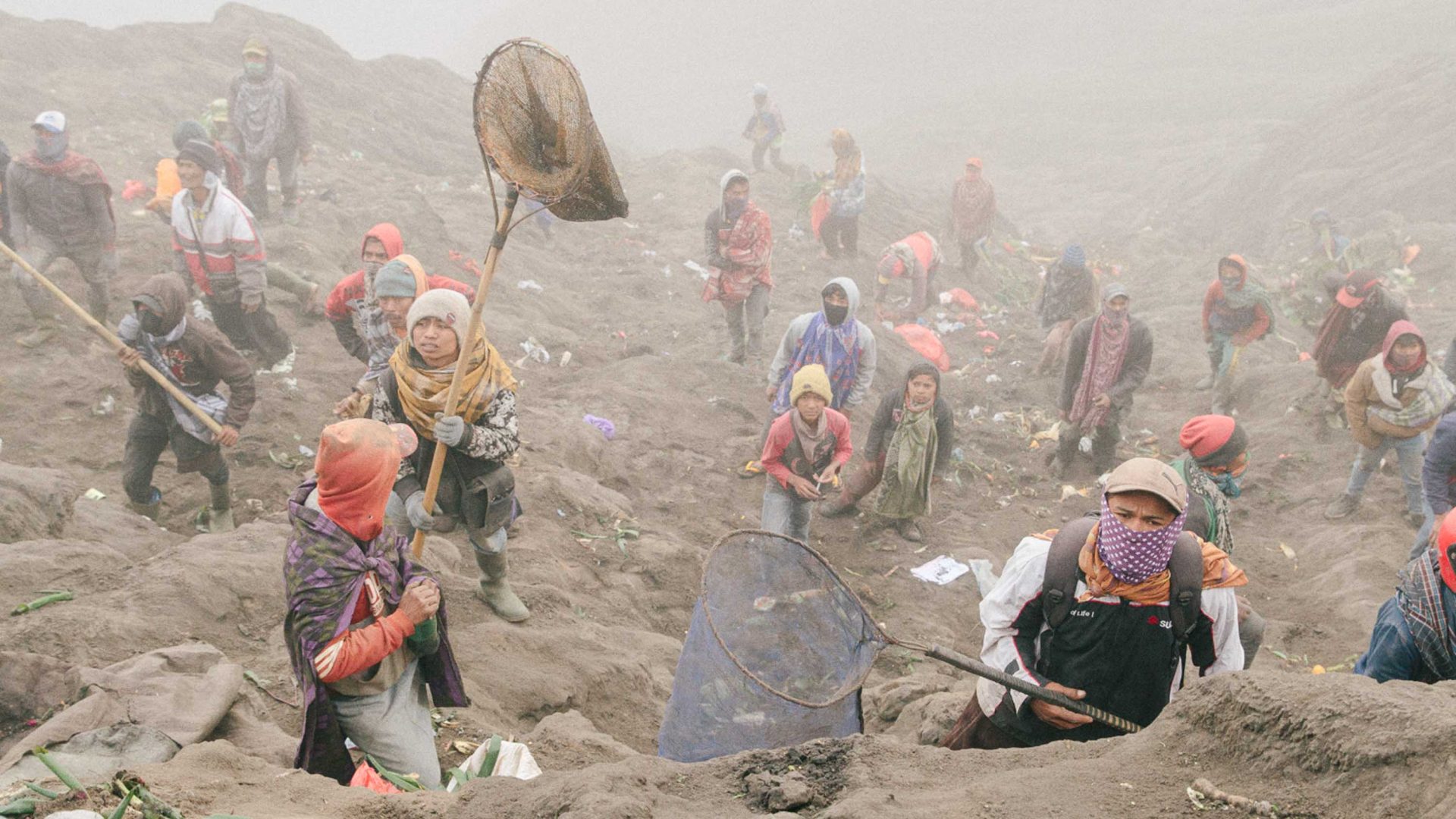
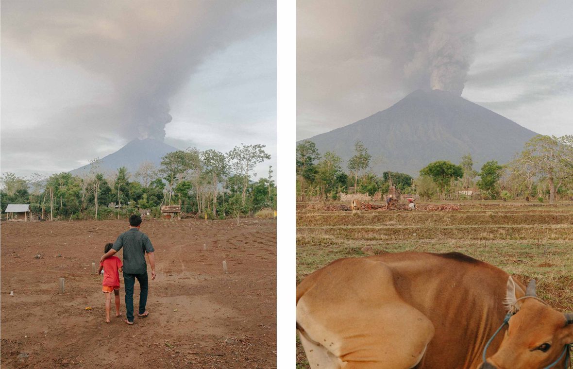
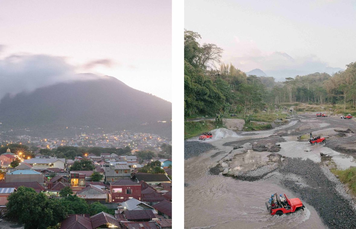
Few places on Earth are as volcanic as Indonesia, with about 130 active volcanoes threatening to wipe out everything in the nearby vicinity.
An estimated 175 million people live within 100 kilometers (60 miles) of a volcano, while almost nine million are within 10 kilometers (six miles). At this range, pyroclastic flows—which are explosive ‘clouds’ of rock, gas and ash—pose a lethal threat to 70 percent of Indonesia’s population living in areas vulnerable to these immense forces.
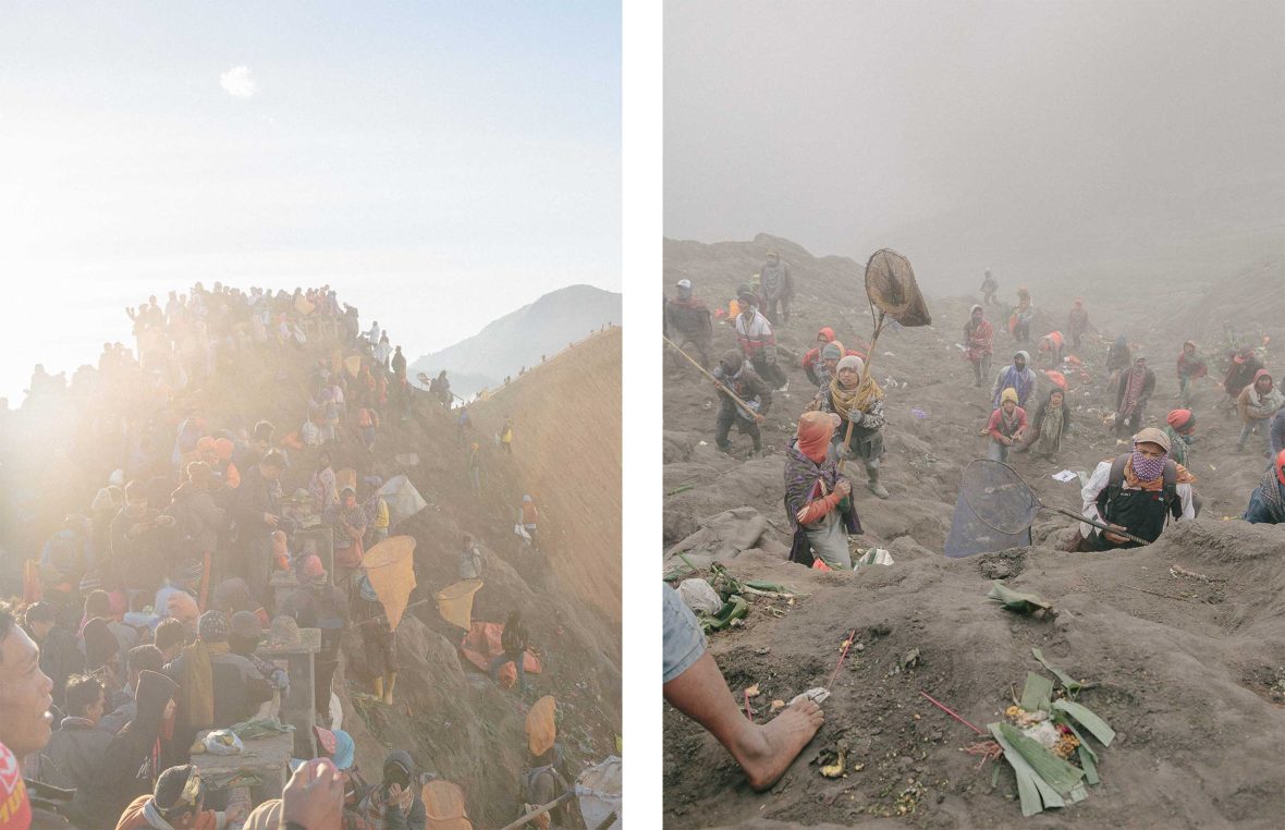
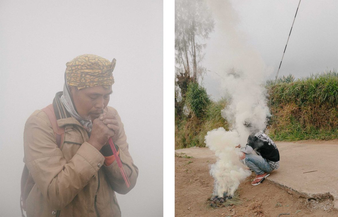
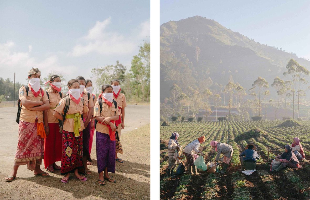
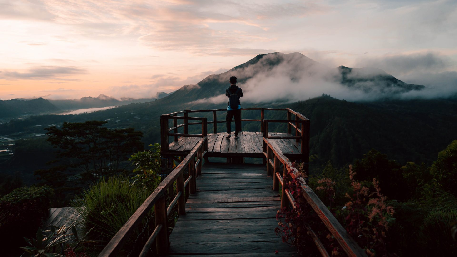
Indonesian documentary photographer Putu Sayoga has spent three years capturing how people live in the country’s most volcanic regions. Presented in his photo book, Living Under The Volcanoes, this journey began in November 2017 after Mount Agung—one of the two major volcanoes in Putu’s hometown of Bali—burst to life after more than 50 years of silence. It erupted five times in just over a week, causing more than 140,000 people to evacuate.
Working as a photographer for Getty Images, Sayoga initially focused his attention on this rare event. However, the more he learned about how life in rural communities revolves around volcanoes, the more he wanted to expand the scope of his work. Soon, he began researching the nature of fearsome mountains along the Ring of Fire, seeking a better understanding of how Indonesians live within their shadow.
