
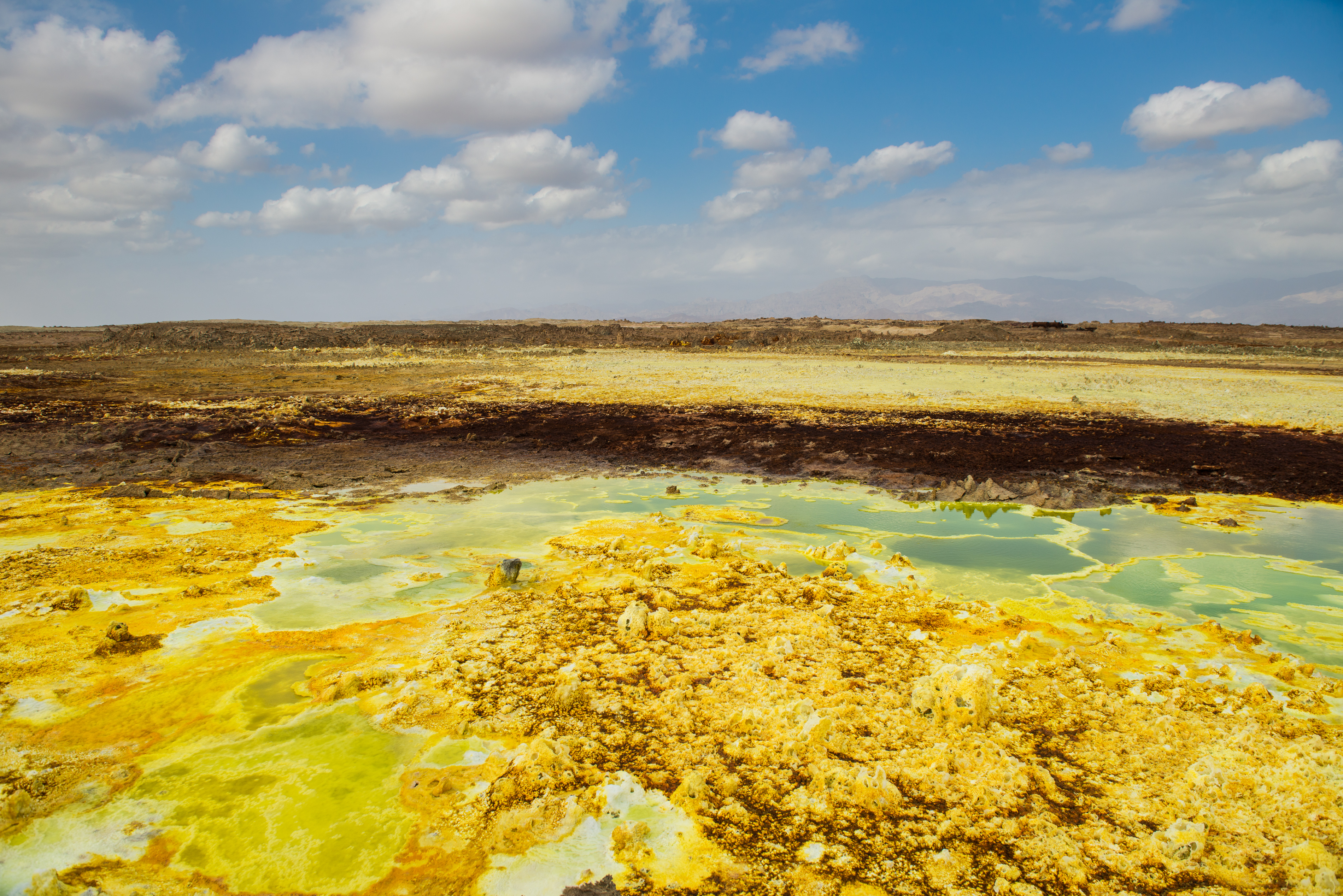
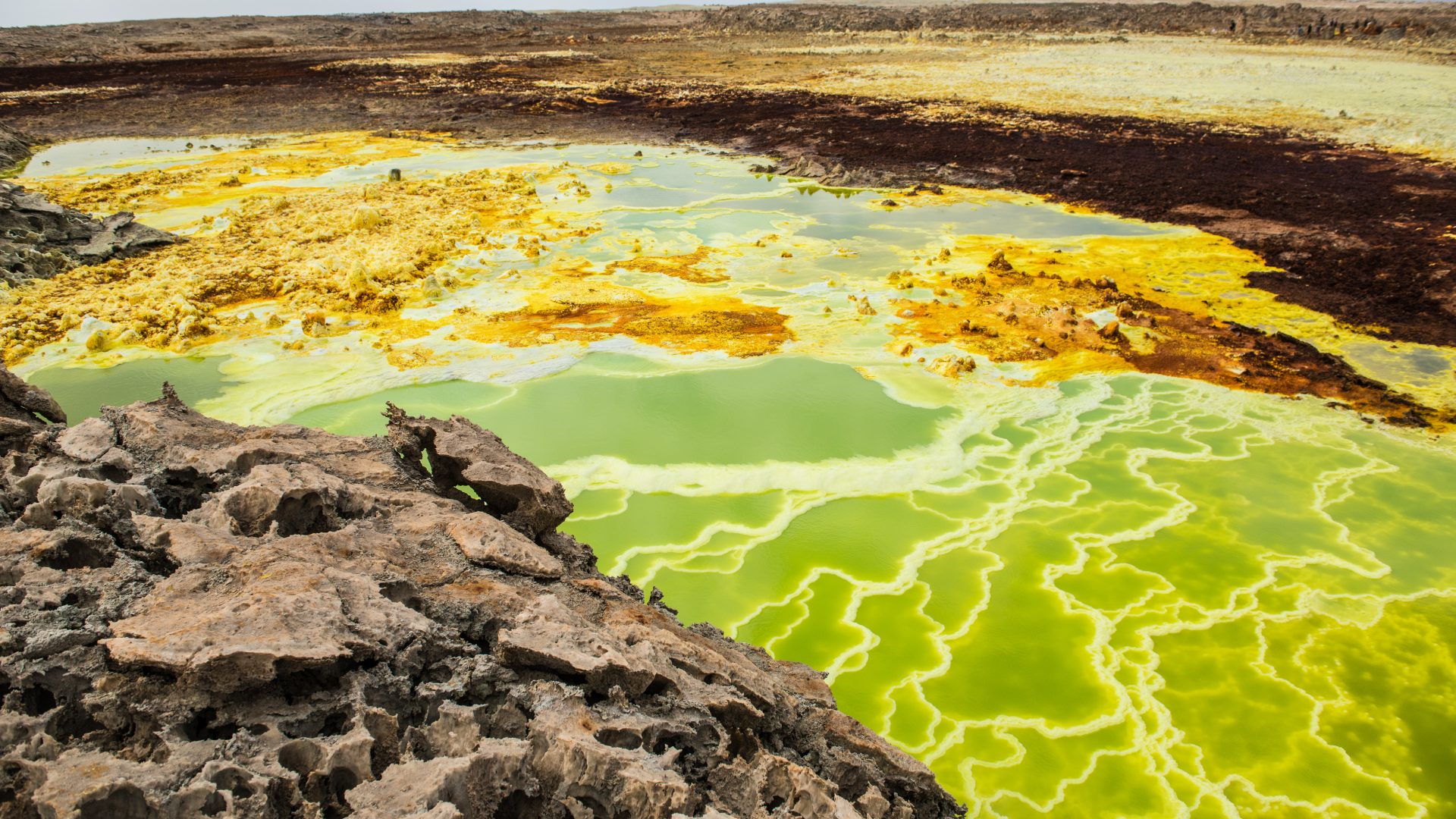
Photographer Nicola Bailey travels to hell and back to show us incredible images of Danakil Depression, an inferno of boiling otherworldly wonders in northern Ethiopia.
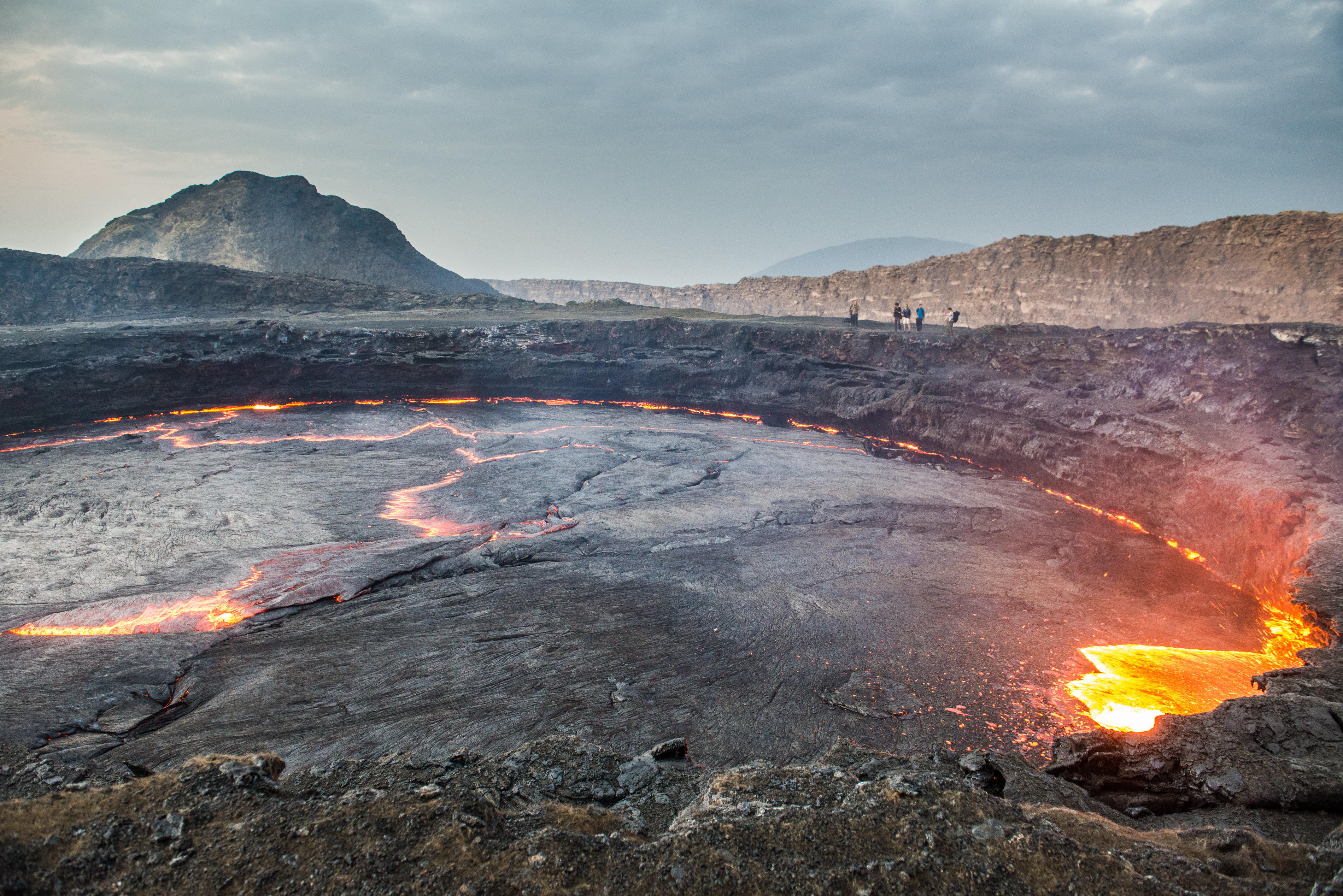
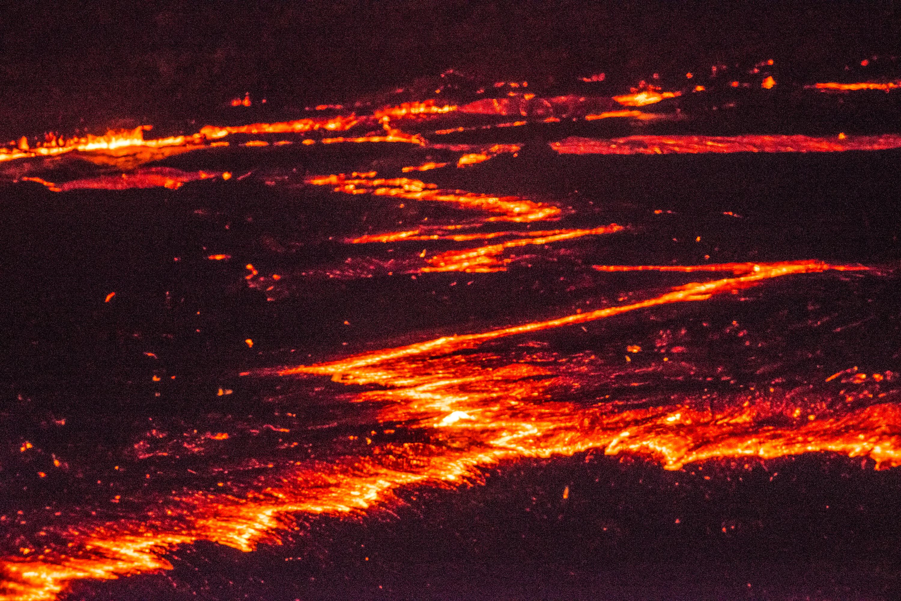
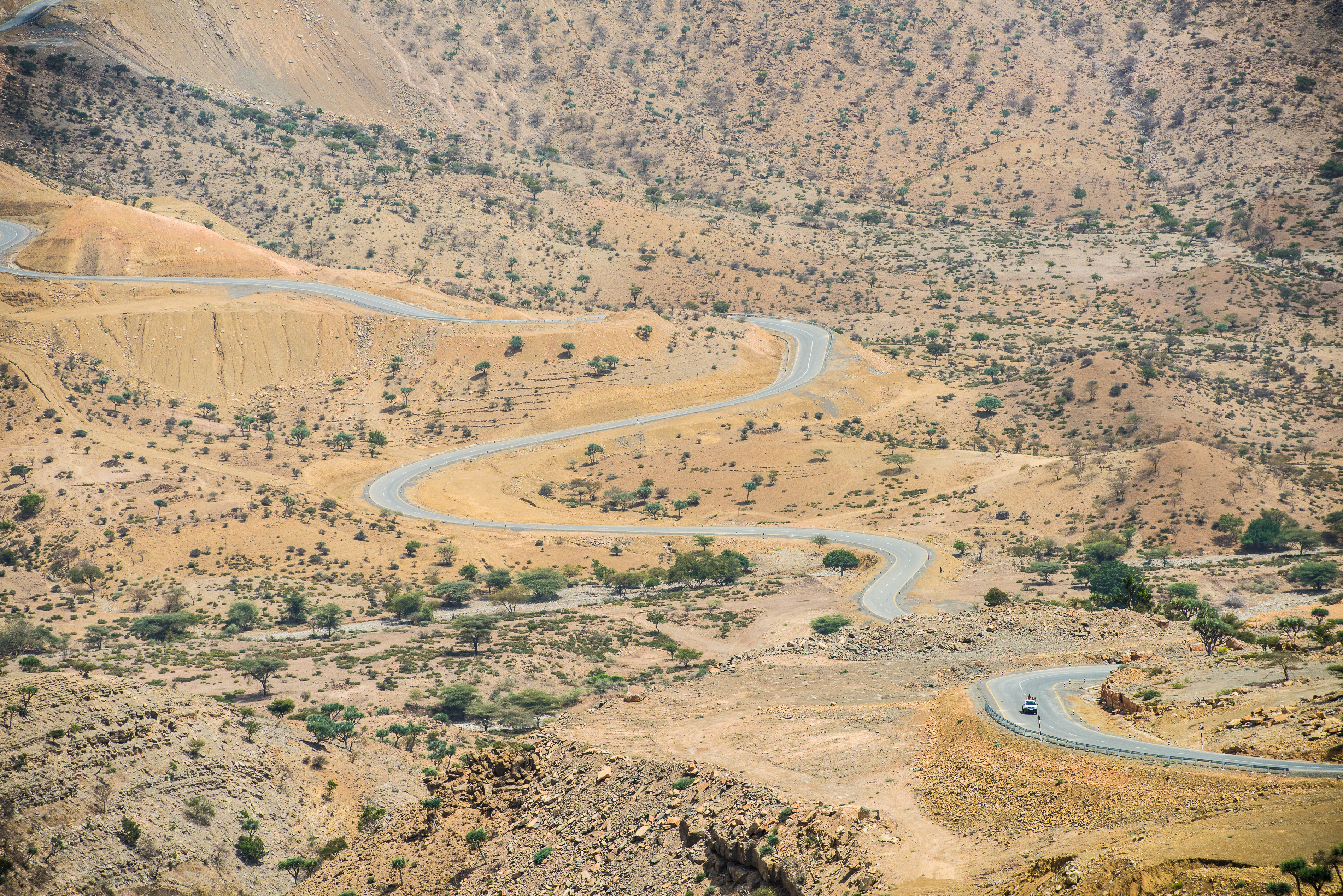
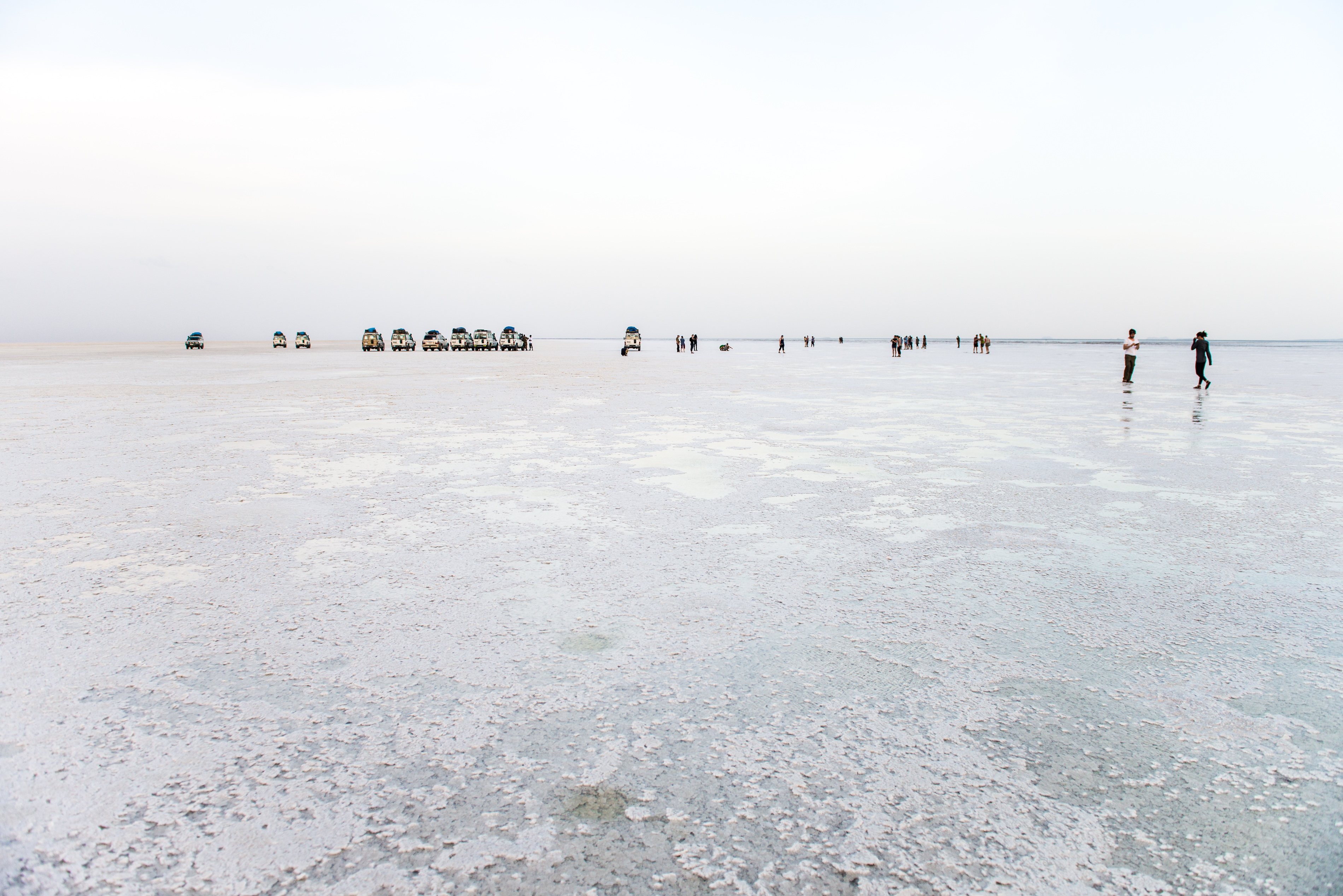
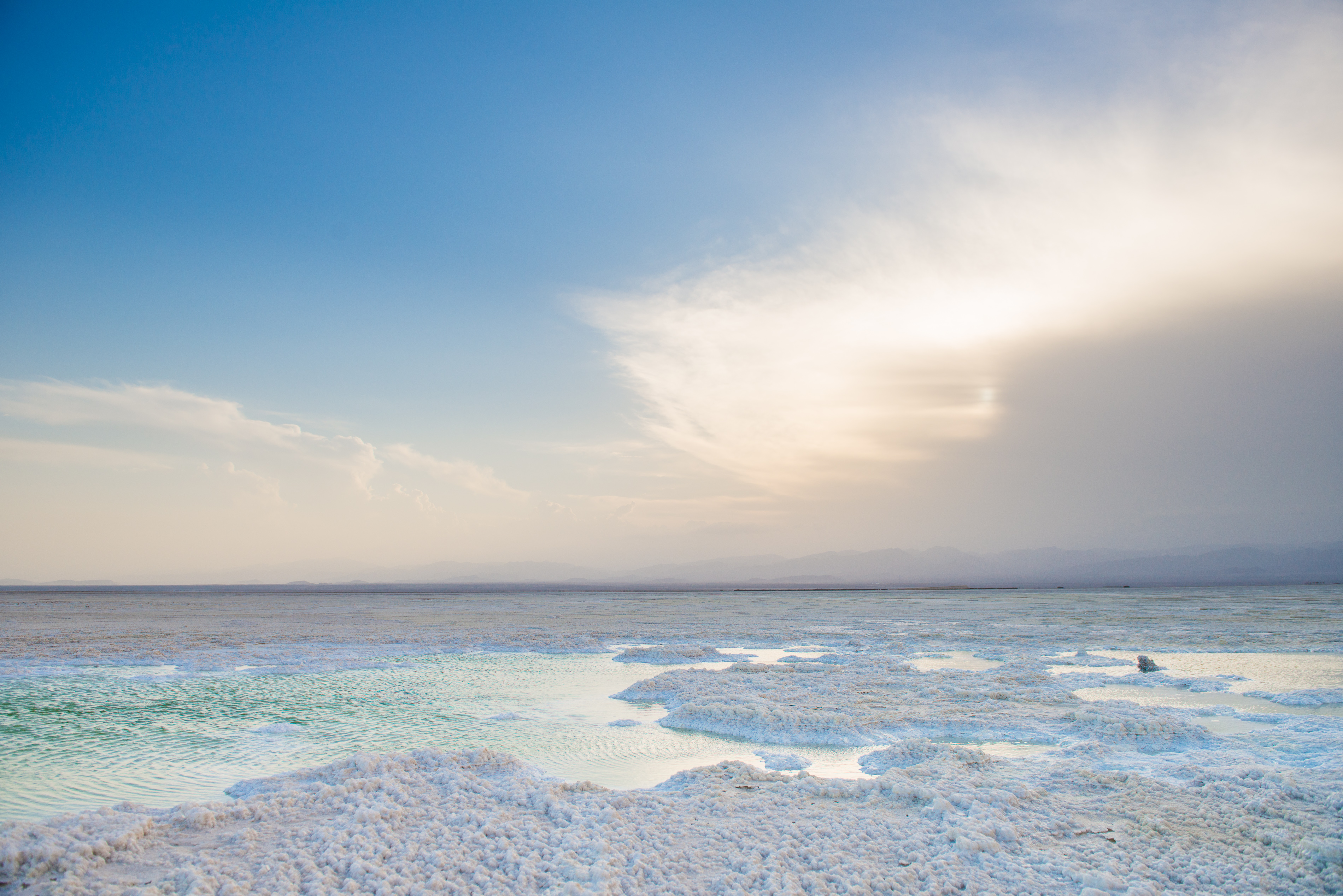
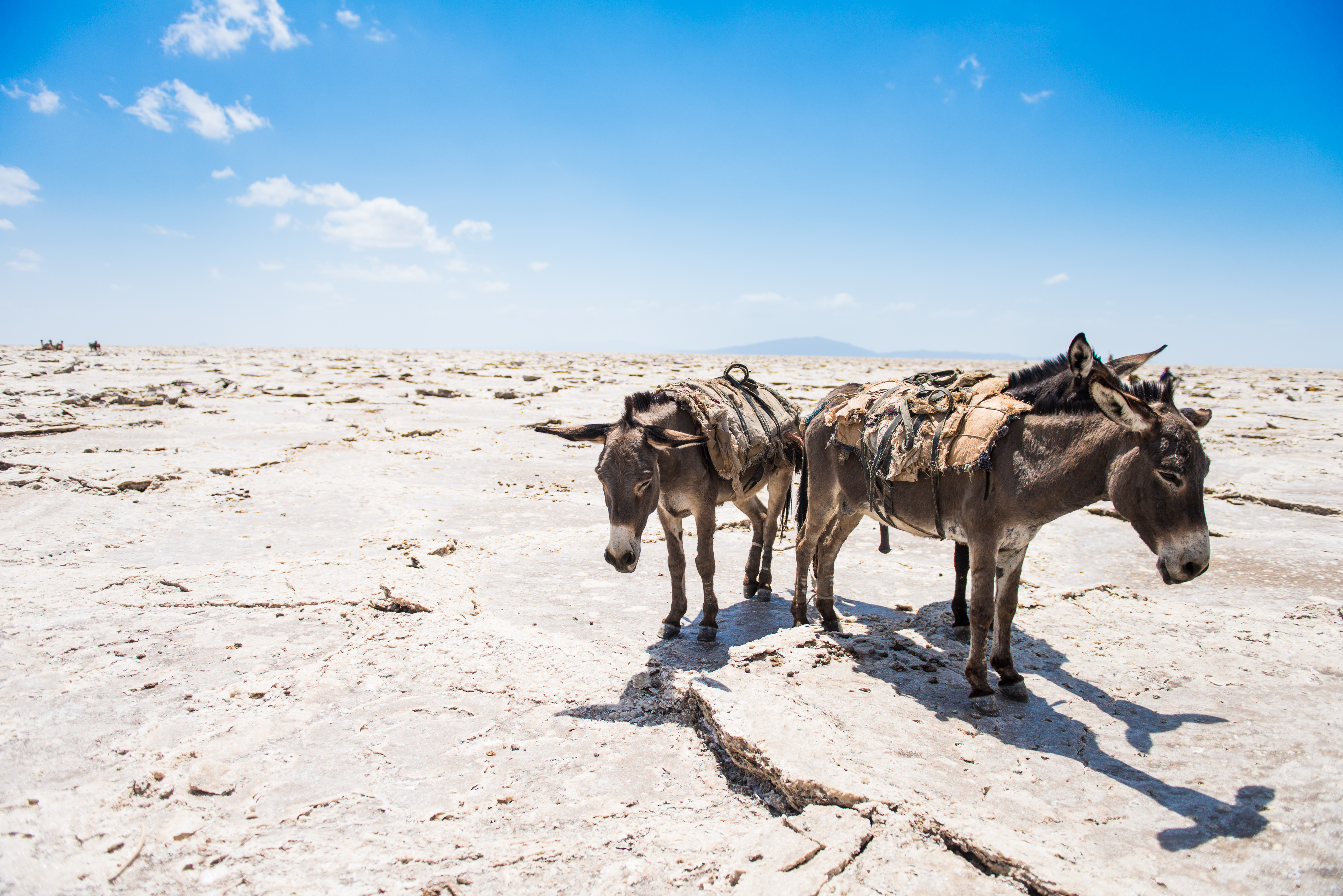
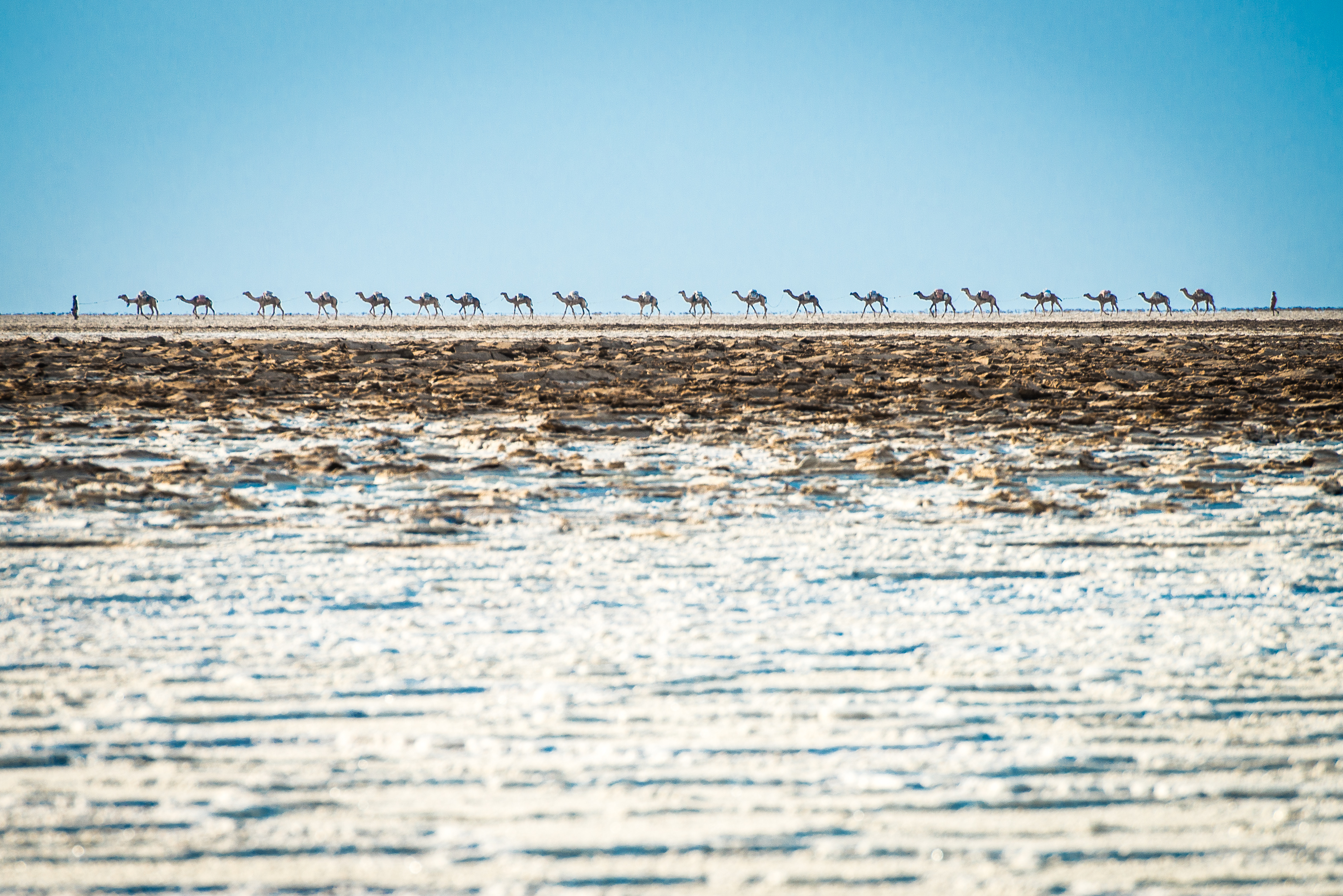
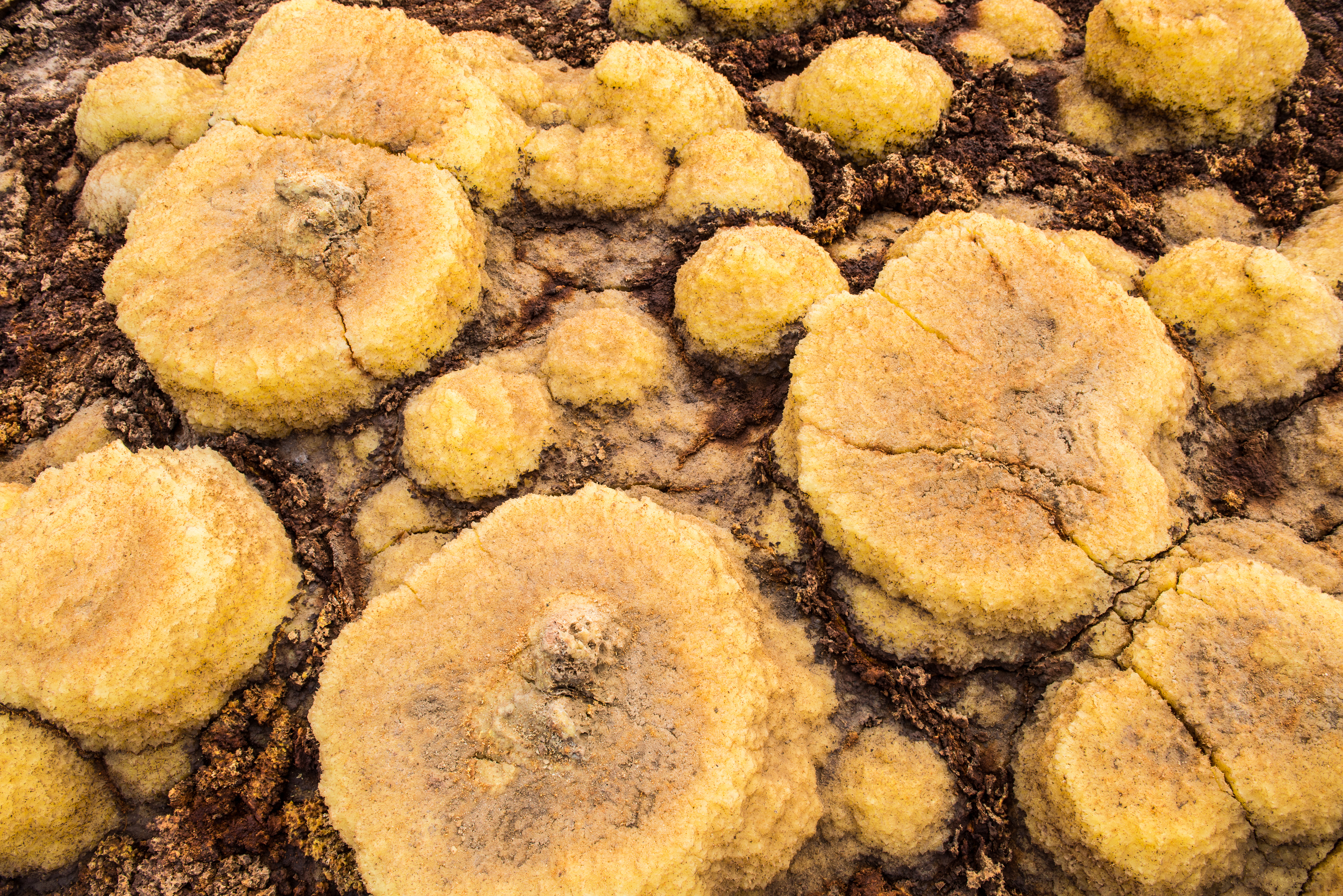
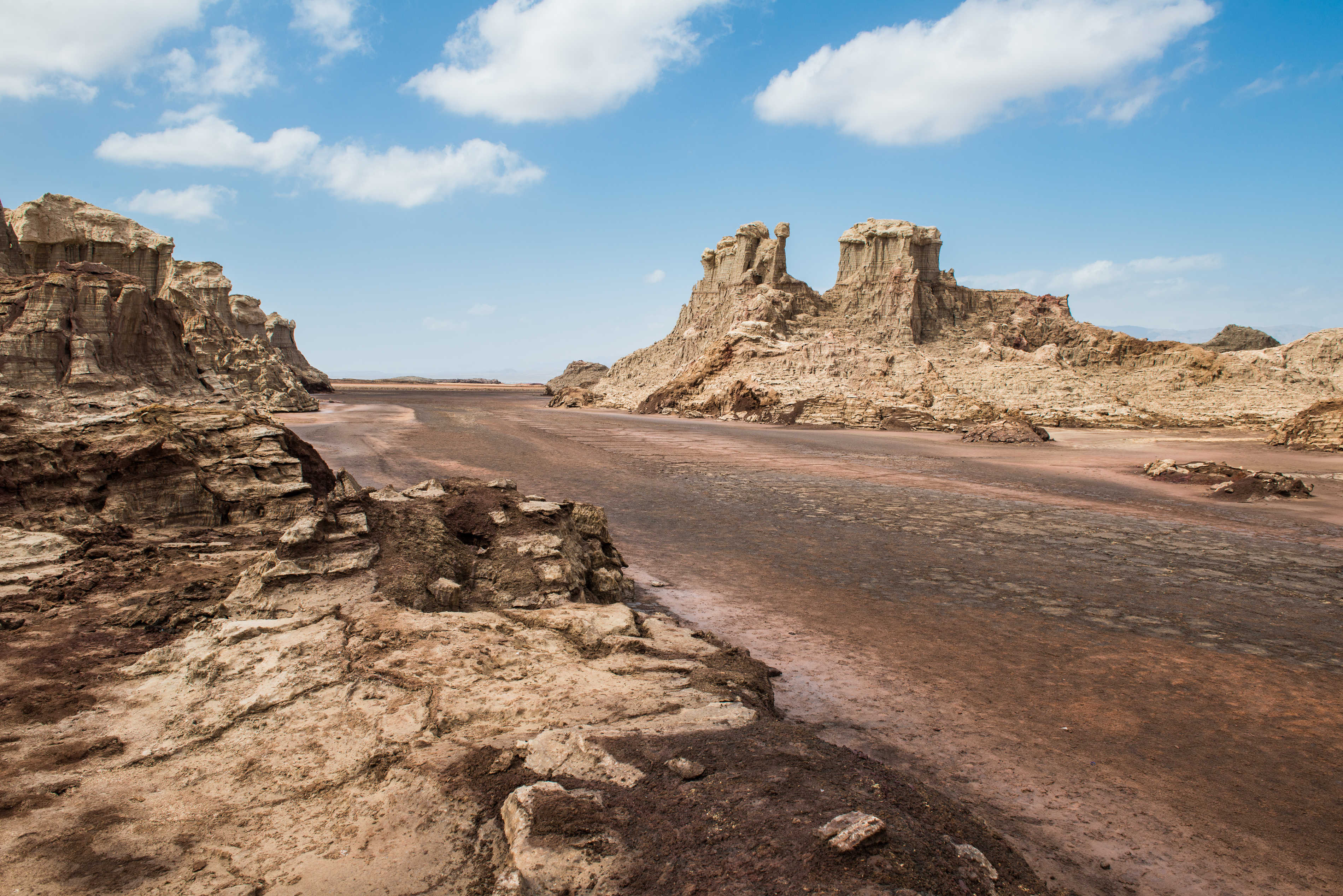
The hottest place on earth. That was one of the first things I learned about the Danakil Depression, a vast and surreal landscape in the northern part of Ethiopia, bordering Eritrea.
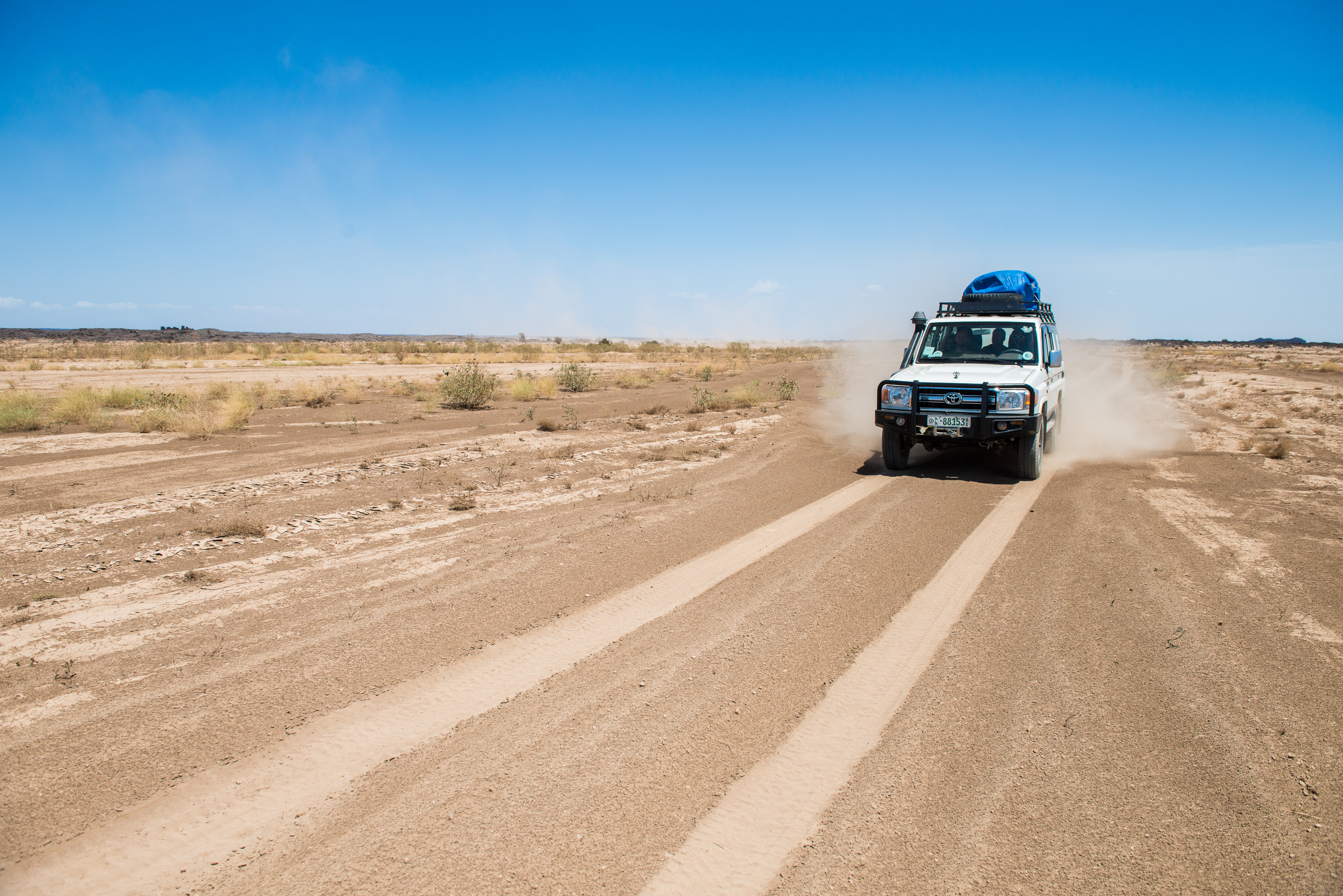
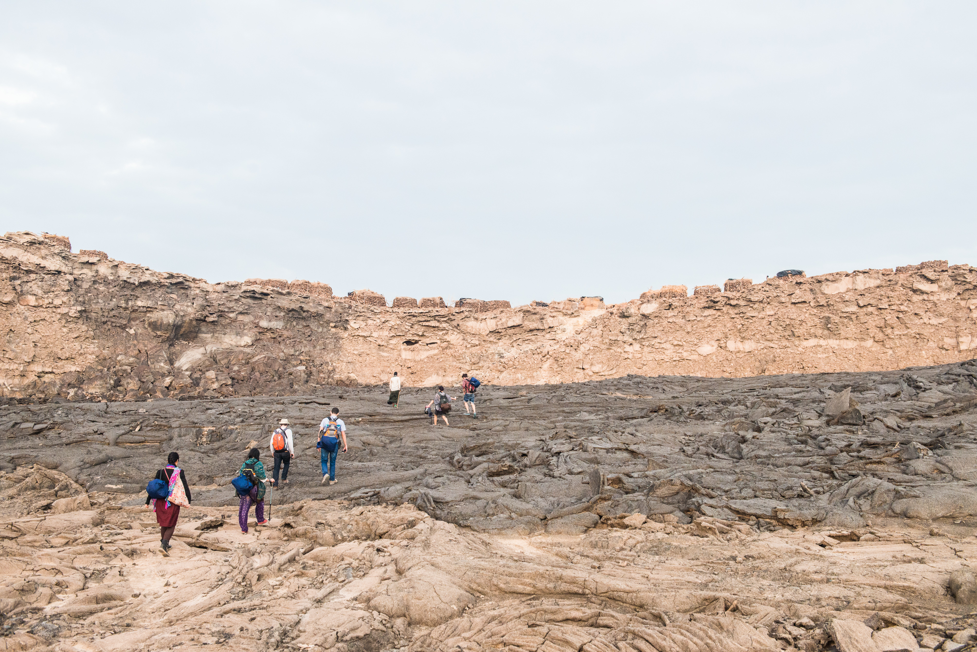
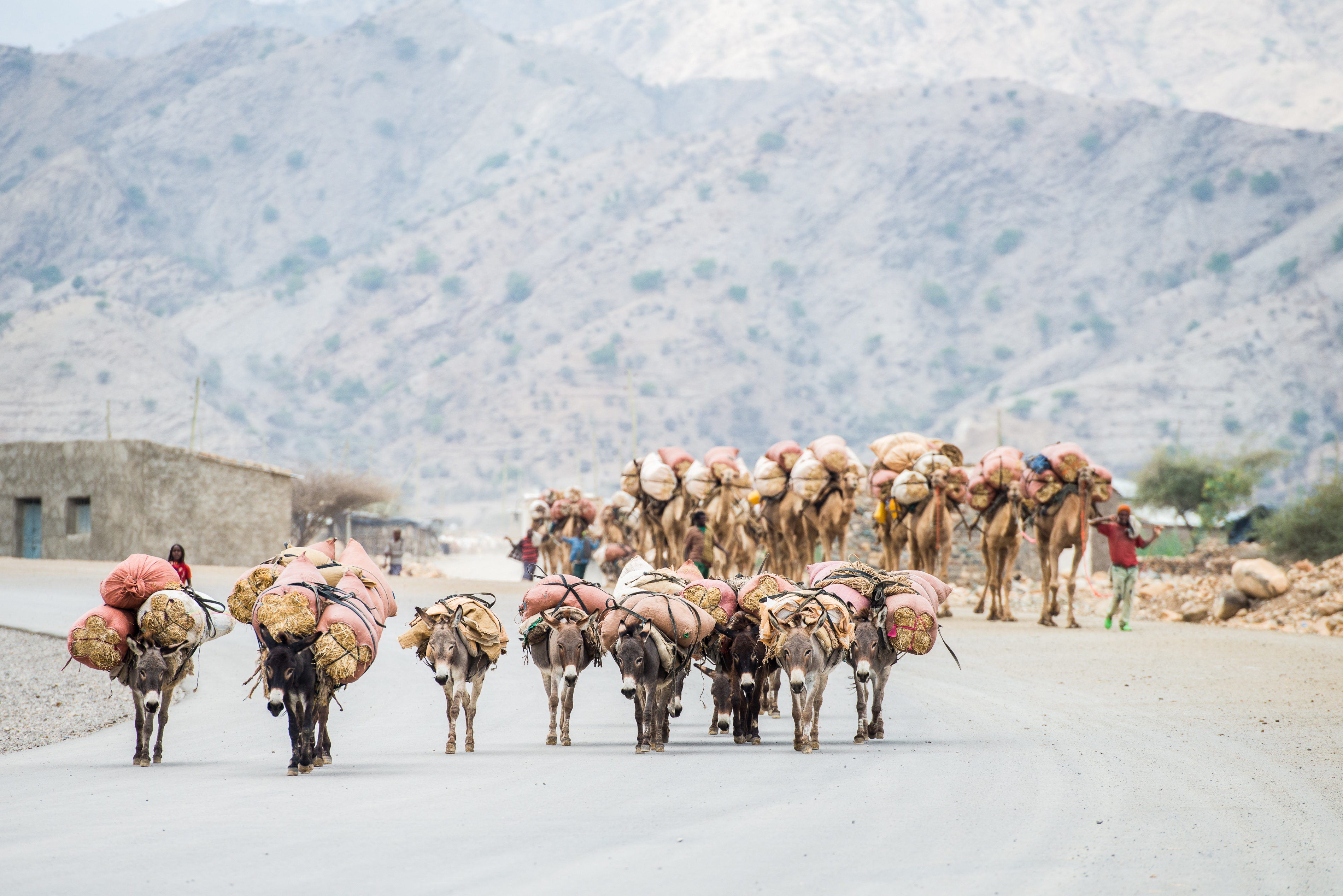
With a complexion better suited to an igloo than scorching sunshine, I should have been deterred. However, challenging trips have always attracted me and the more I read, the more I was drawn to this isolated and difficult terrain. The depression lies at the junction of three tectonic plates and at more than 100 meters below sea level, is also one of the lowest places on earth.
Owing to the unique geological features of the area, it came as no surprise to learn that it’s being studied to understand how life might exist on other planets.
In a trip of some four days, I traversed the Depression in a convoy of armored vehicles, and discovered an arid landscape scattered with camel caravans, dry desert mountains, active volcanoes, expansive salt plains and wildly neon sulphur lakes.
Photography by: Nicola Bailey
When I researched getting to the Depression, I discovered that solo travel wasn’t an option and that trips only departed once there was a group of enough travelers to form a convoy of 4WDs which would be accompanied by armed guards. Apparently this had become the norm some years back, after a group of tourists and scientists got taken hostage and some were killed. The vehicles also had to be equipped with gallons of water, in the event we broke down in the dry heat.
Photography by: Nicola Bailey
Our first day was spent driving through dramatic landscapes of solidified lava, rock and sand before we arrived at Dodom at the base of the continuously active volcano Ertra Ale. A further three hour hike took us to where we would spend the night, and our base for getting up close to the bubbling lava.
After dinner we hiked in the dark to the rim of Ertra Ale ( no safety rail here people!) which has one of the longest existing lava lakes in the world. The heat is intense though. My friend made the mistake of resting her backpack on one of the crevasses in the rock only to have its contents entirely melt away.
After hours of being hypnotized by the rich colors and spectacle of the lava, we returned to safer ground and spent the remaining hours before dawn sleeping under the stars.
Photography by: Nicola Bailey
With just a few hours of sleep, we rose in time to watch the sun rise as we explored the pits and craters in the light of day. The main pit-crater, 200 metres deep (655 feet) and 350 metres (1,150 feet) across, is sub-circular and three storied.
Photography by: Nicola Bailey
Despite the inhospitable terrain, the region is home to the Afar people, an ethnic minority in Ethiopia who have adapted to the conditions and traditionally raise goats, sheep and cattle in the desert. There were a few times during our trip when we stopped our vehicles to engage with some of the people. The children were particularly curious about us.
Photography by: Nicola Bailey
Continuing our journey, we left the volcanic rock behind for different terrain, also arid but with slightly more vegetation. Looking out the window of our vehicle, I often had the sensation that I was looking at a watercolor painting with the muted tones and splashes of color.
Photography by: Nicola Bailey
Camels are vital to the Afar people and were a common sight throughout our journey, occasionally accompanied by donkeys. Given the vast distances to travel and the trying climate, no animal is better suited to the conditions.
Photography by: Nicola Bailey
Continuing on our journey, we arrived at the salt plains which are created by the Awash River when it dries up. They stretch for miles and produce over 1.3 million tonnes of salt annually, close to 100% of the countries salt industry. In parts, the crust of the salt runs at close to 1000 metres (3280 feet) deep.
While our vehicles waited on the salt plains for us, we sought out stunning turquoise pools and enjoyed the sun setting over the white landscape.
Photography by: Nicola Bailey
For the Afar and the Tigrayan people, salt is like gold, and they come to mine the plains for 10 months of the year. It isn’t an easy task though, with scorching daytime temperatures of around 50 degrees Celsius (122 Fahrenheit) daily, and long hours cutting salt bricks with an axe. For each 4kg (9lb) brick of salt they produce, they can earn the equivalent of about 5 cents and each camel can carry about 30 bricks.
Photography by: Nicola Bailey
Once they have managed to load up their camels, it’s a walk of up to a week to get to the town where they can offload them for truck transport and sale. To get to that point they will walk some 25 km each day across vast plains with only bread and water for themselves, no water for long stretches for the camels, and the risk of bandits along the way.
Photography by: Nicola Bailey
Eventually our trip took us to the Dallol sulphur springs, one of the things I had most looked forward to for the surreal shapes and colors dominating the landscape, formed by the volcanic activity below the earth. Scientists in this area have been looking at how extremophillic microbes here survive, as this could give them vital information about life on other planets.
Photography by: Nicola Bailey
As we headed back to Mekele on the last day – the start and end point of the trip – we paused in yet another lunar inspired valley to hike for a couple of hours through a series of rocks and caves.
Photography by: Nicola Bailey
With all the otherworldly scenery I’d witnessed over the past few days, I was ready to close my eyes for a minute and relax. On opening them I found we’d picked up a hitchhiker en route who was clinging to the side of our vehicle. As I thought of the hardship of life in this region and of the distances to travel to get anywhere, I wasn’t surprised at all – I know I certainly would have done the same.