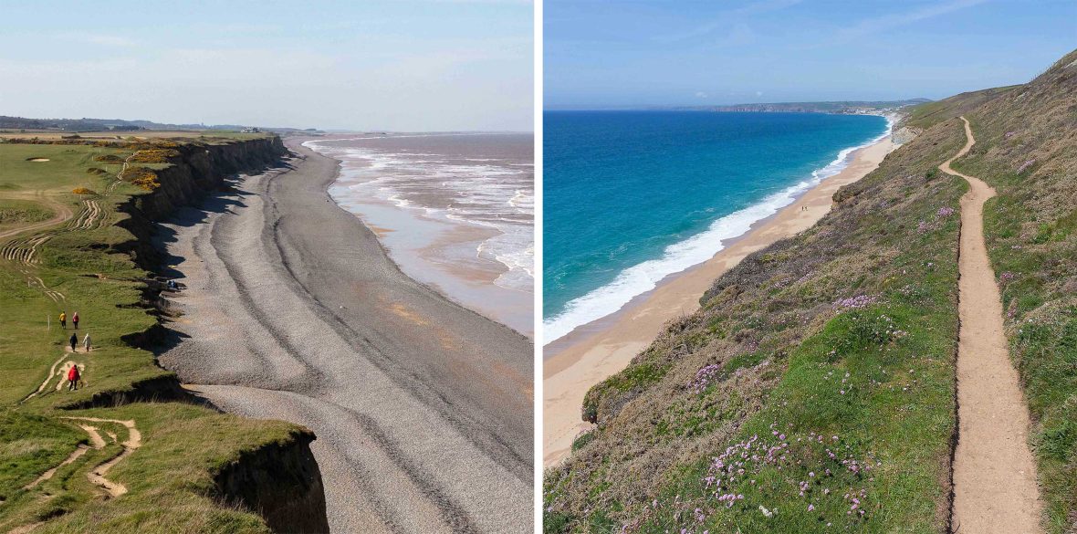
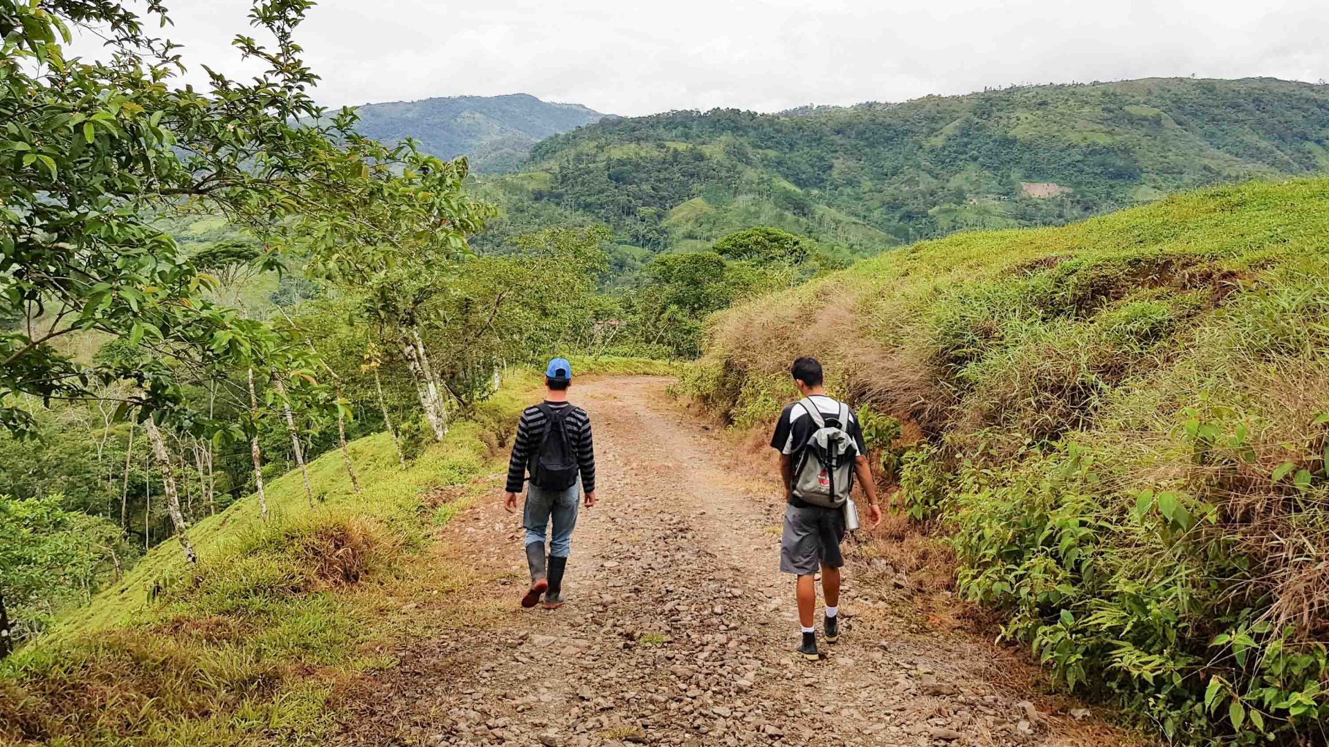
It looked more like twilight the first morning I stepped out, somewhere along the South West Coast Path in Dorset, southwest England. The sea was a flat, metallic gray, and the wind bore a familiar salty tang. I’d started early to ‘beat the crowds’, but the sea and sky sapped all urgency. The path lulled me into its own, slow rhythm.
Weeks later, that rhythm stayed as the landscape changed further southwest: Now, the rolling greens of East Devon, the sharper edges of South Devon, and finally, the rugged regions of Cornwall. Walking the coast in fragments, I understood one thing: A place I thought I knew was far stranger, wilder, and more expansive when encountered on foot.
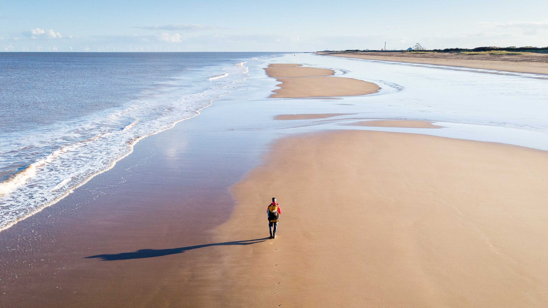
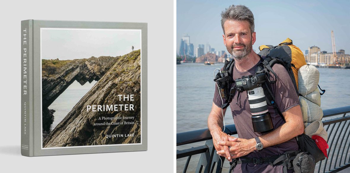
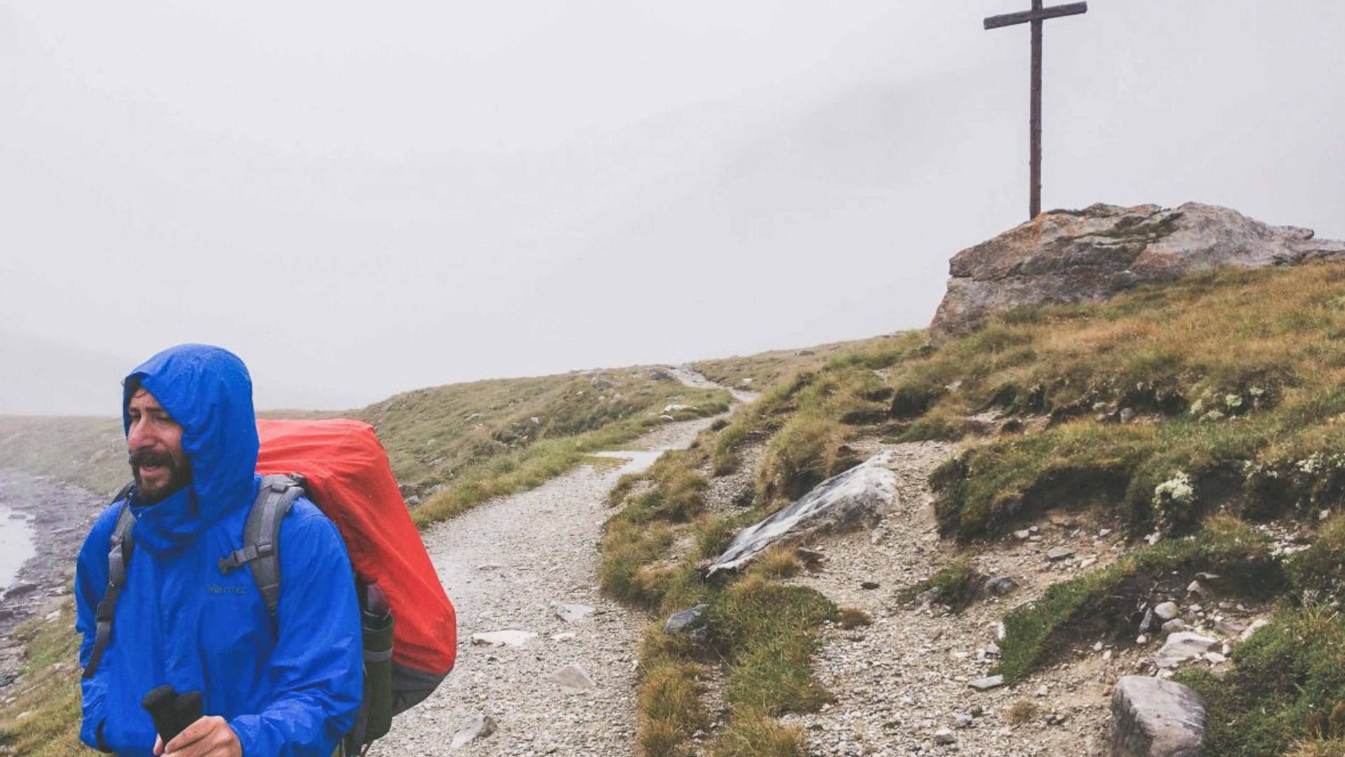
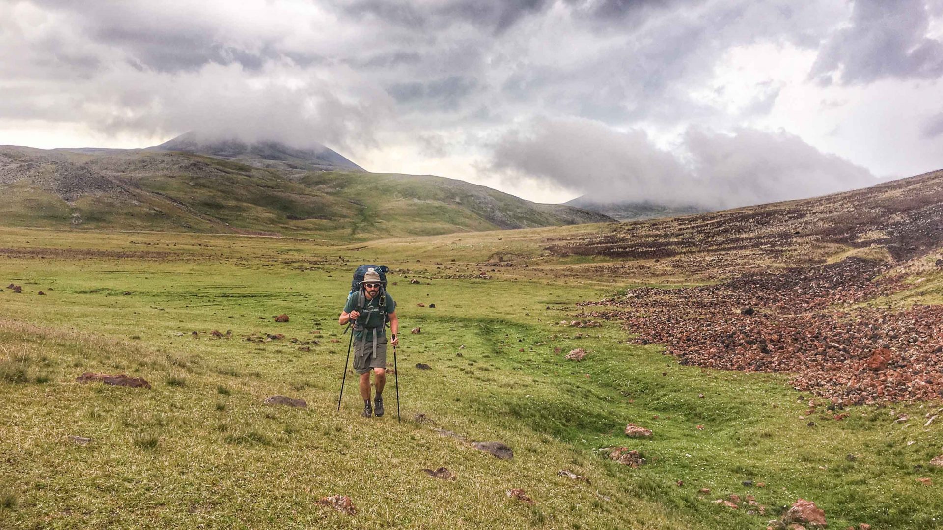
British photographer Quintin Lake has spent five years pursuing this slow unravelling of a country. His project, The Perimeter: A Photographic Journey around the Coast of Britain, led him to walk more than 6,835 miles (11,000 kilometers) around Britain’s coastline. He didn’t walk continuously; he did it in sections—returning, leaving, and returning again—until he had traced the outline of the island entirely by foot. The journey started on 17th April 2015 and was completed on 15th September 2020.
His timing feels prescient. In March 2026, England opened the King Charles III England Coast Path, a 2,700-mile (4,500-kilometer) trail—the longest managed coastal walking route in the world, making the entire English coastline legally walkable, stitching together cliffs, beaches, estuaries, and towns.