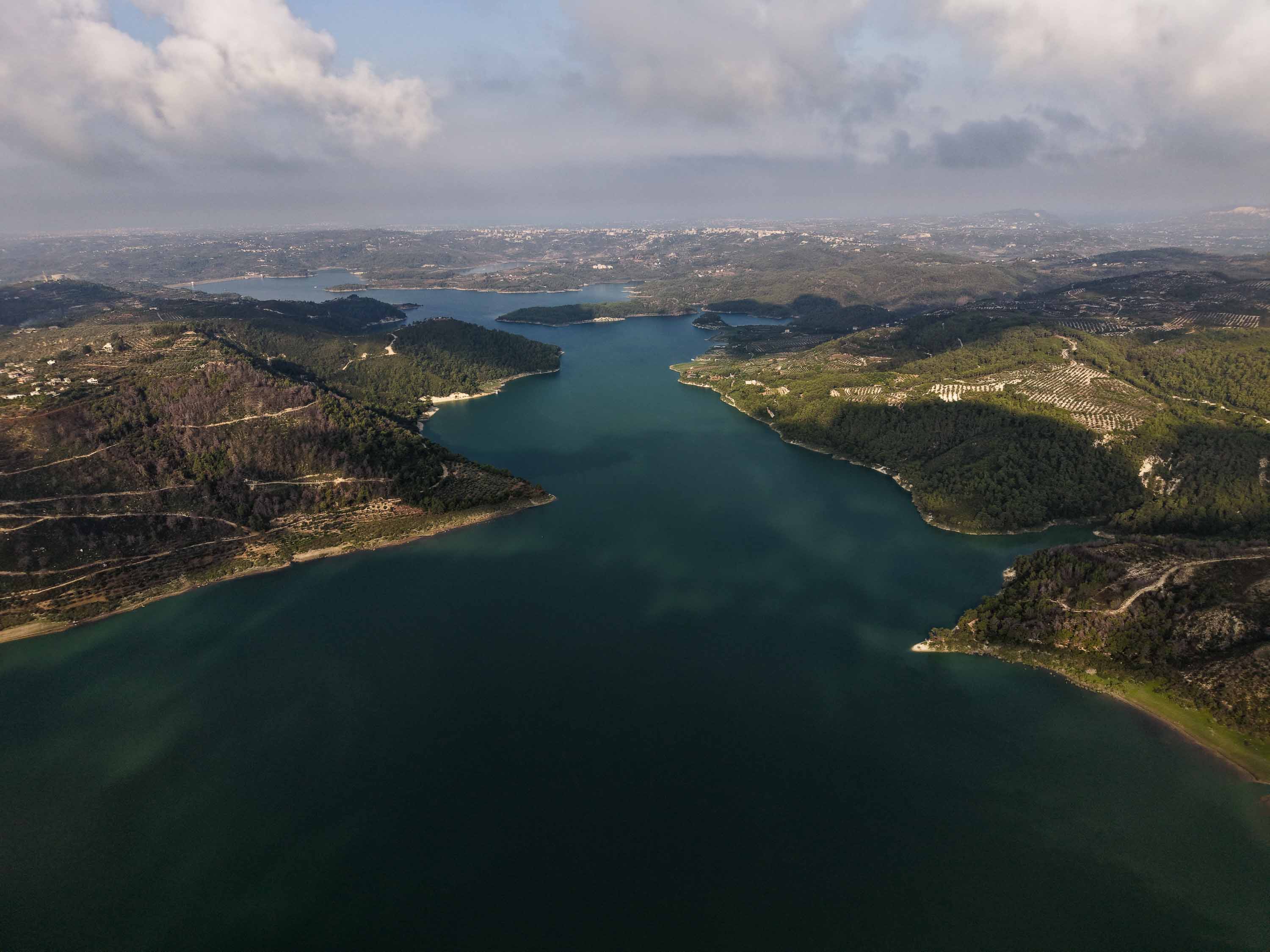
Pines stretch into the distance. A green mountain rises through the morning haze, while below, a vast sheet of water catches the first light. It’s the kind of landscape that makes Syrians scrolling through Instagram stop and ask: “Where is this? What country is this?”
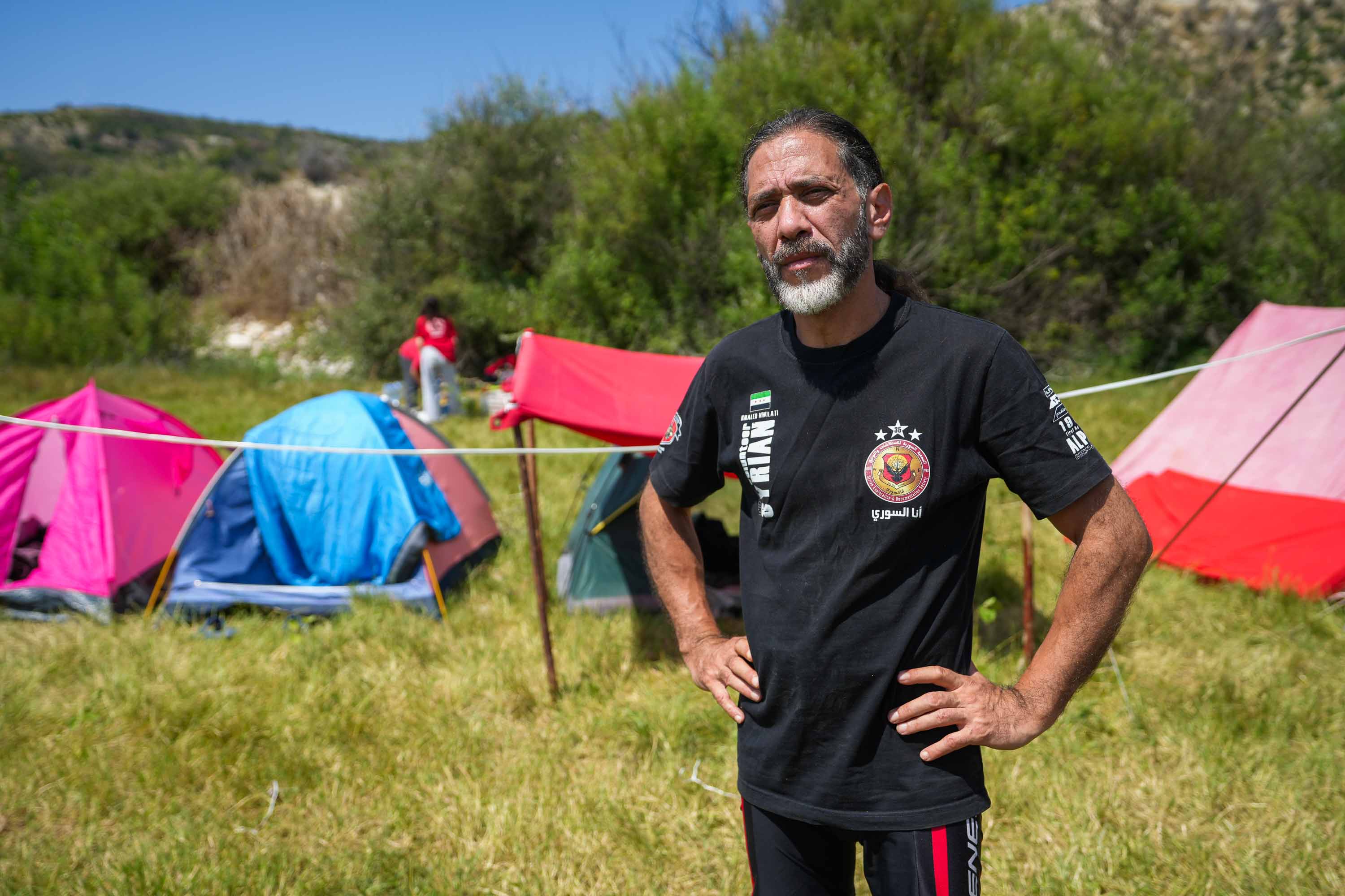
Khaled Nwilati is used to answering. “Wallah, it’s in Syria, wallah,” he swears. Then comes the frustration. “They don’t know their land. They don’t know their country. Knowing your homeland is the first step toward belonging to it.”
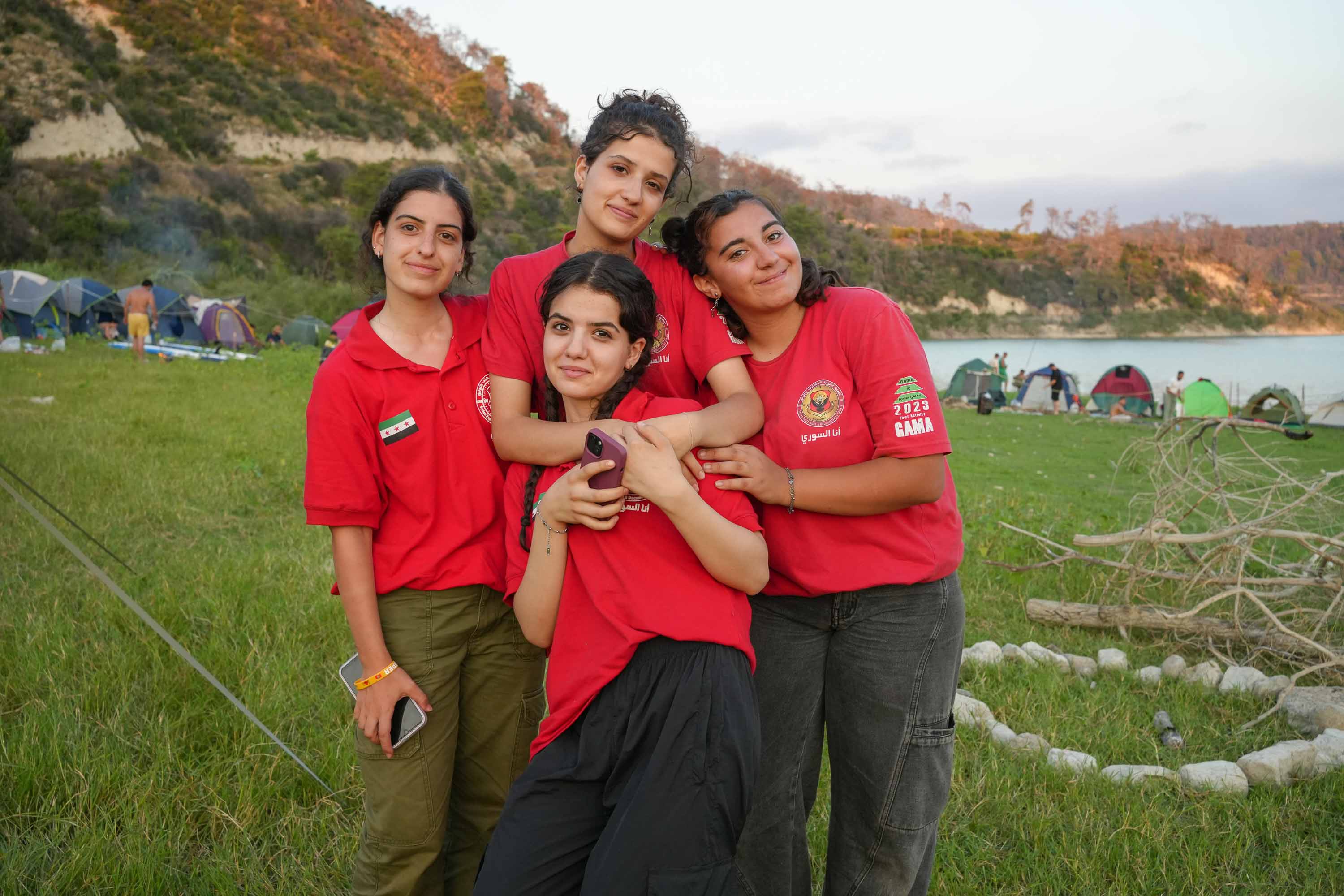
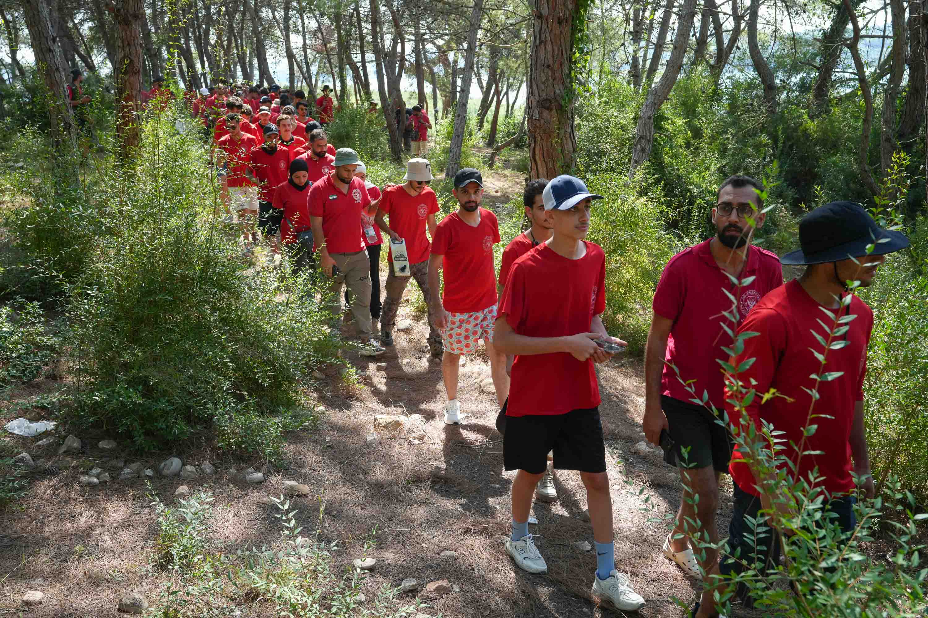
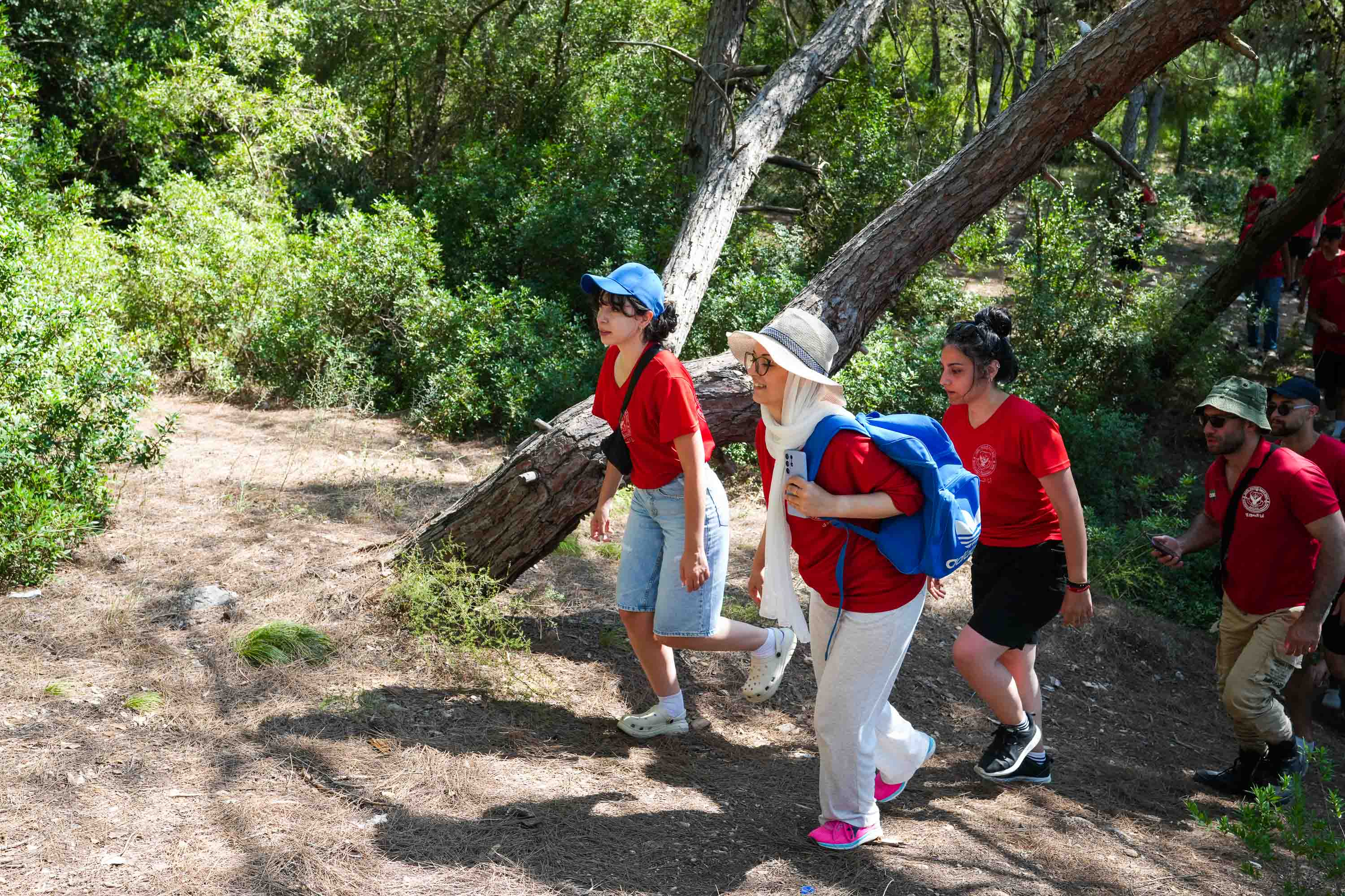
Nwilati, now 55 years old, grew up camping. His family is from Damascus, and he started joining his father on Scout outings at the age of three. Years later, while hiking with friends, he accidentally wandered into a military zone and ran into trouble with security forces. The experience prompted him to create Me the Syrian, an outdoor community that’s introduced Syrians to hiking, camping and exploration across the country since the late 1980s. Under Bashar al-Assad’s dictatorship, registration initially served a crucial, practical purpose: Obtaining permission to travel and access remote areas.
Also known as the Syrian Exploration and Documentation Society, the group documents Syria’s landscapes, wildlife and historical heritage, including places many Syrians have never had the chance to see—from the Roman and Byzantine ruins of Masiqa in the southern province of Deraa, to the volcanic caves of Sweida further south—and shares its discoveries with 76,500 followers on Instagram.
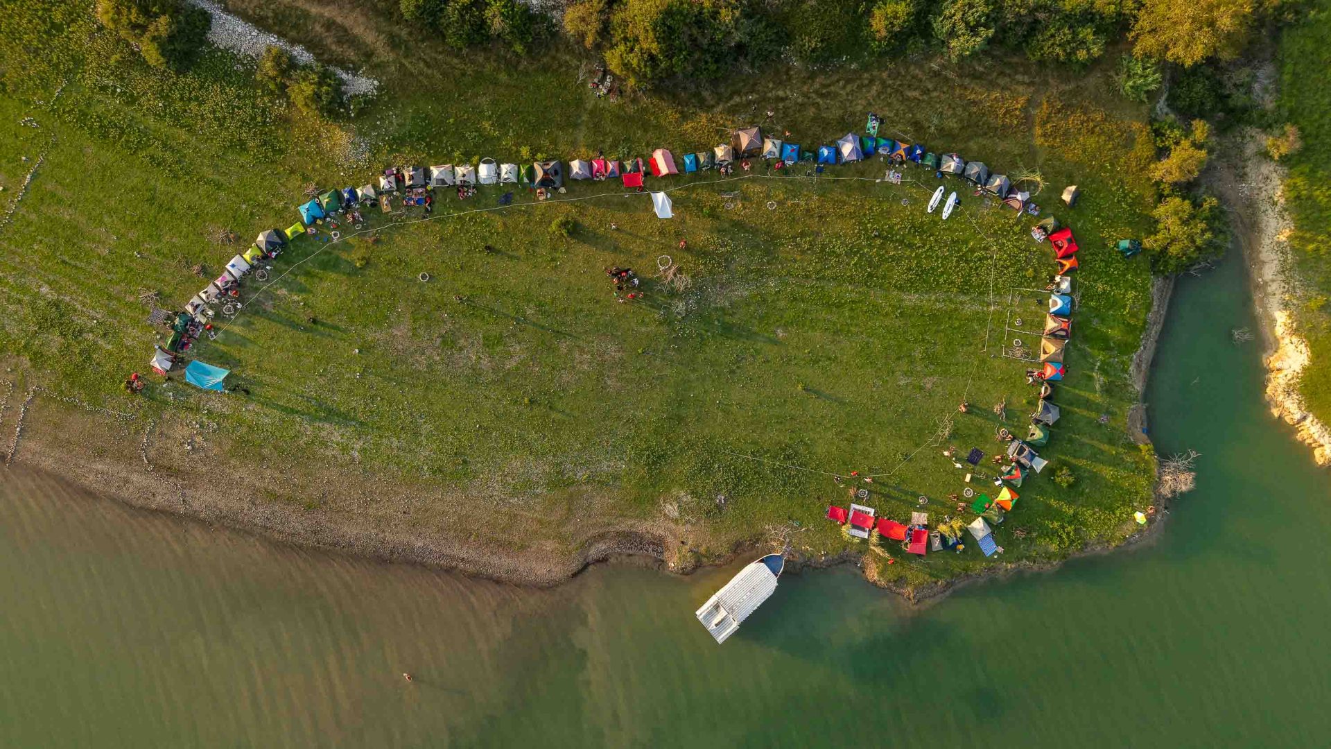
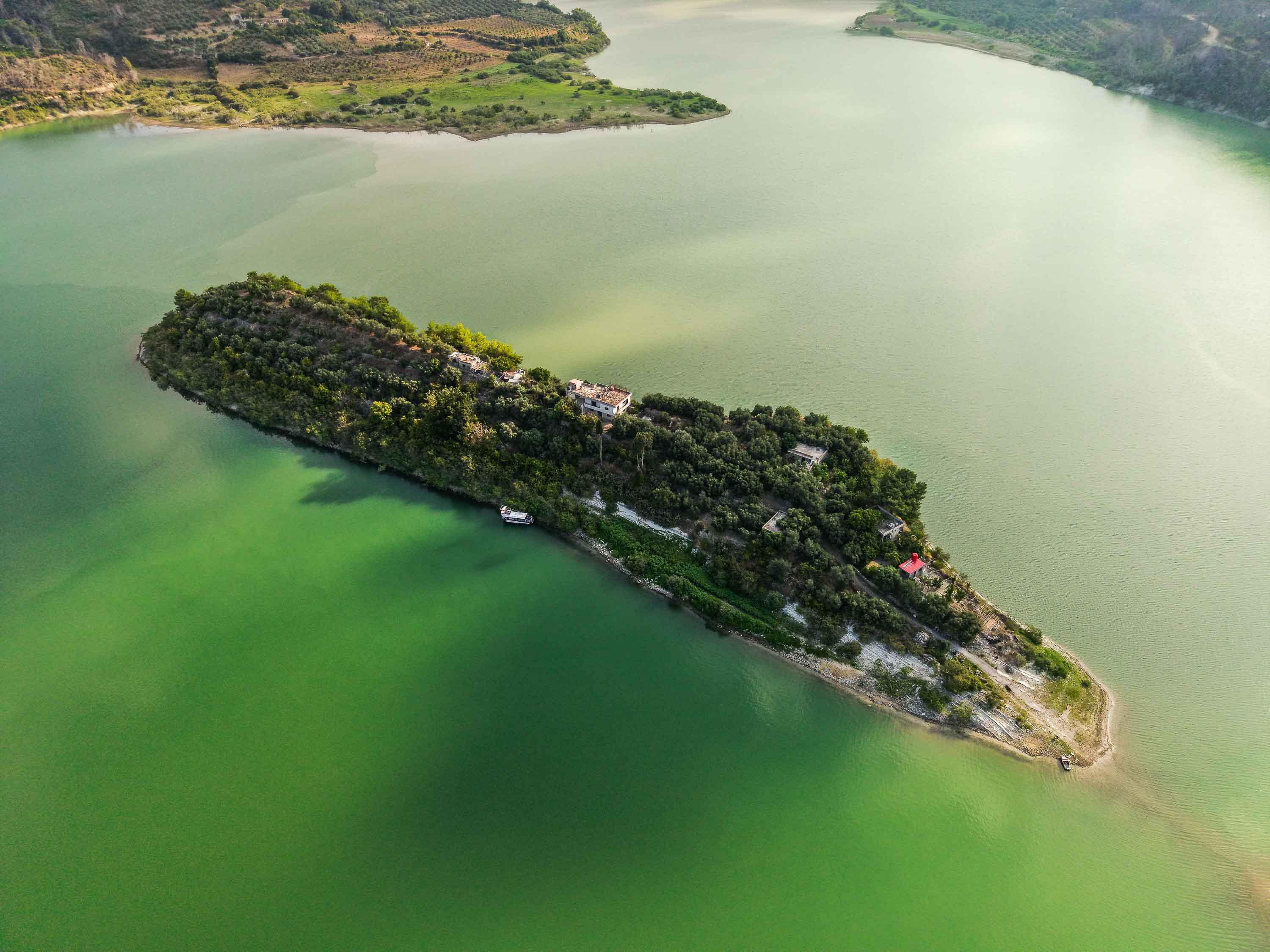
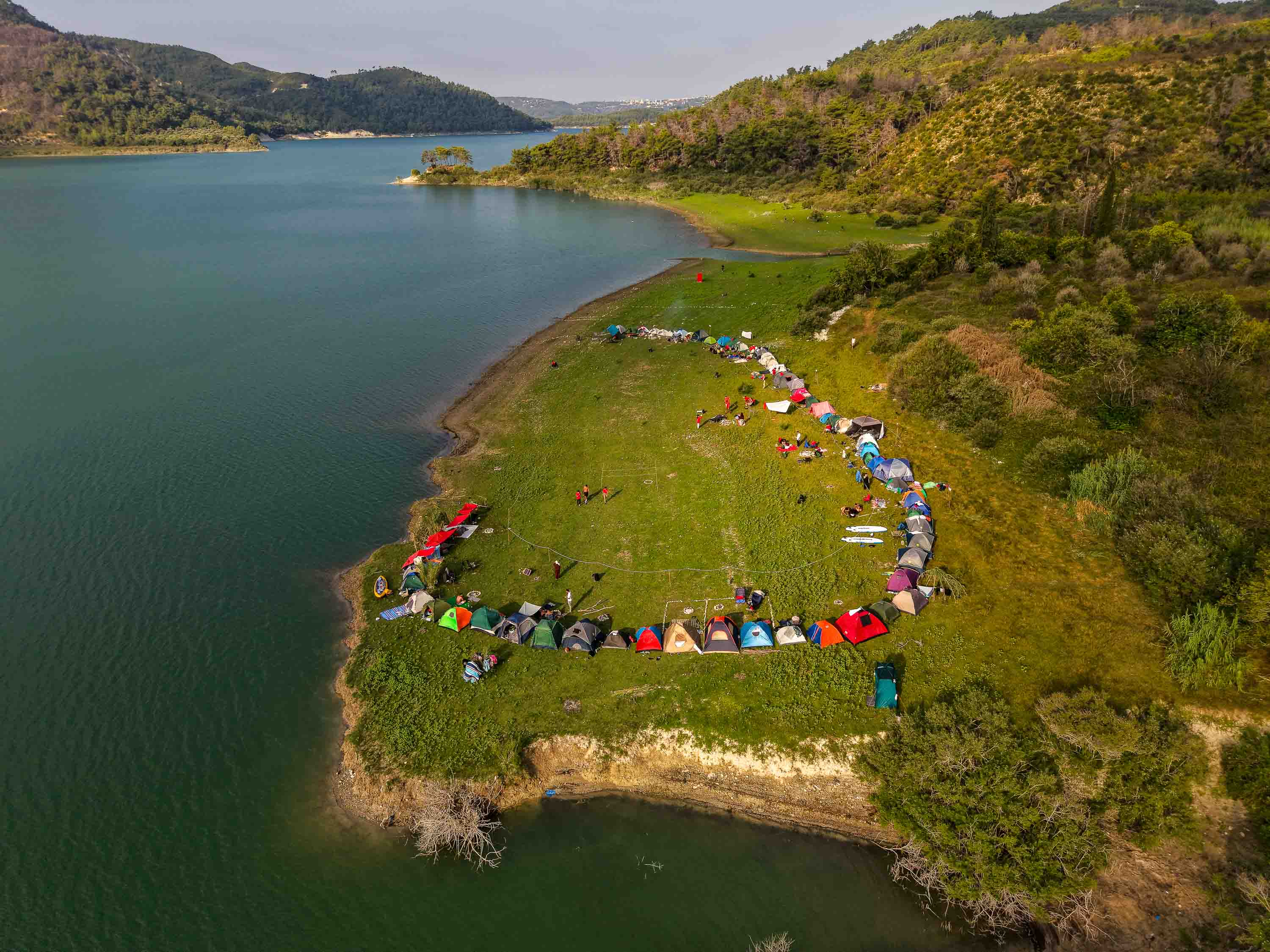
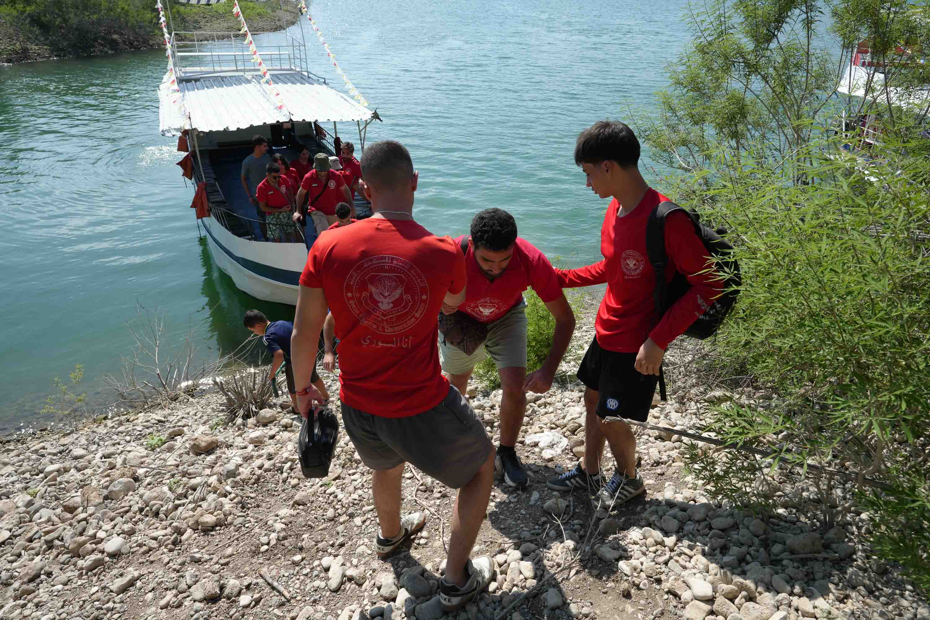
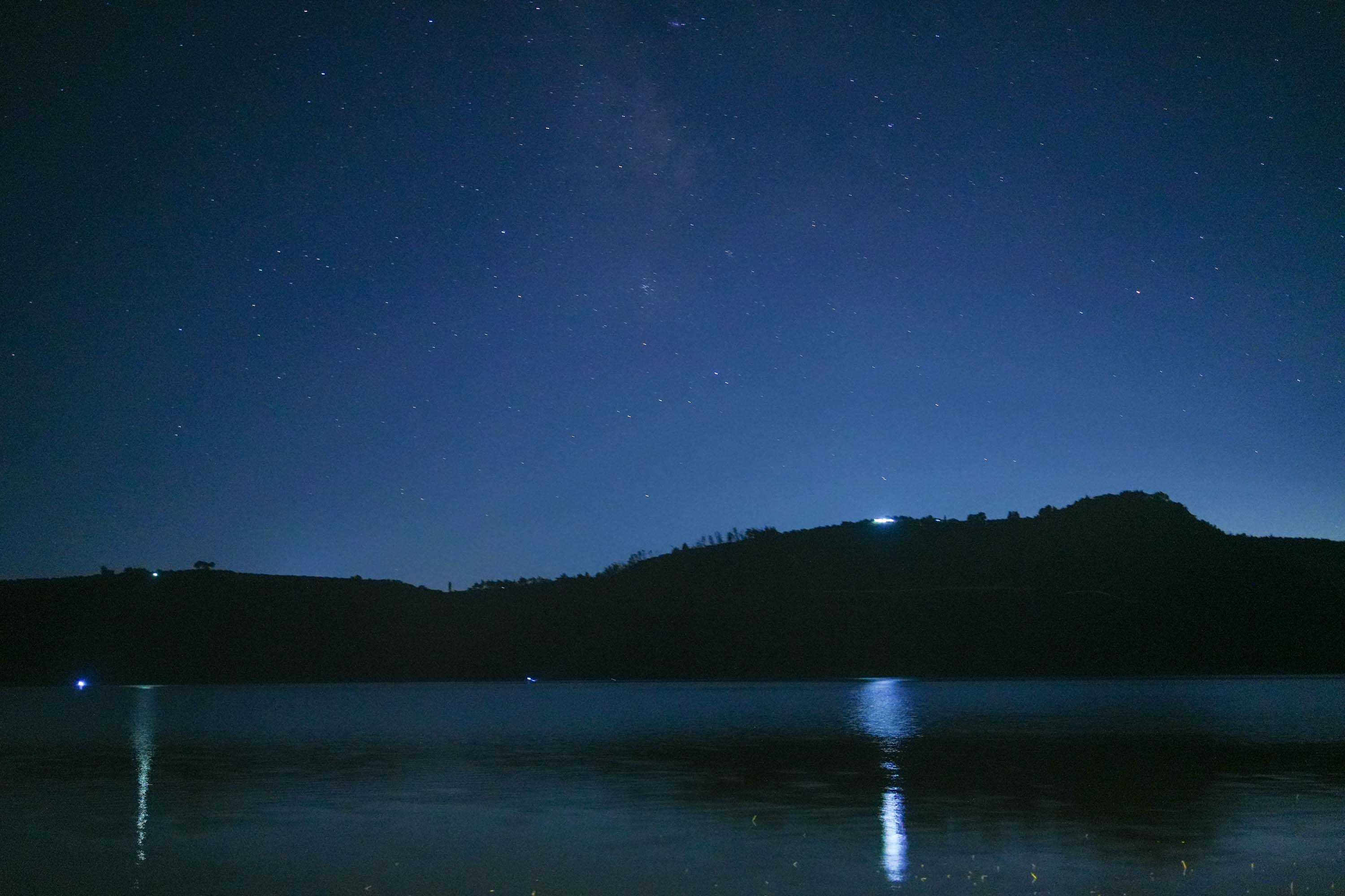
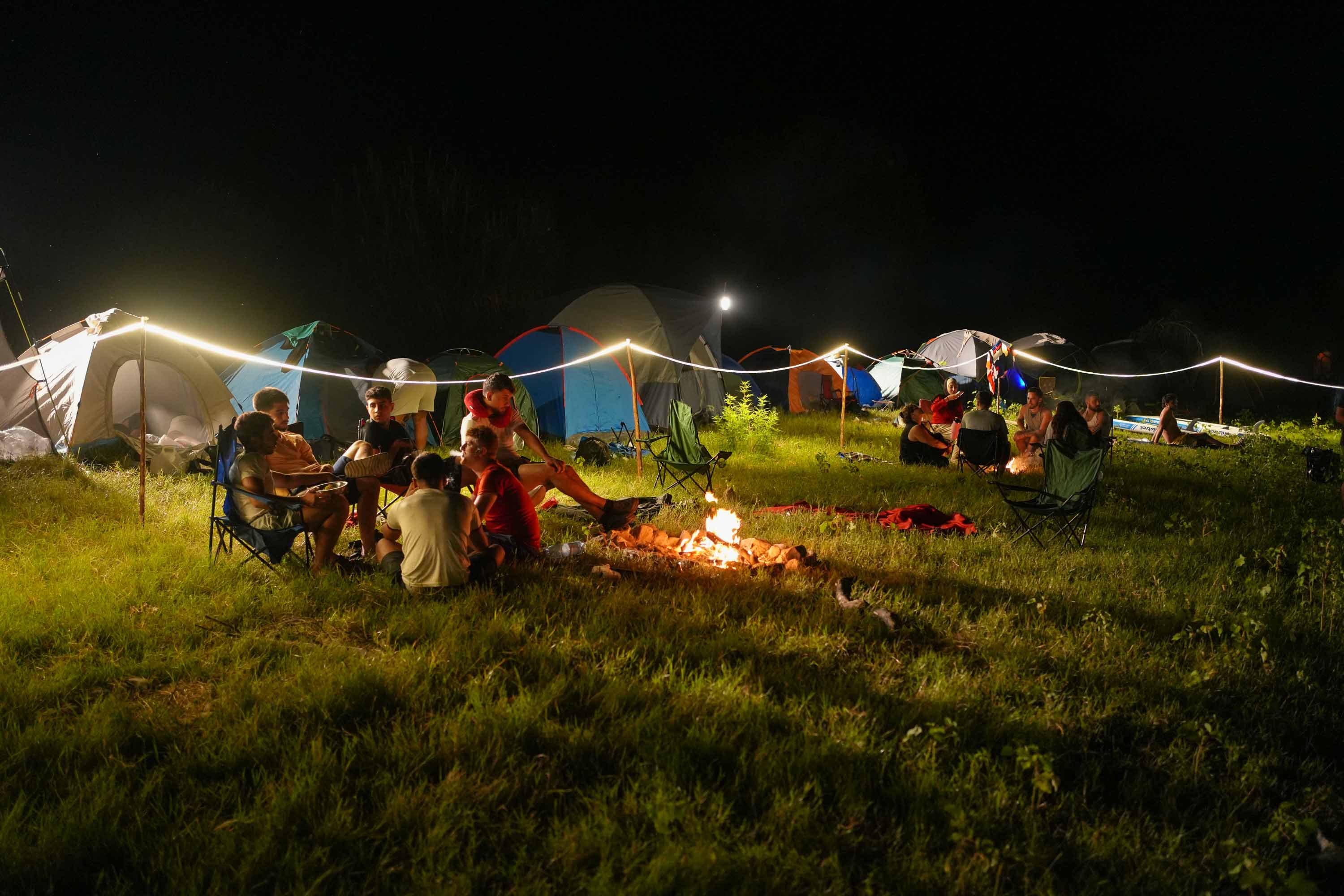
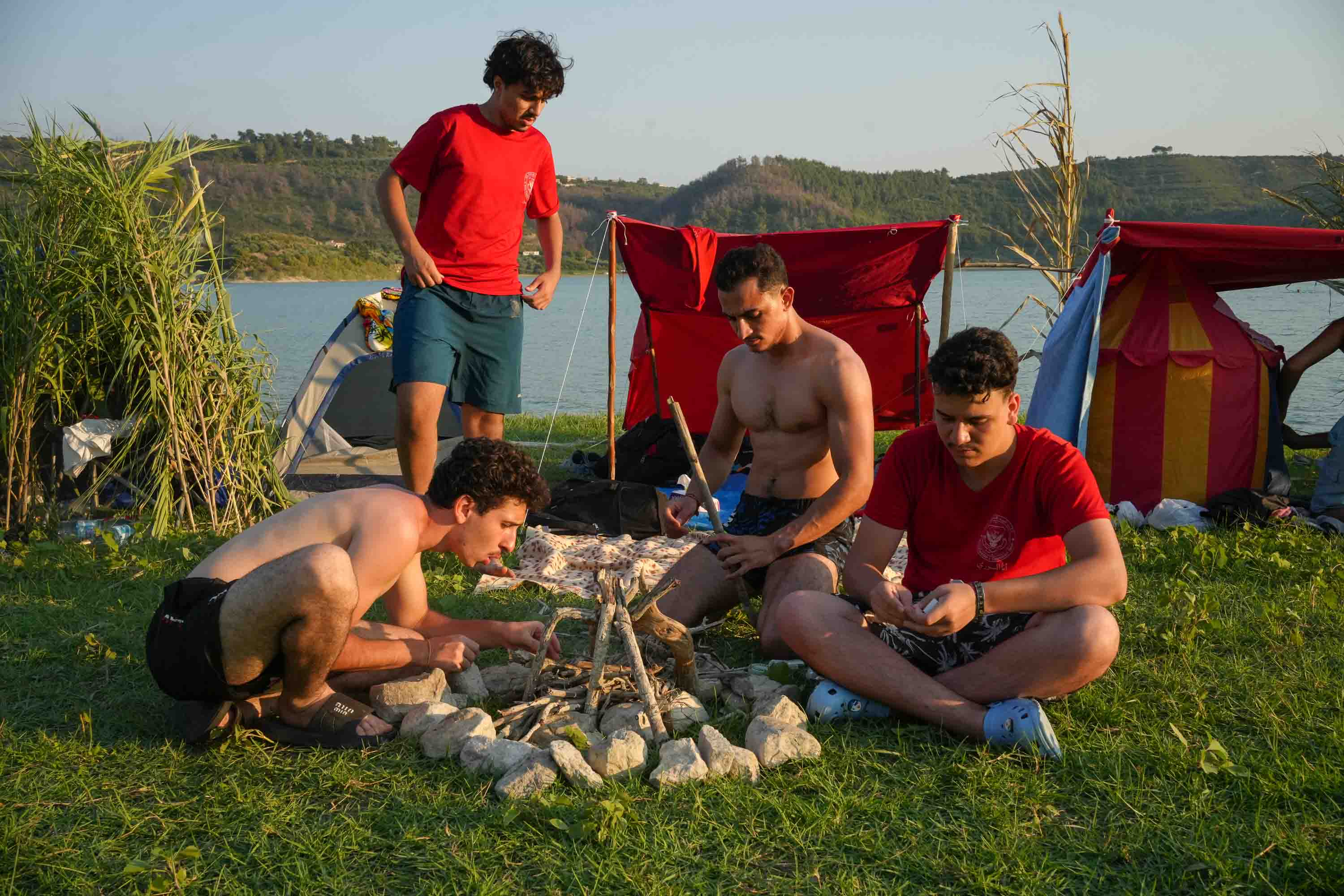
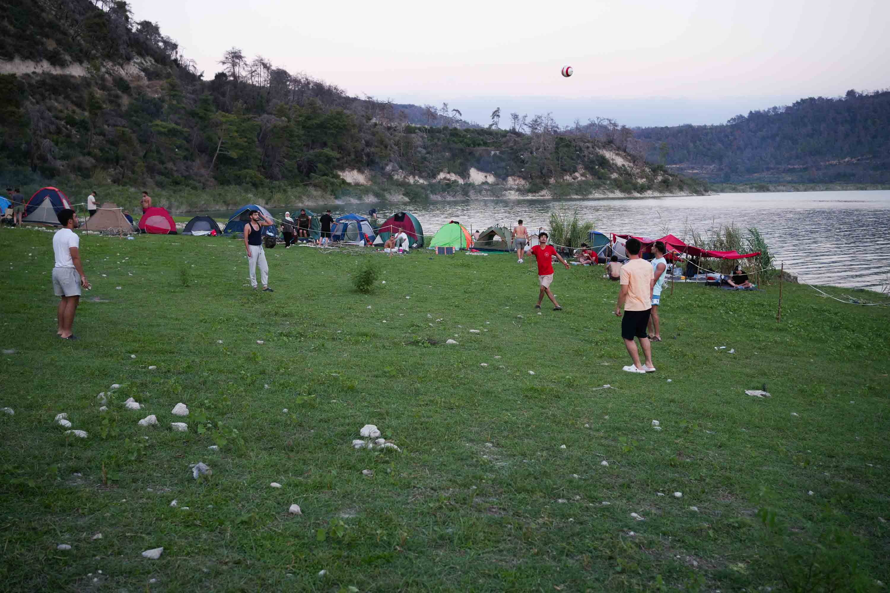
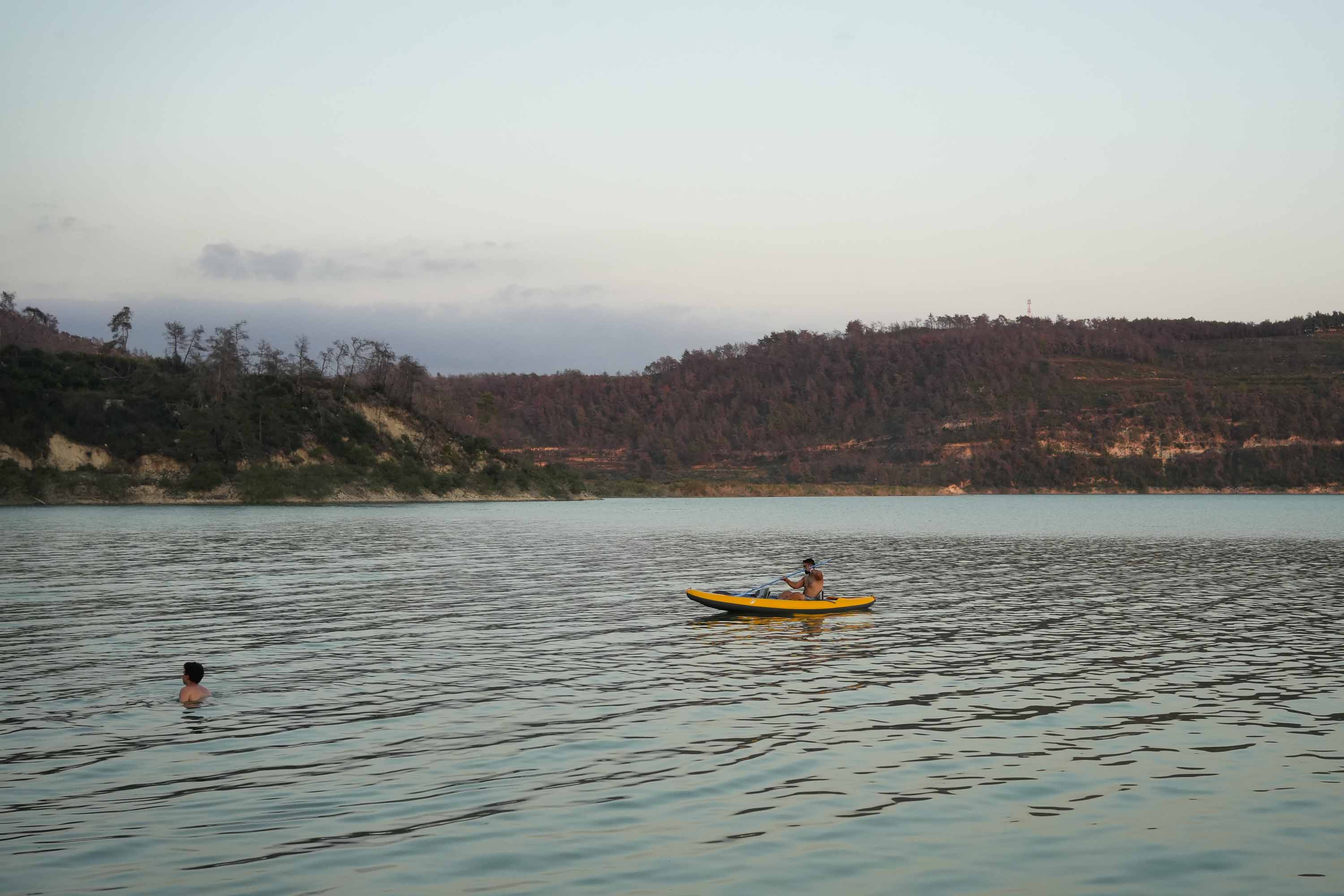
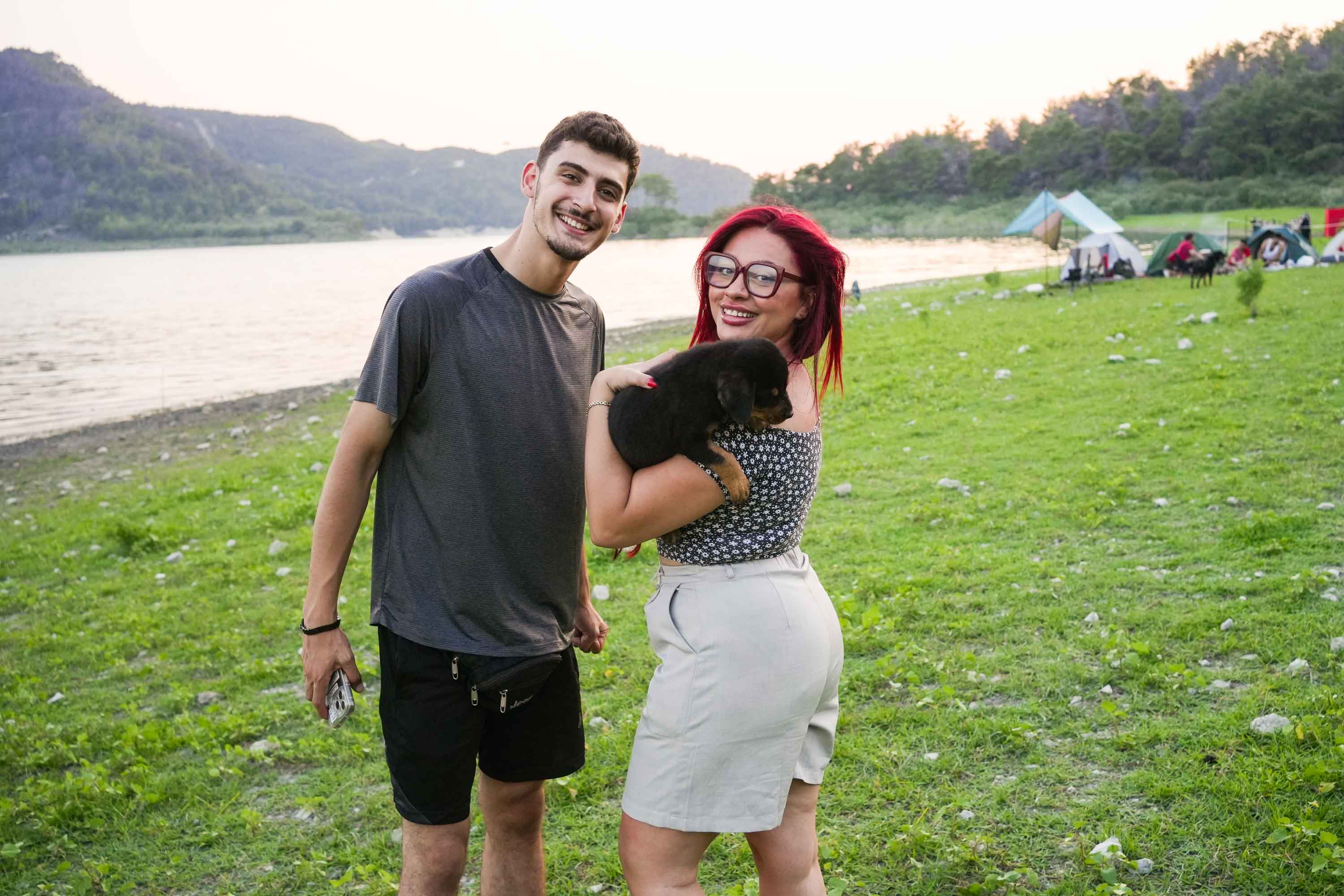
In September 2026, I joined the group for three days, exploring two of seven islands on Lake Mashqita, about 19 miles (30 kilometers) from the Mediterranean city of Latakia, on Syria’s northwestern coast, near the Turkish border.