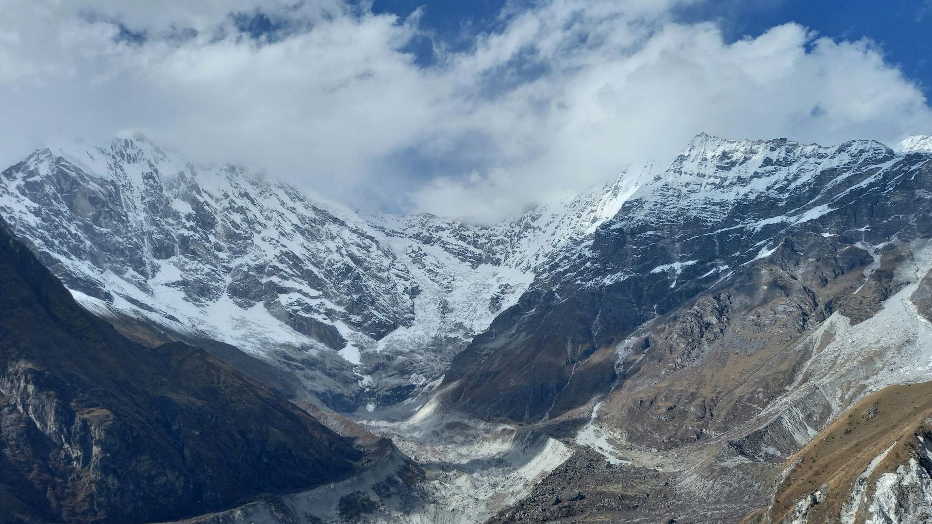


From a risk standpoint, some areas of these mountains are extremely dangerous today. To help protect people, early warning systems are crucial. When a flood starts, people living farther down the valley might have several minutes to get to safety before the water arrives—and minutes are enough to save lives.
Nepal has warning systems in place, and they have been credited with preventing casualties in the past. But the warning systems rely heavily on river-level gauges, which work far better for monsoon floods than for a wall of water moving tens of meters per second—and the flood itself likely destroyed the very gauges the warning systems depend on.
Building redundancy into the system would help, such as adding seismic sensors that detect a large mass movement the instant it happens, sirens and loudspeakers in valley-bottom settlements, radio and satellite-based cell broadcasts that don’t rely on a single tower that a flood can sweep away, and automatic alerts triggered when an avalanche and sudden water and sediment level in the river jumps.
Knowing the risks can also improve permit decisions for hydropower dams, roads and buildings in high-hazard corridors—and it can push monitoring beyond the familiar checklist of large glacial lakes to hanging glaciers, steep ice-and-rock slopes, permafrost, and the short-lived debris dams that can be just as deadly.
Regional cooperation is also important. When rivers cross borders or a transboundary glacial lake has potential to fail, the disaster doesn’t stop at the border. The water that devastated Nepal began on the Tibetan side, and the barrier lake that threatened a second surge sat right on the frontier.
**
This article is republished from The Conversation under a Creative Commons license. Read the original article.