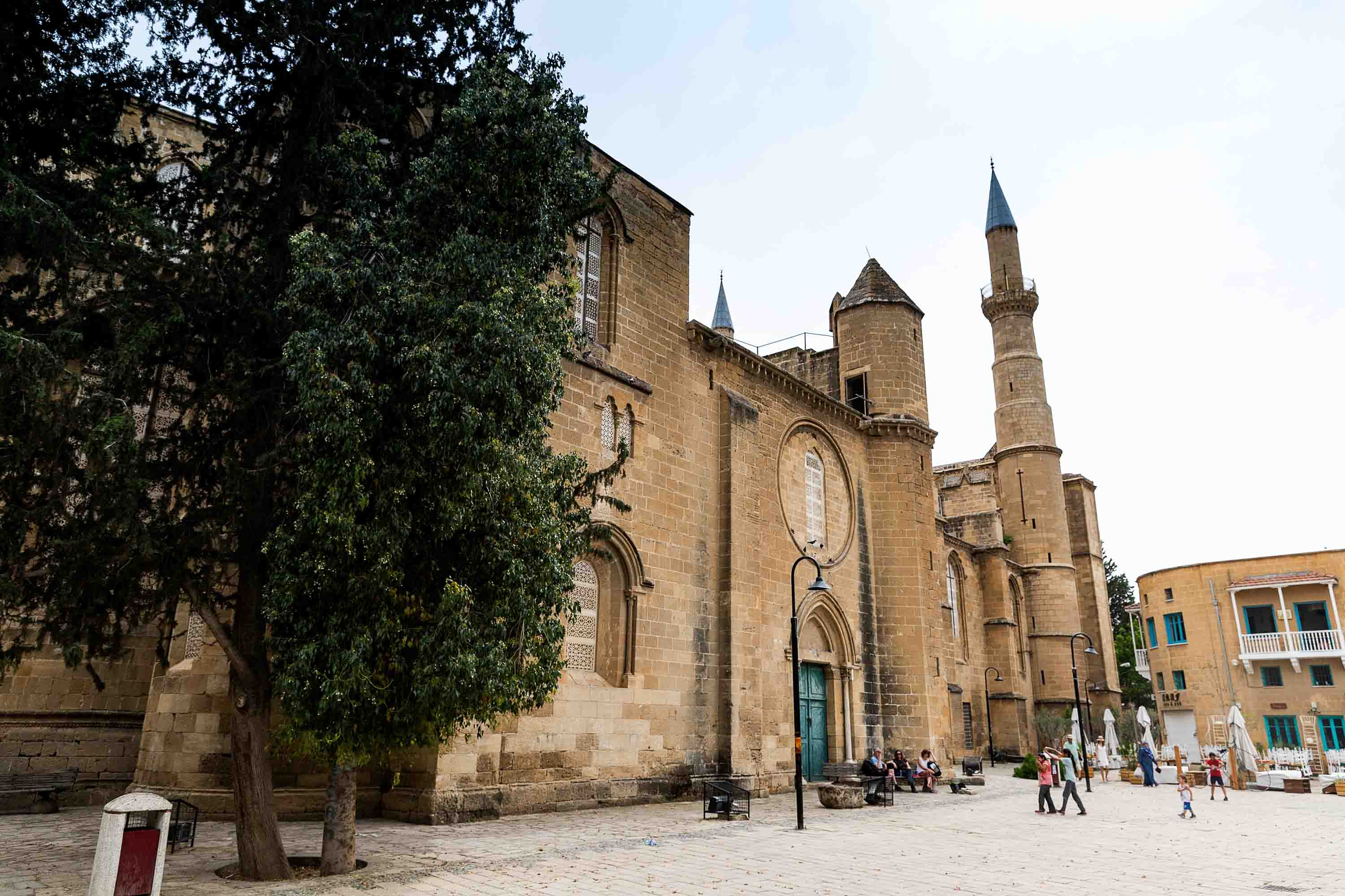
Note: This article is not a political analysis; it is a personal essay from someone who grew up in Nicosia and has lived in different parts of the city. The terms ‘northern’ and ‘southern’ refer to directions across the buffer zone.
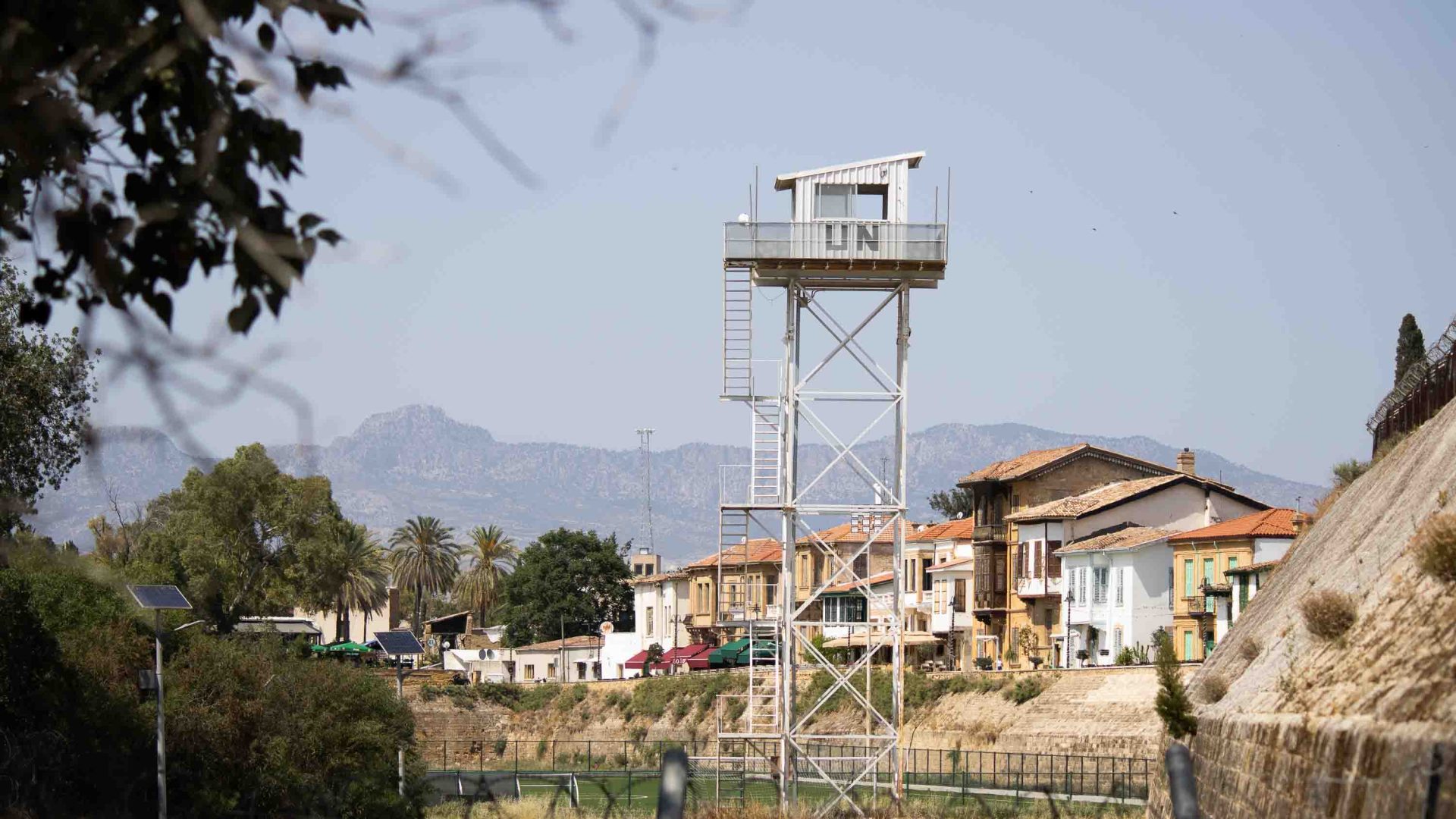
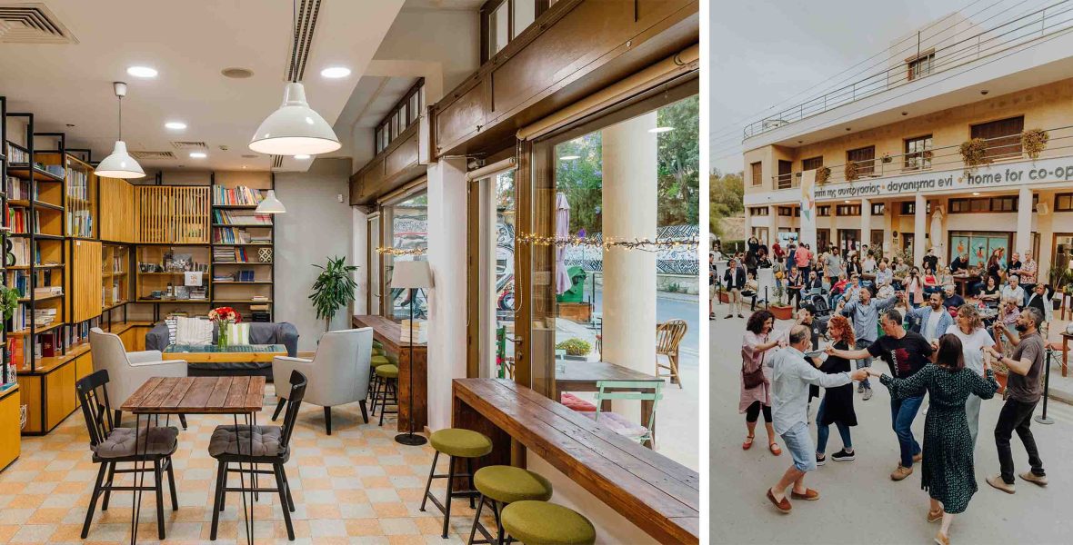
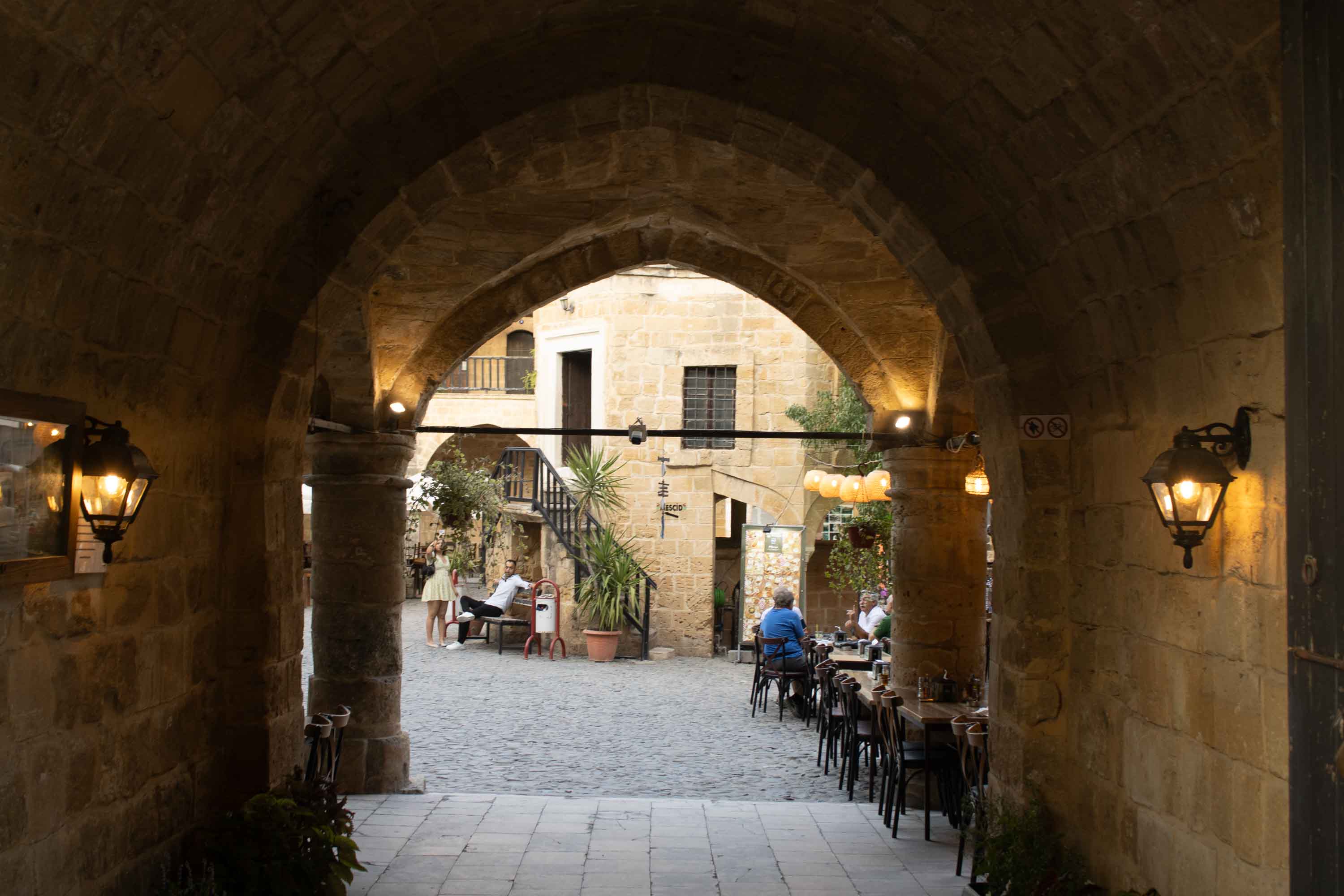
I’m sipping a coffee at Home for Cooperation, a community center in Nicosia’s buffer zone in the Ledra Palace area. All around me people are chatting away in Greek, English, Turkish (or all three at the same time) while outside we’re surrounded by barbed wire and UN peacekeepers. It’s one of the few places in the city where you can feel both division and unity in Cyprus’ capital.
While the physical division is obvious, it feels more united here than anywhere else in the city. There’s talk of peacebuilding projects, bi-communal events between Greek and Turkish Cypriots, and, of course, the ‘Cyprus problem’. In Cyprus, any topic, no matter how big or small, important or unimportant, can circle back to the ‘Cyprus problem’, the longstanding issue between Greek and Turkish Cypriots over the island.
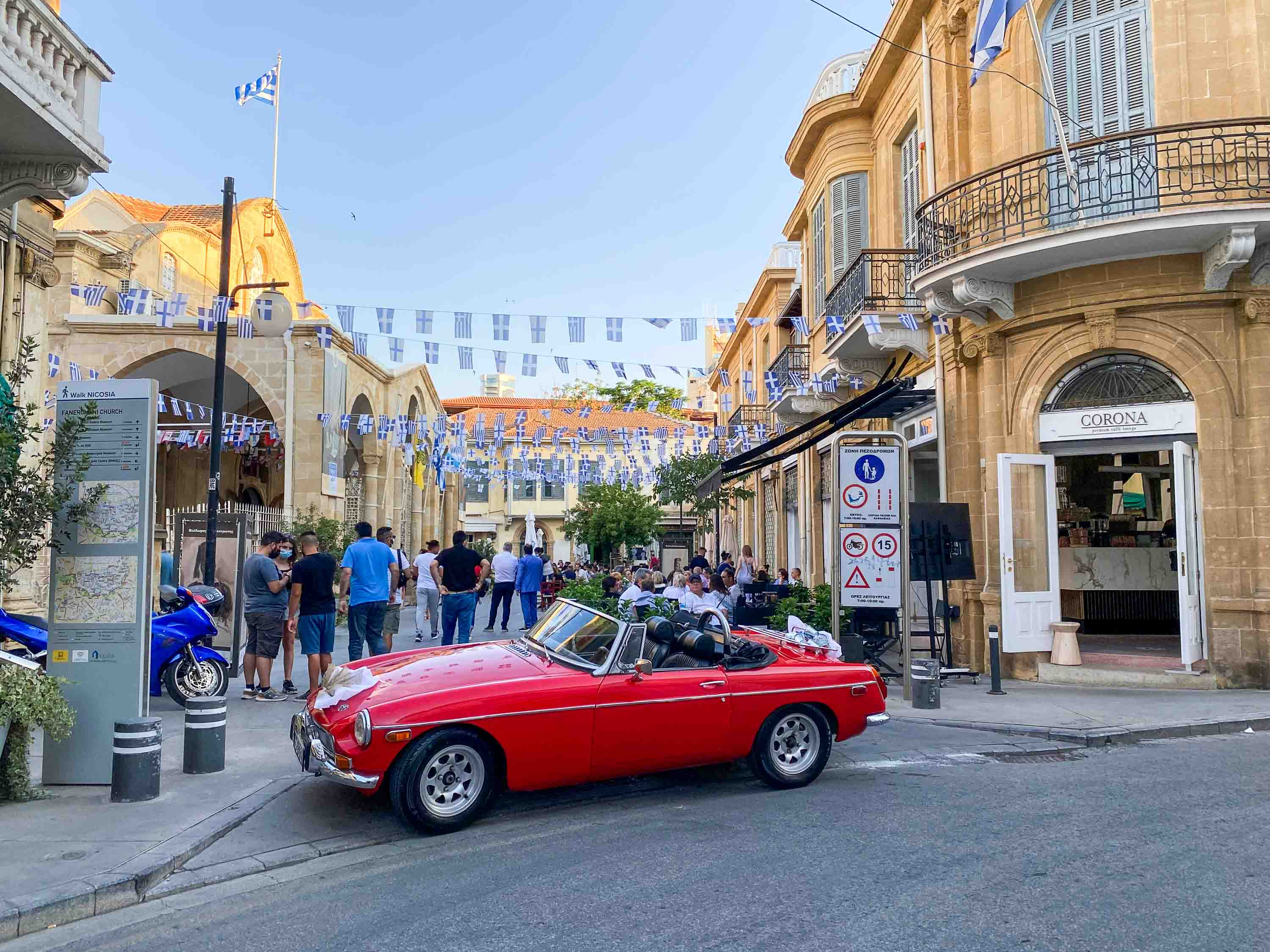
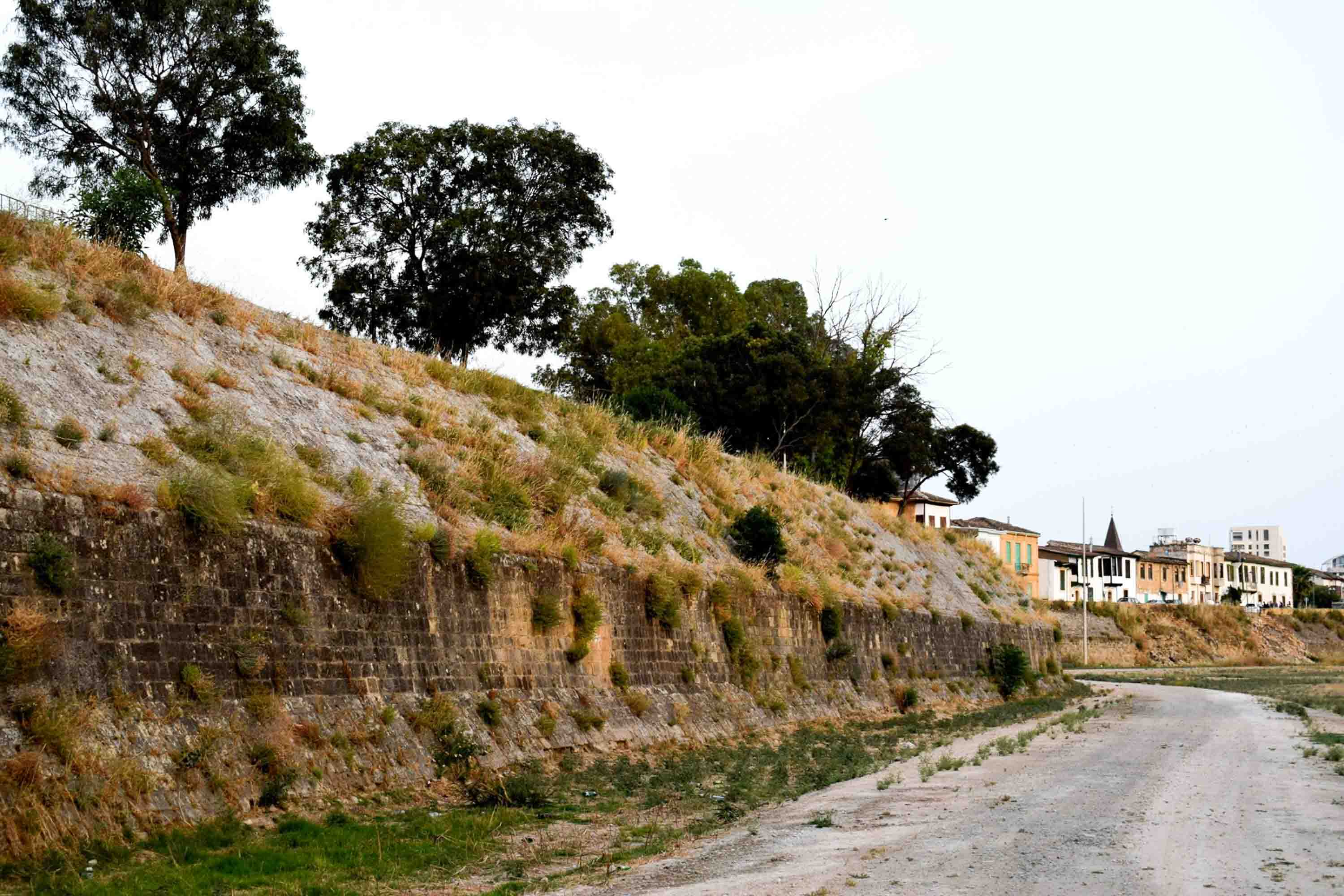
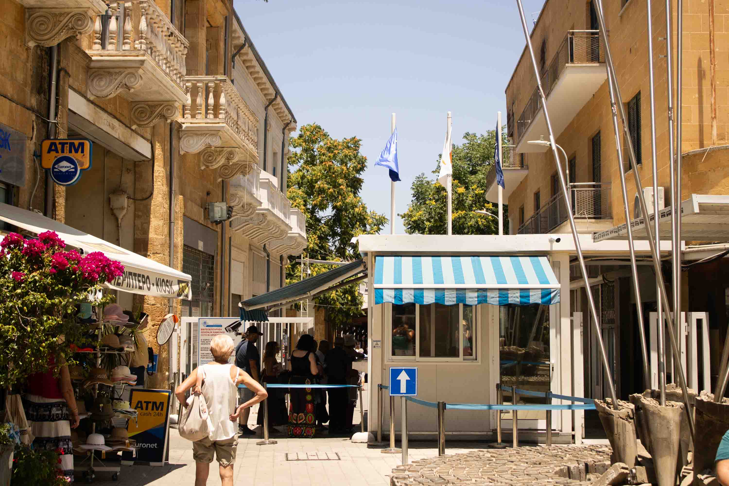
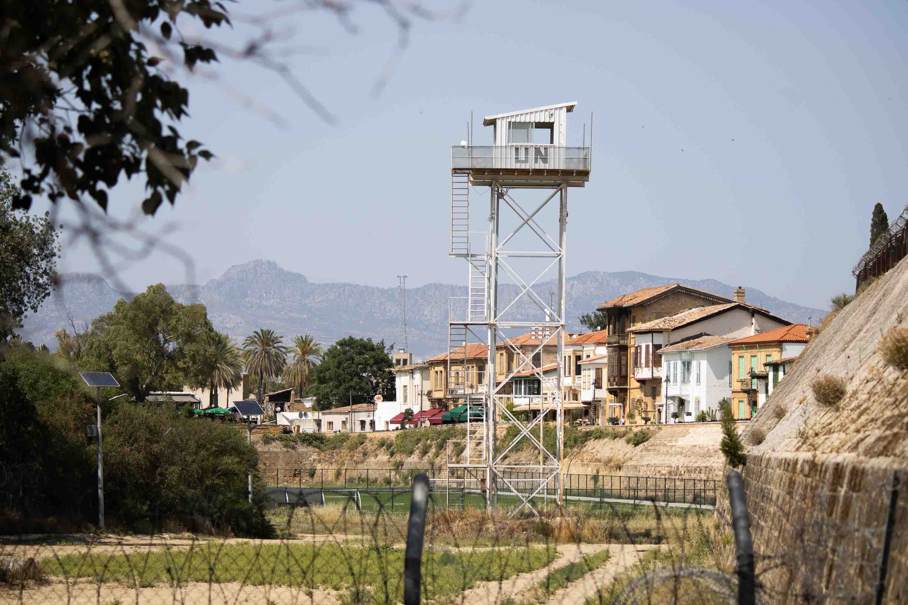
Since 1974, there’s been a UN-operated buffer zone stretching 112 miles (180 kilometers) across the island in the Mediterranean Sea. But Nicosia was divided 10 years earlier (from the end of 1963 through 1964) due to to intercommunal conflict. Today, most Turkish Cypriots live on the northern side of the buffer zone, under the unrecognized, de facto state of the Turkish Republic of Northern Cyprus. Greek Cypriots live on the southern side, under the Republic of Cyprus, created as a bi-communal republic in 1960. To reach the buffer zone and travel from one side to the other, you need to show your ID or passport at the checkpoint.